Loading map…
Pacific Ocean
Ocean
The largest and deepest of the world's oceans, along Mexico's west coast. The Sea of Cortez is an arm of it.
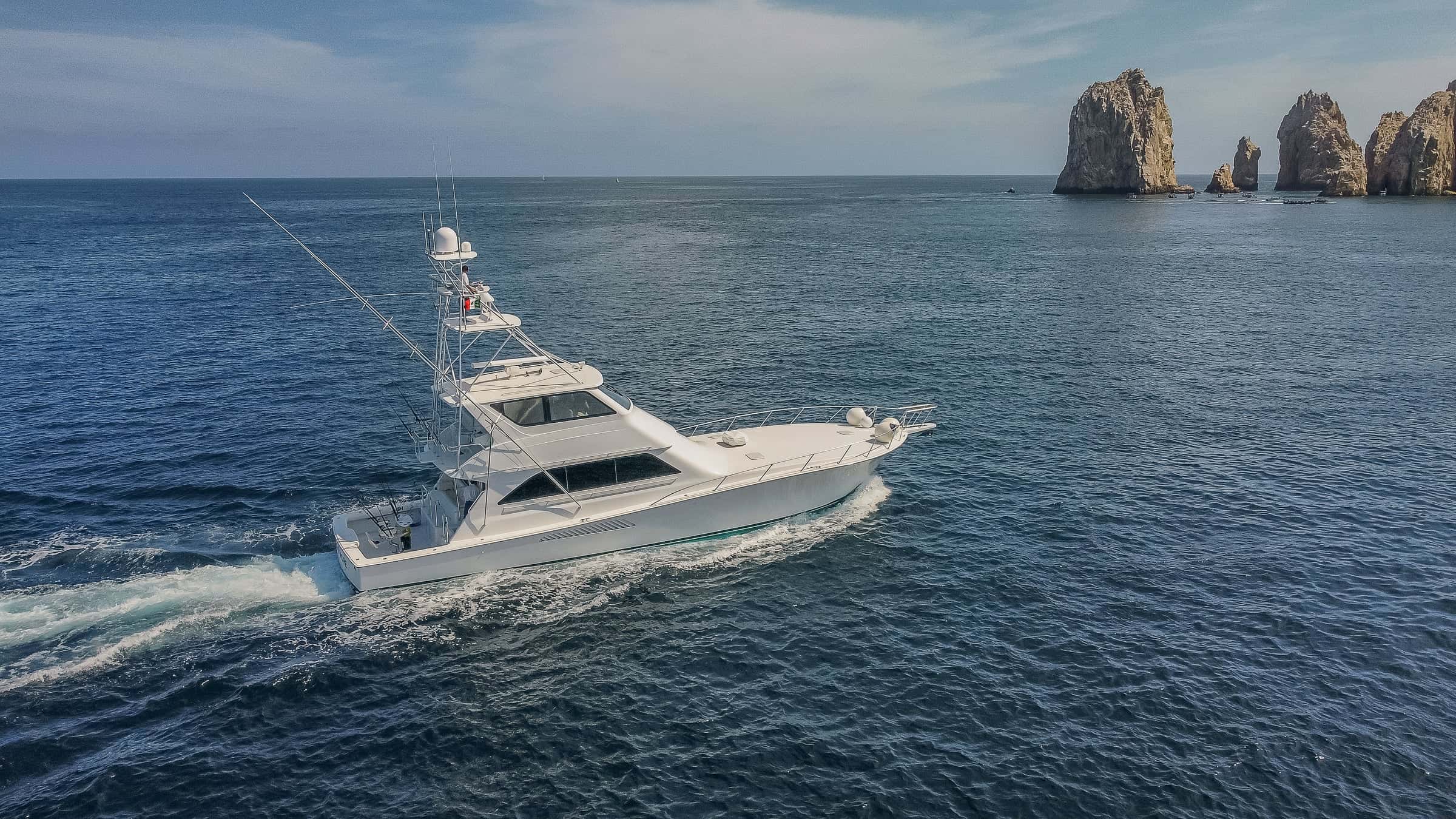
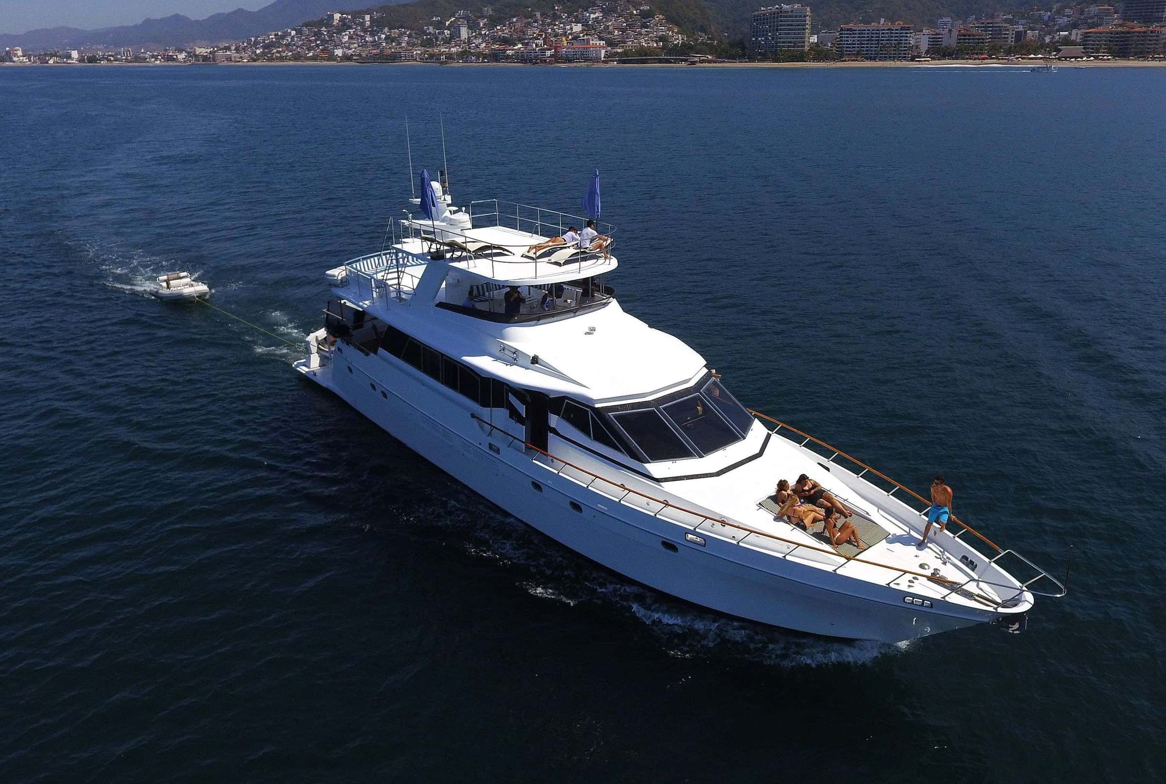
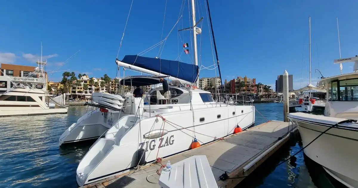
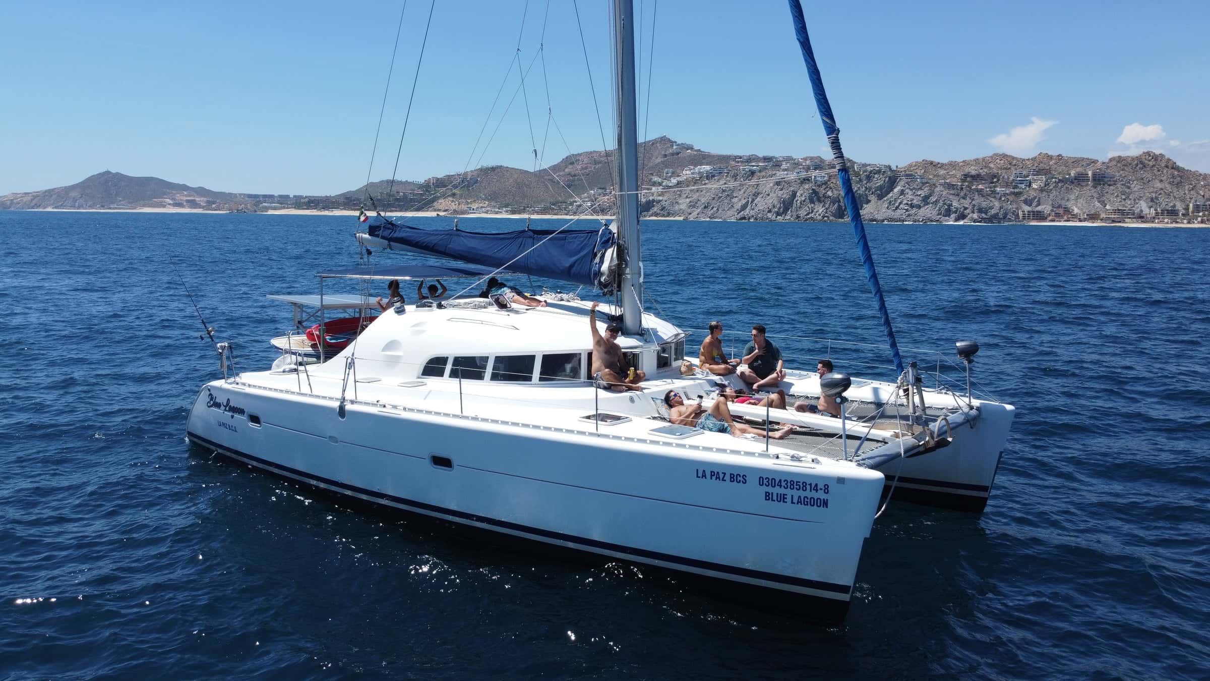
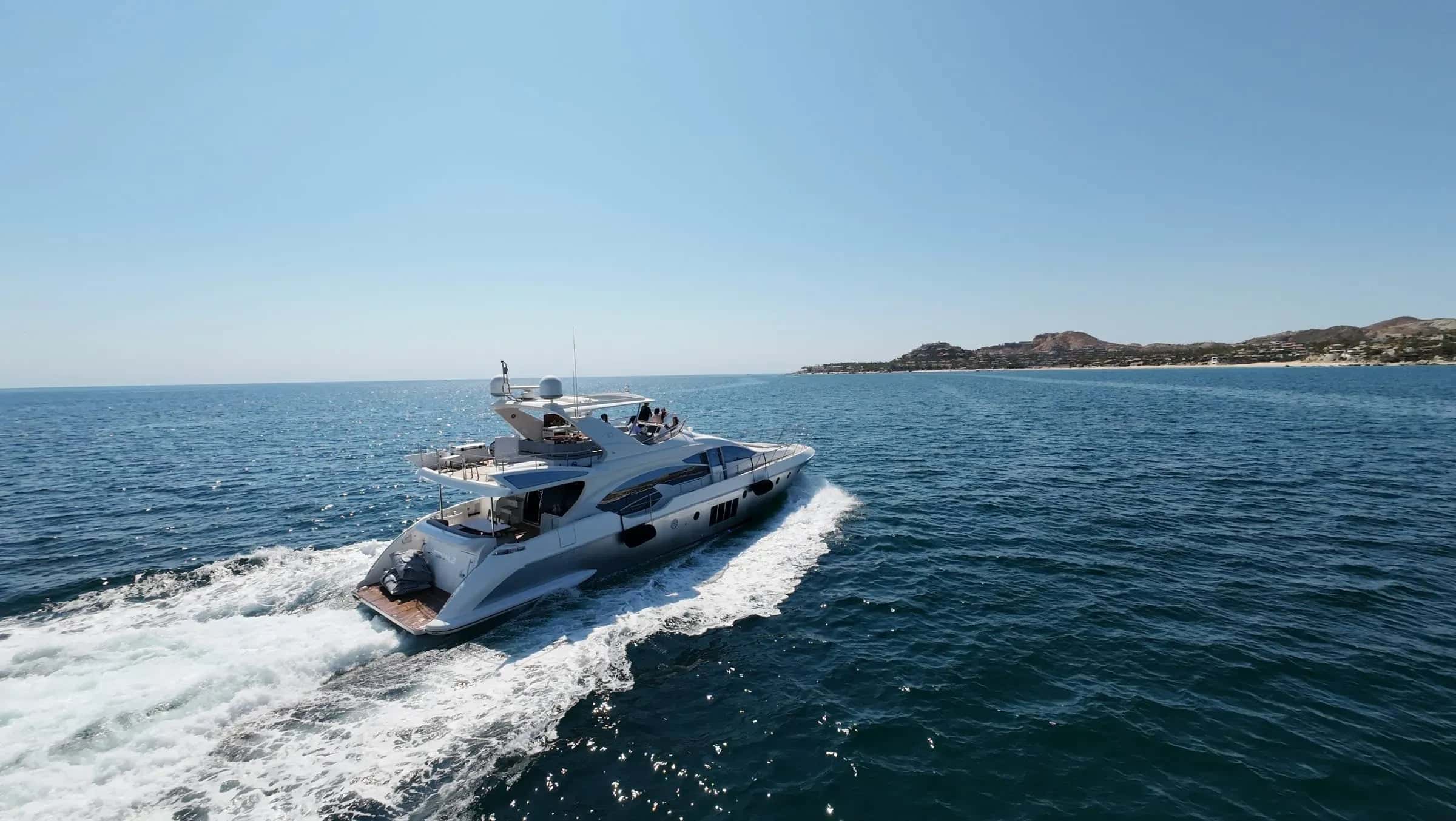
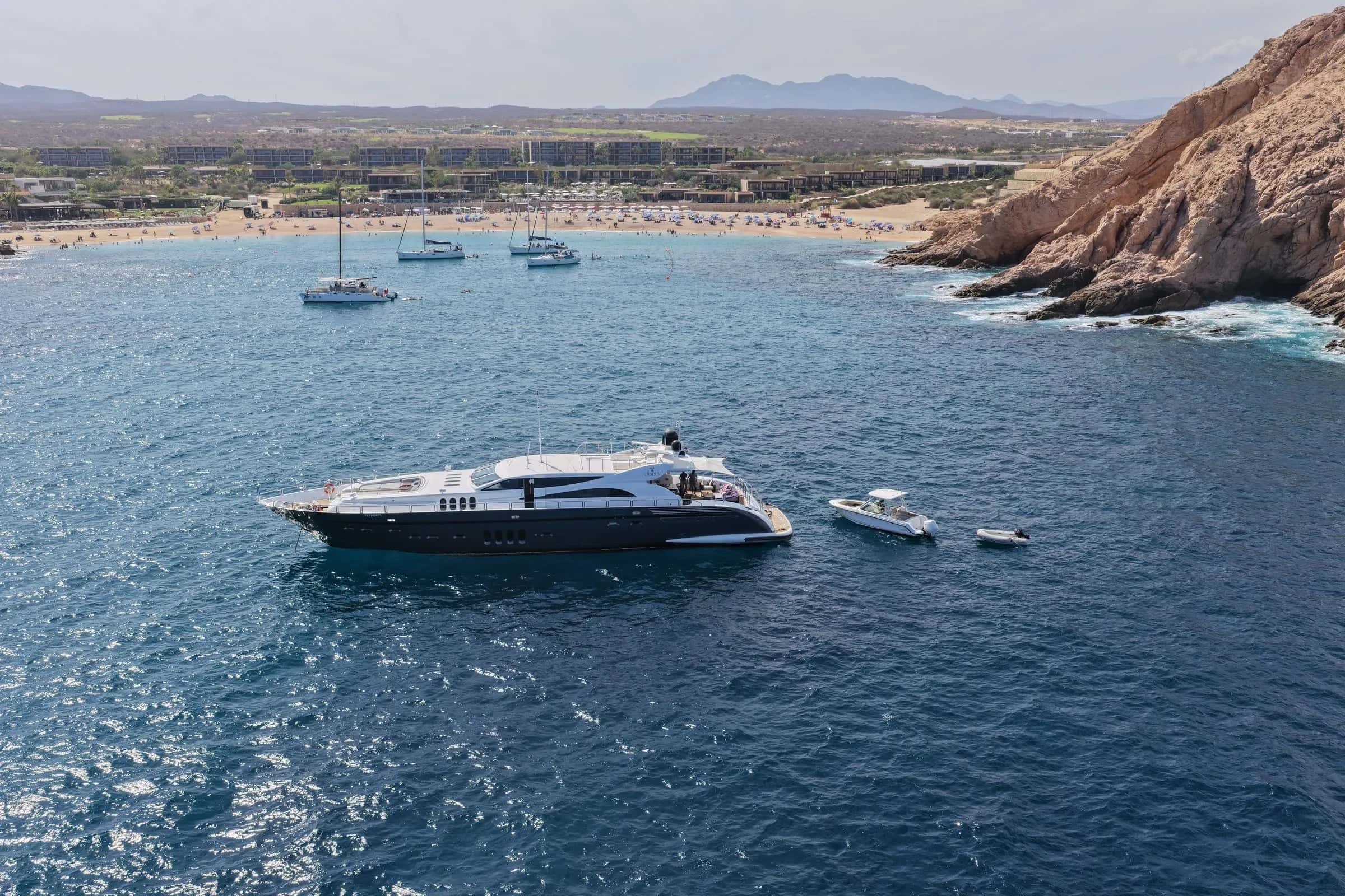
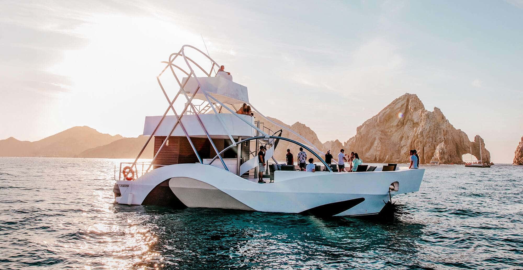
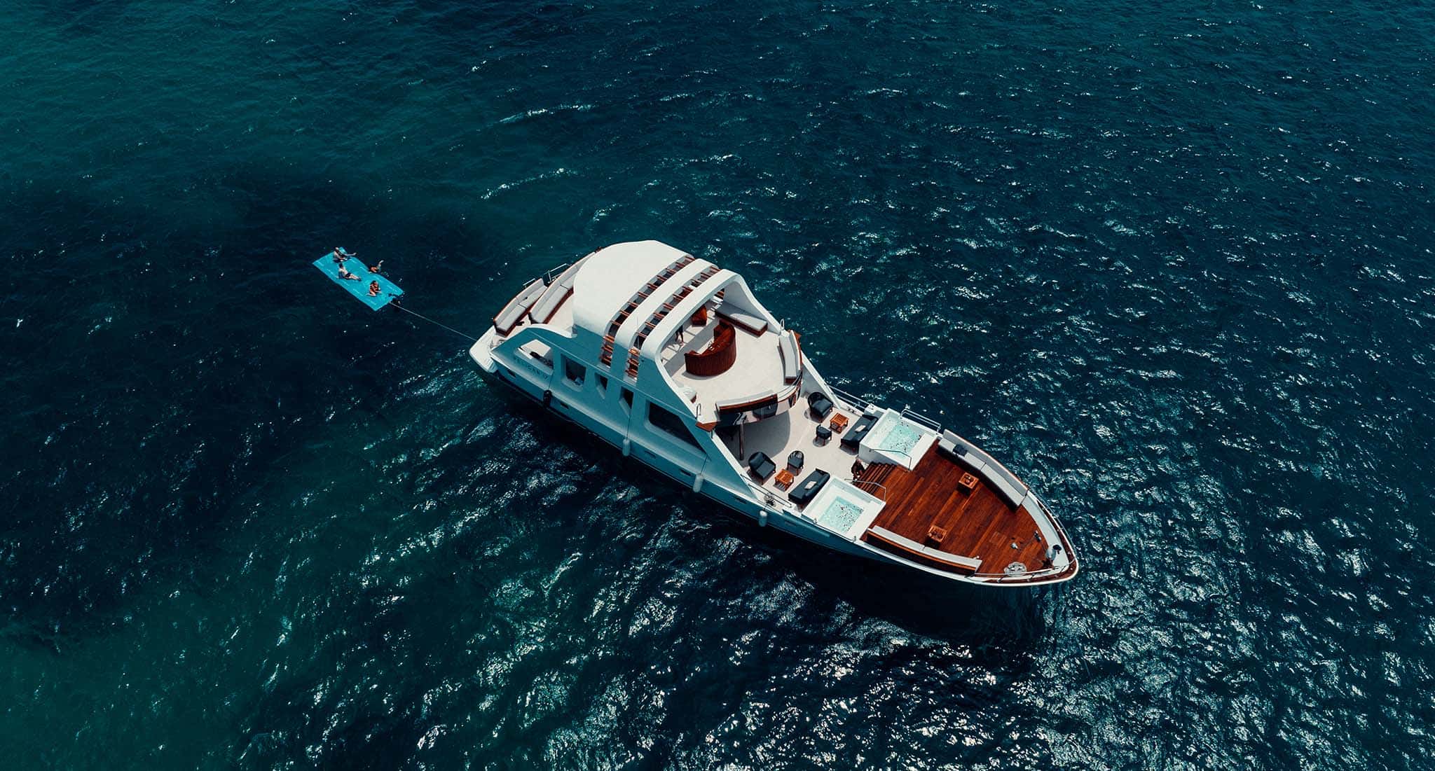
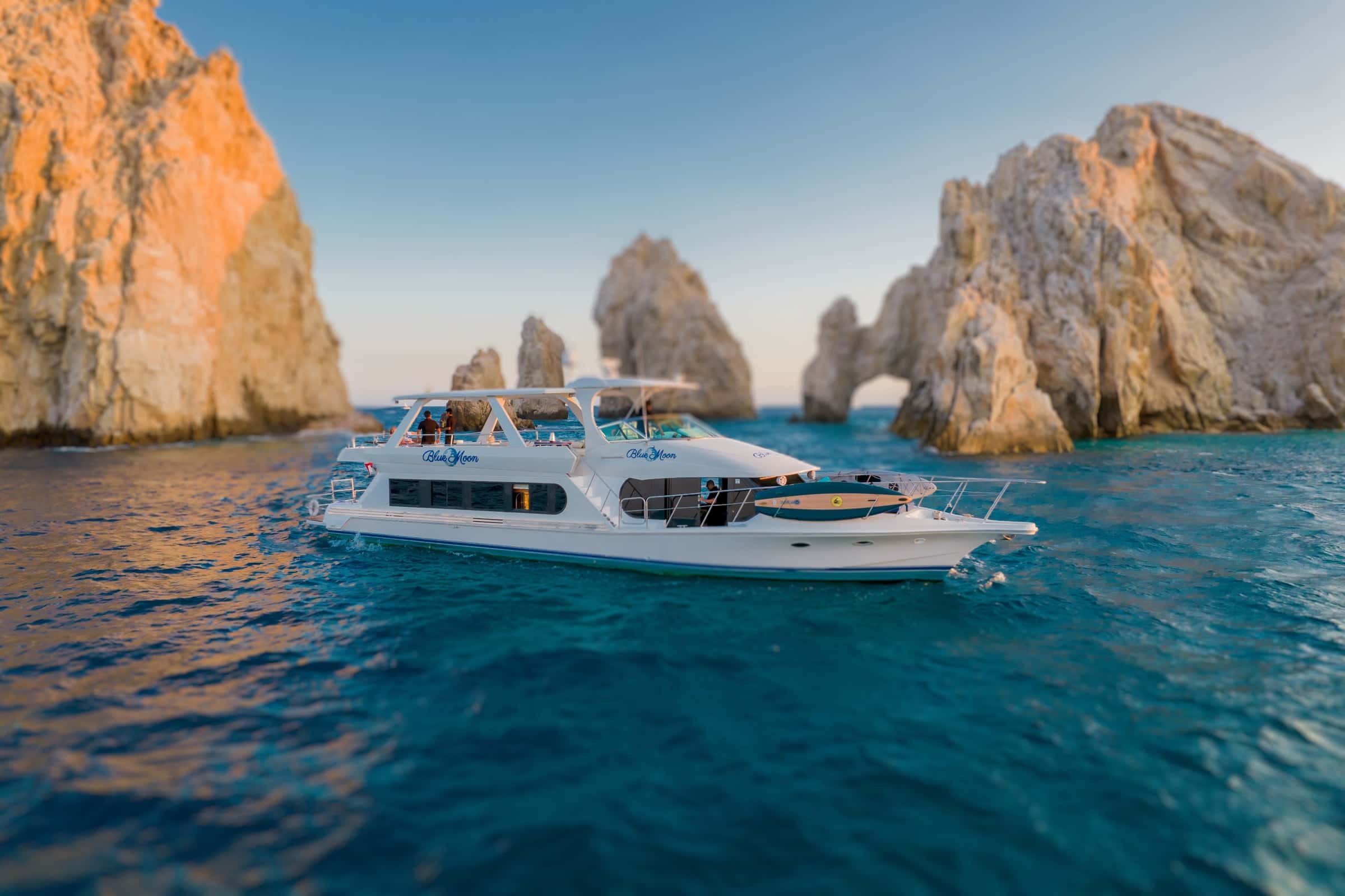
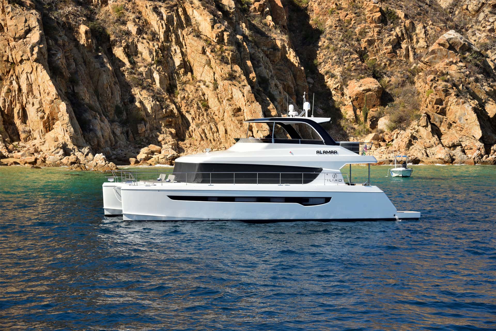
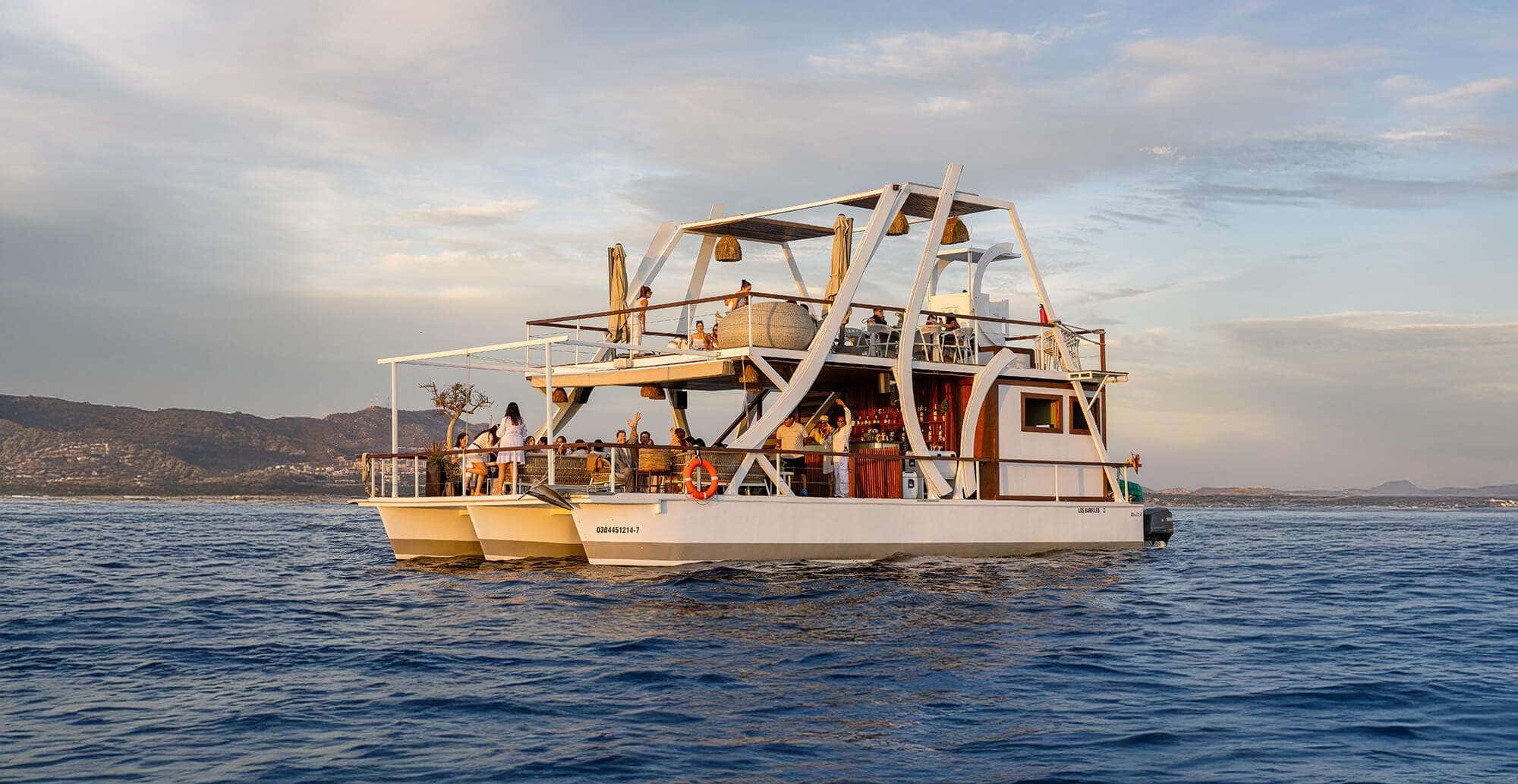
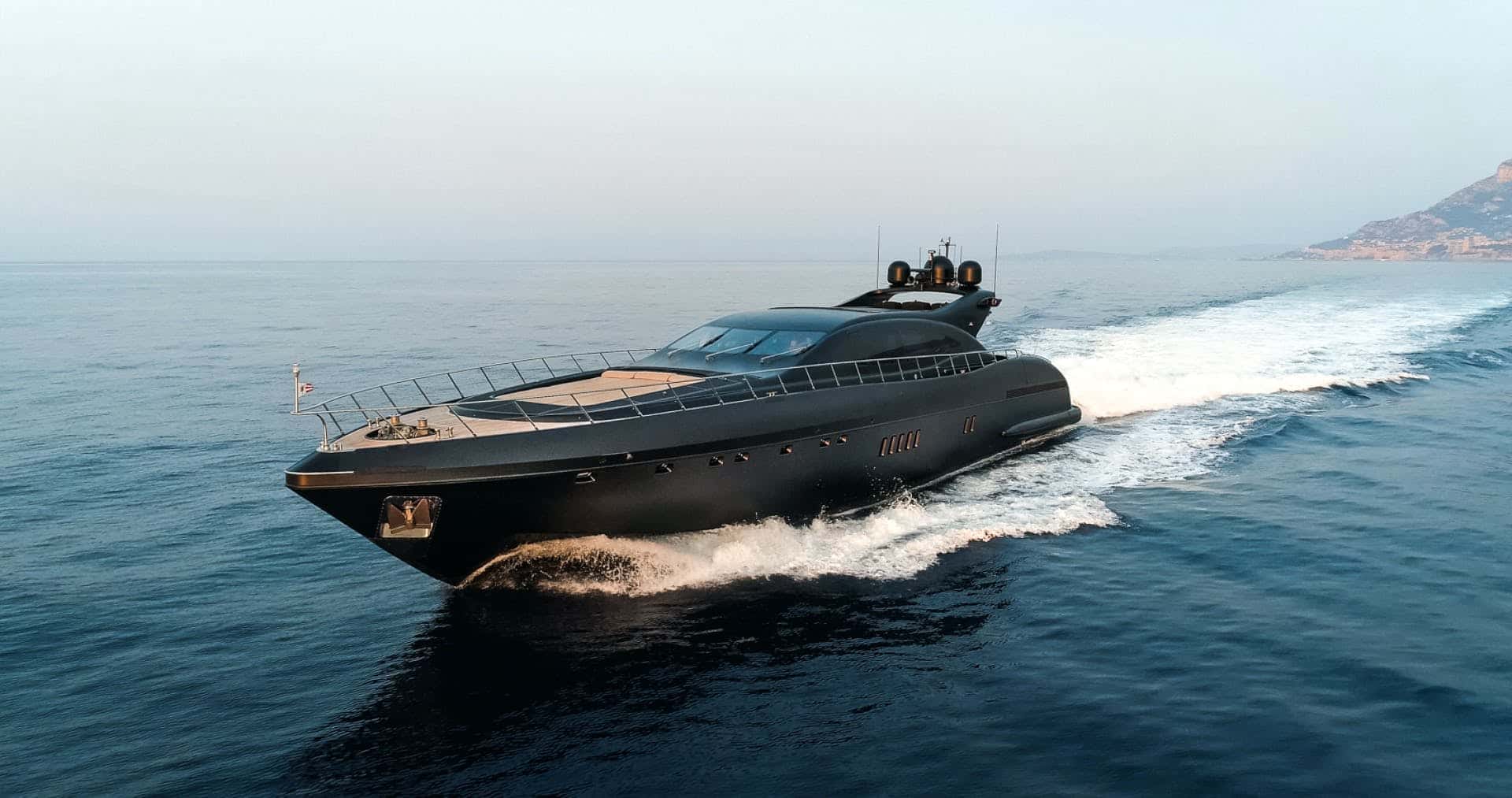
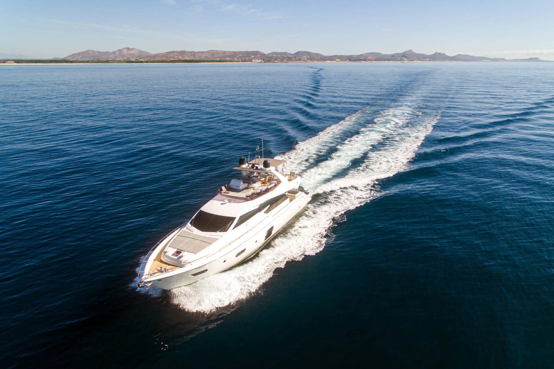
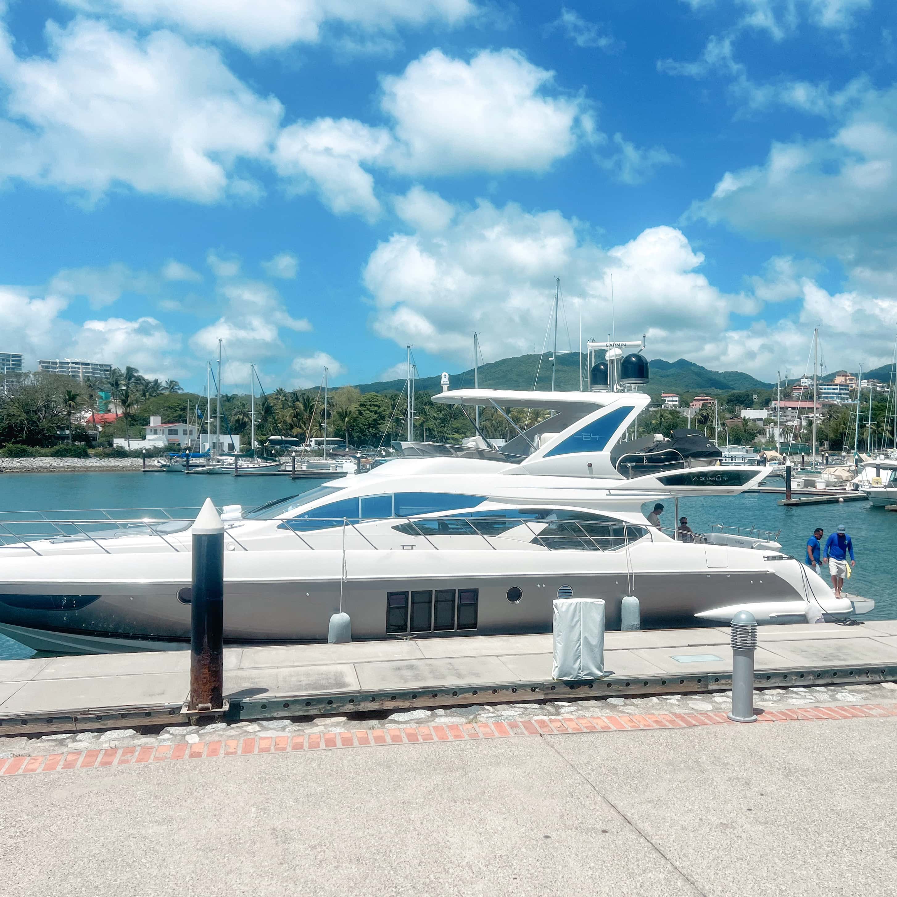
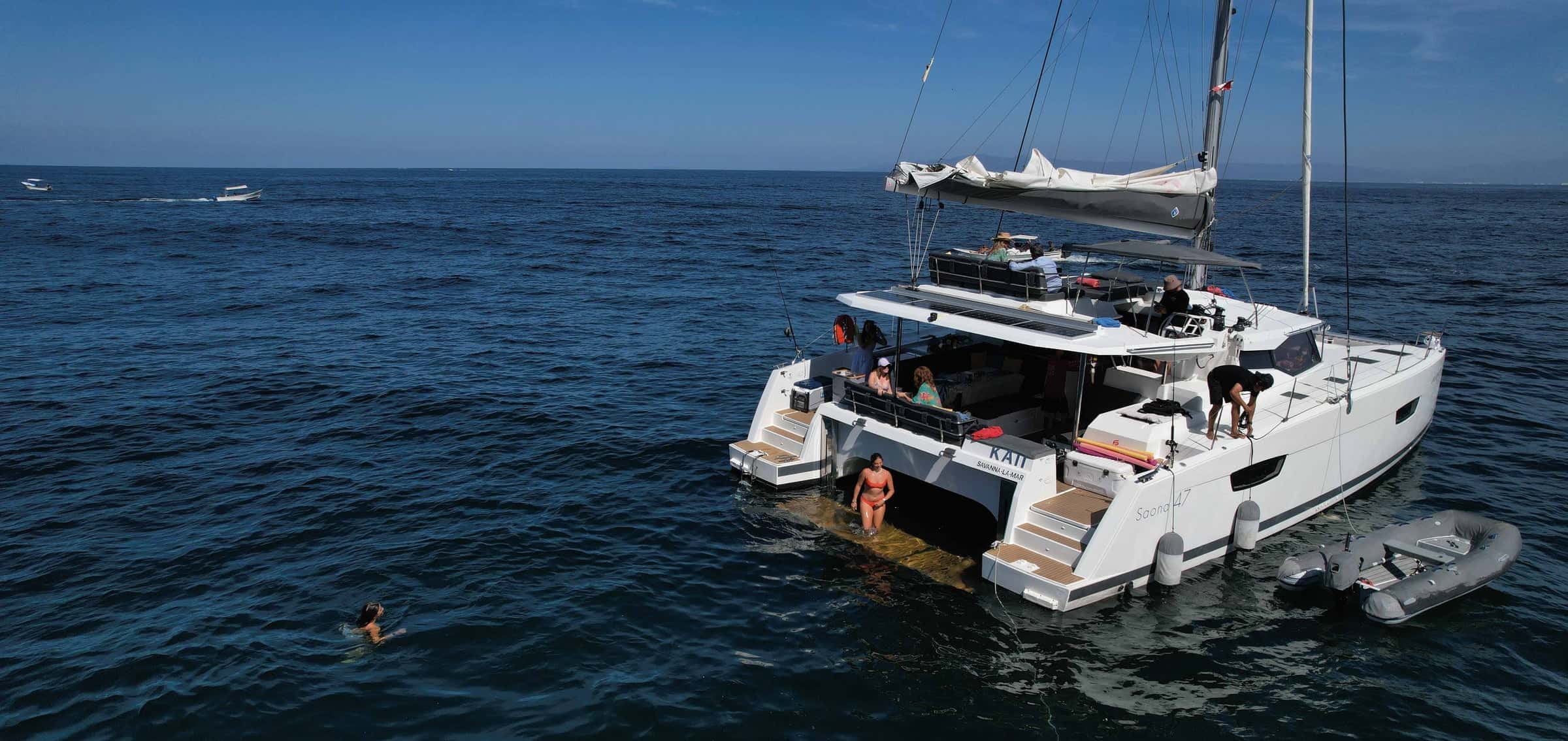
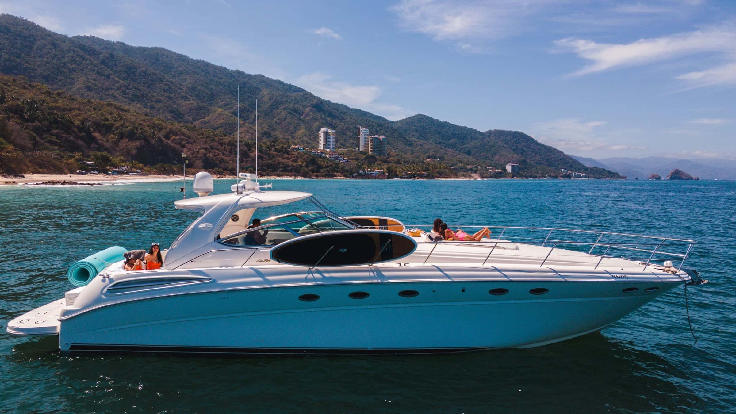
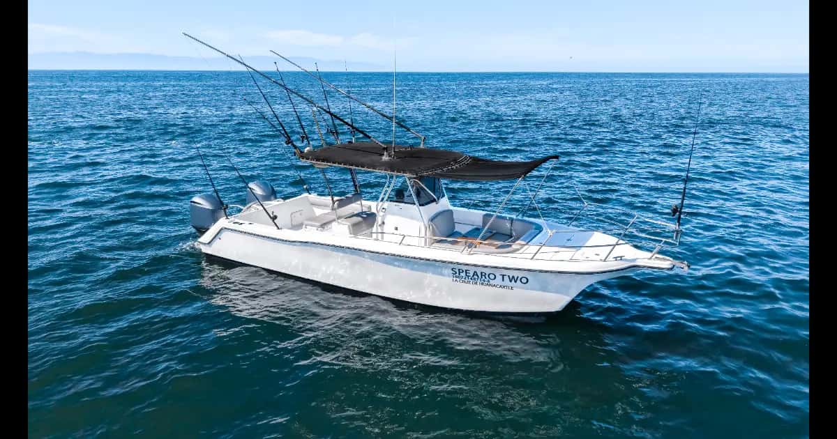
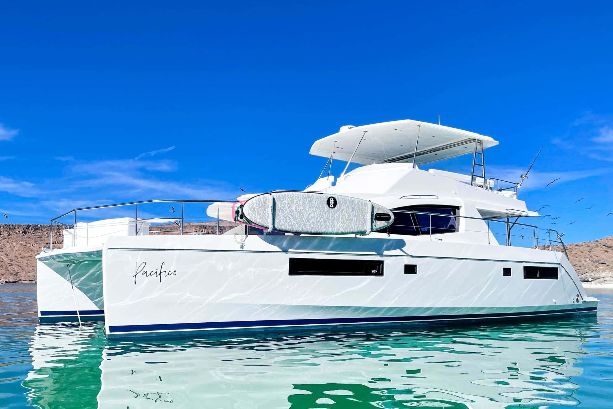
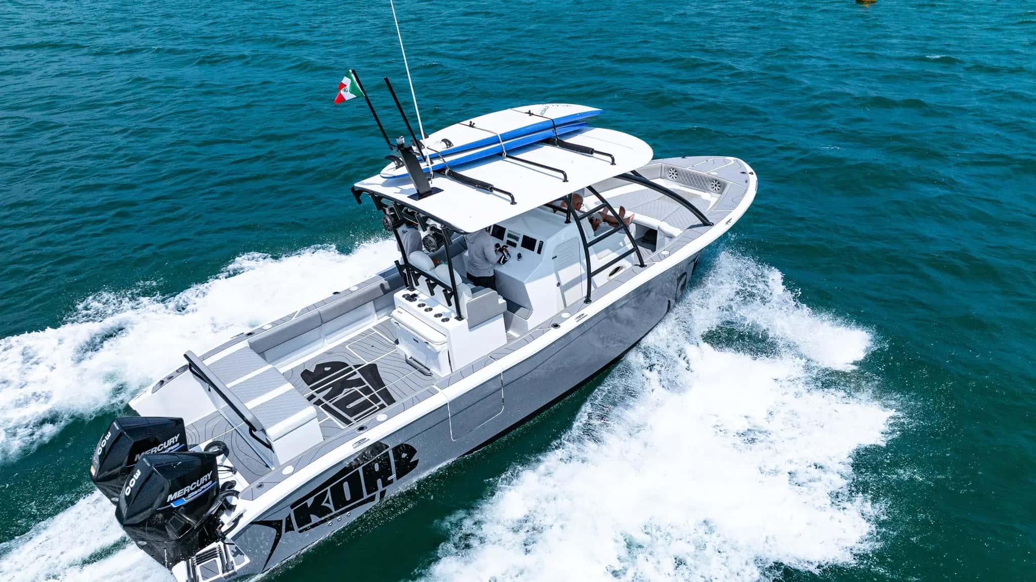
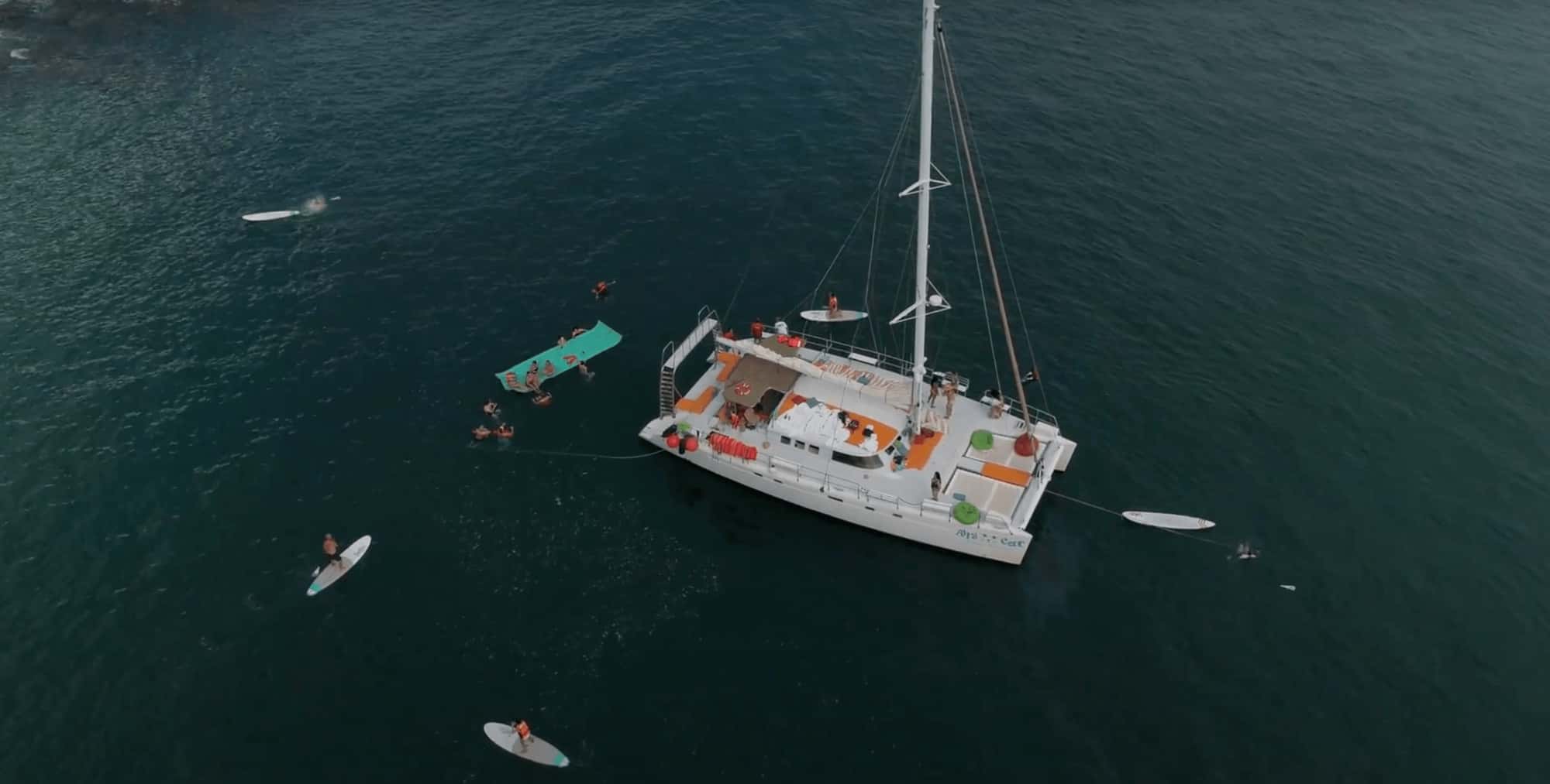
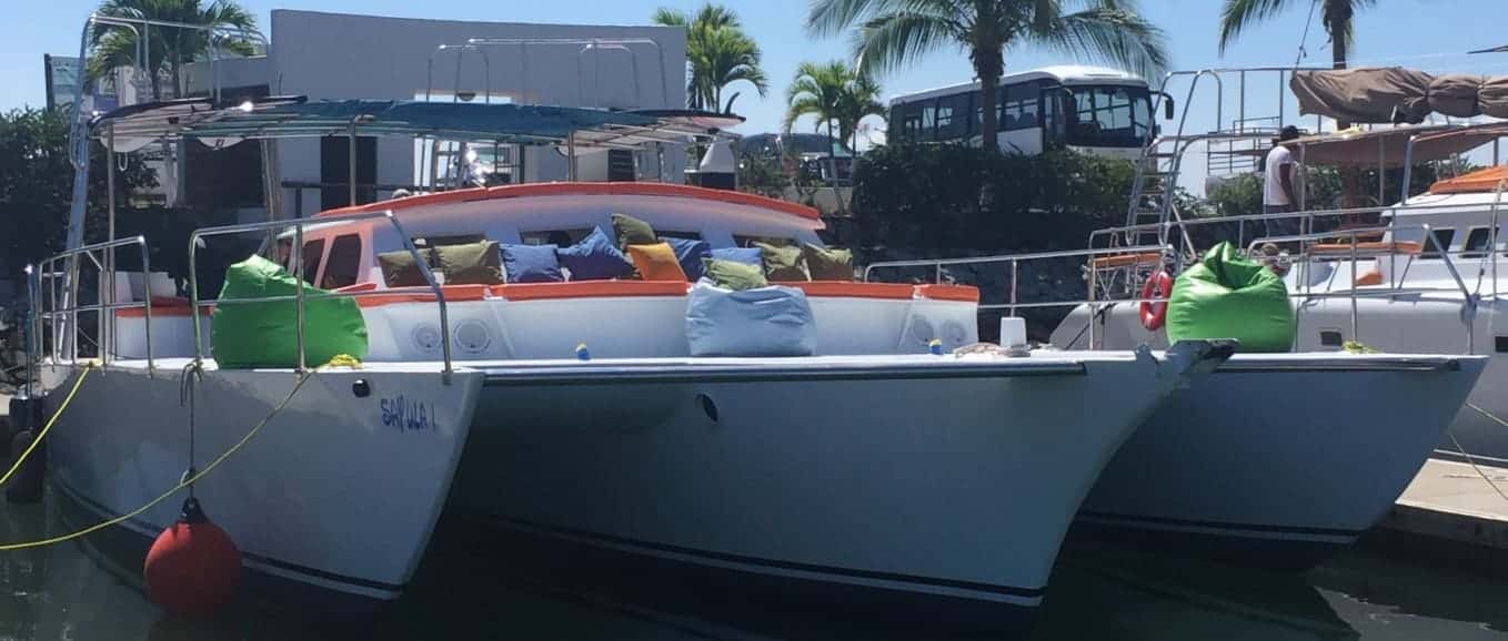
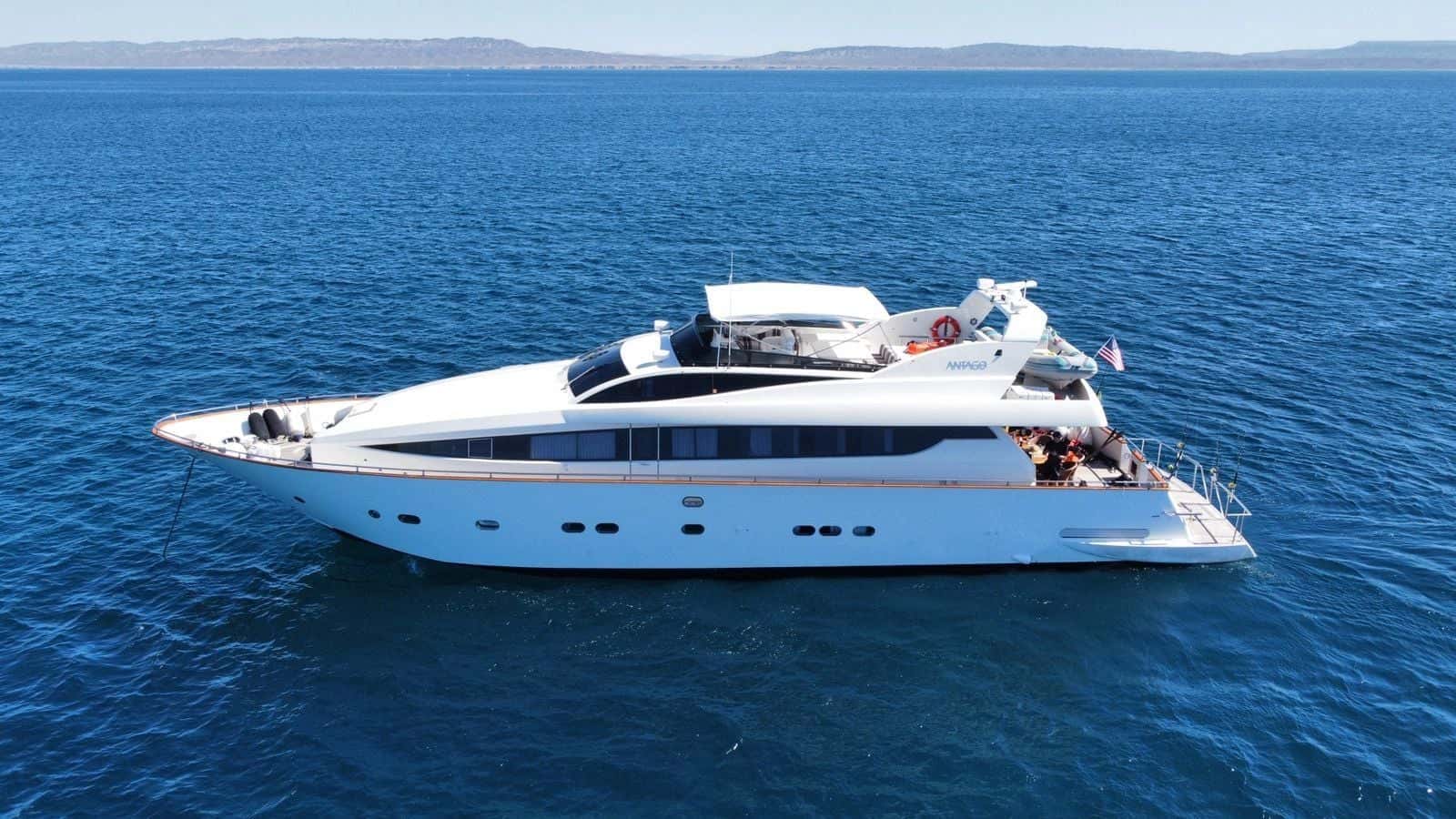
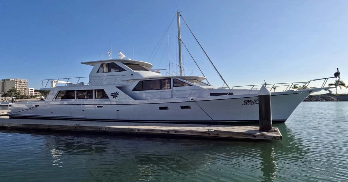
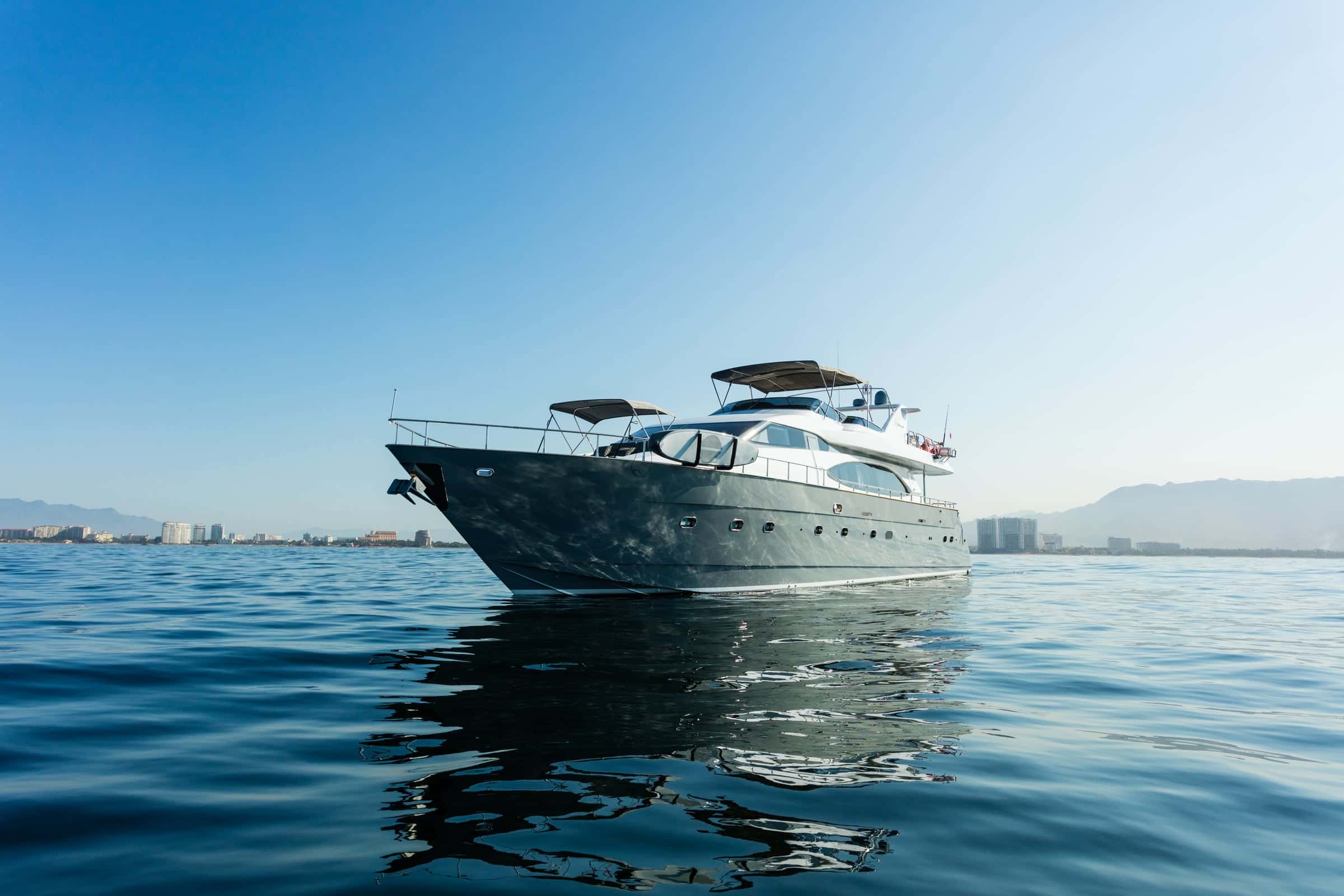
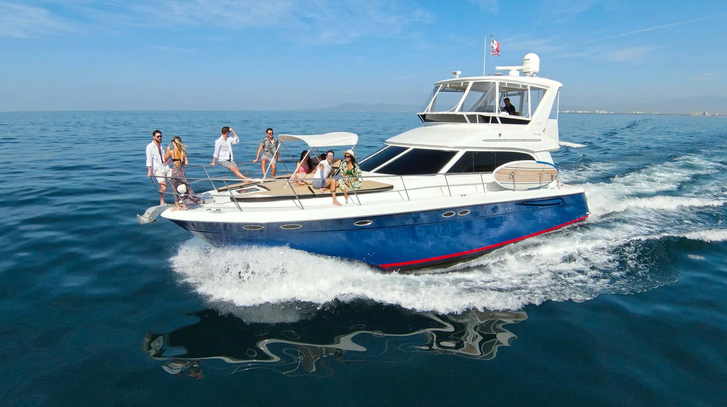
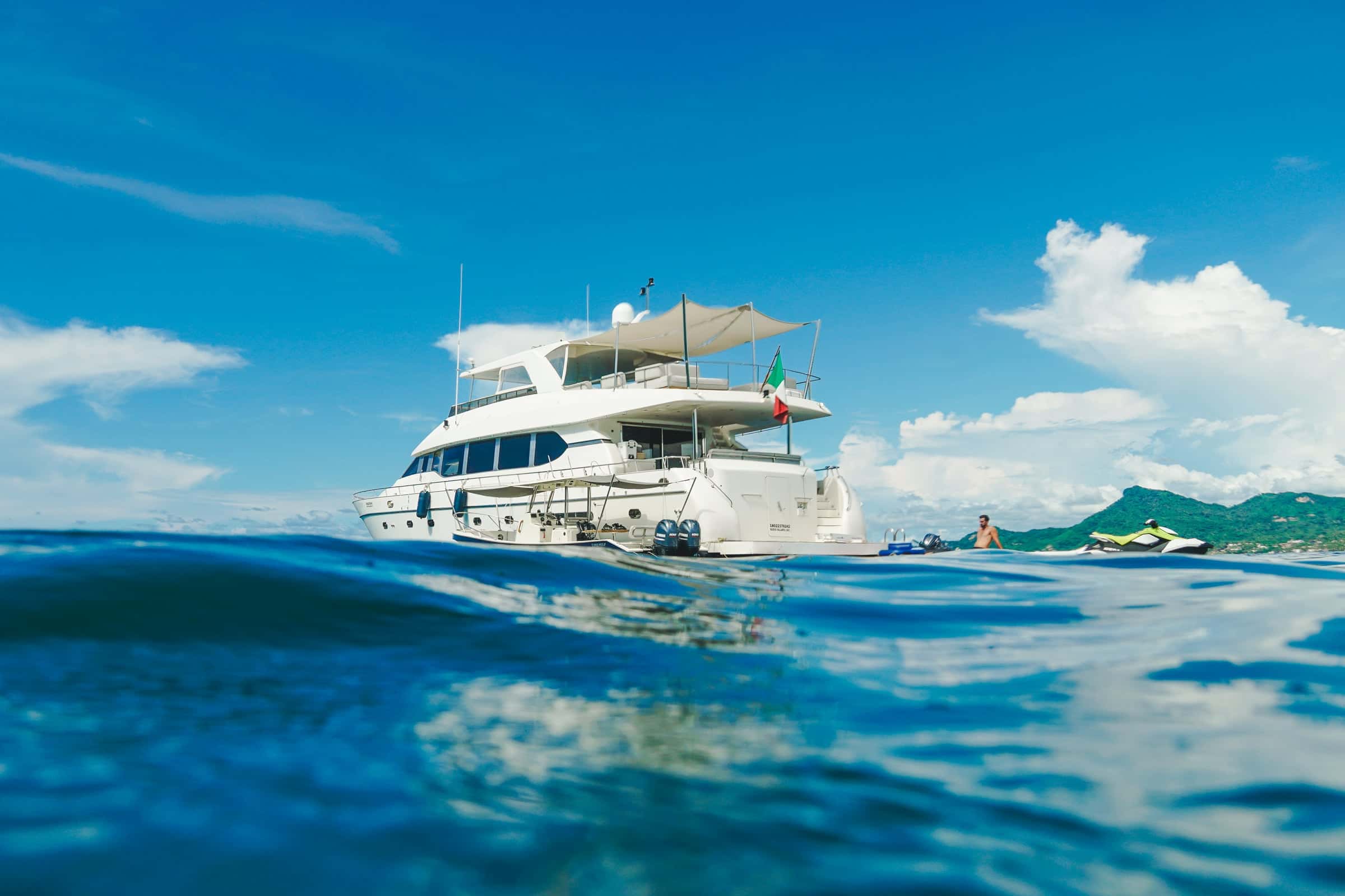
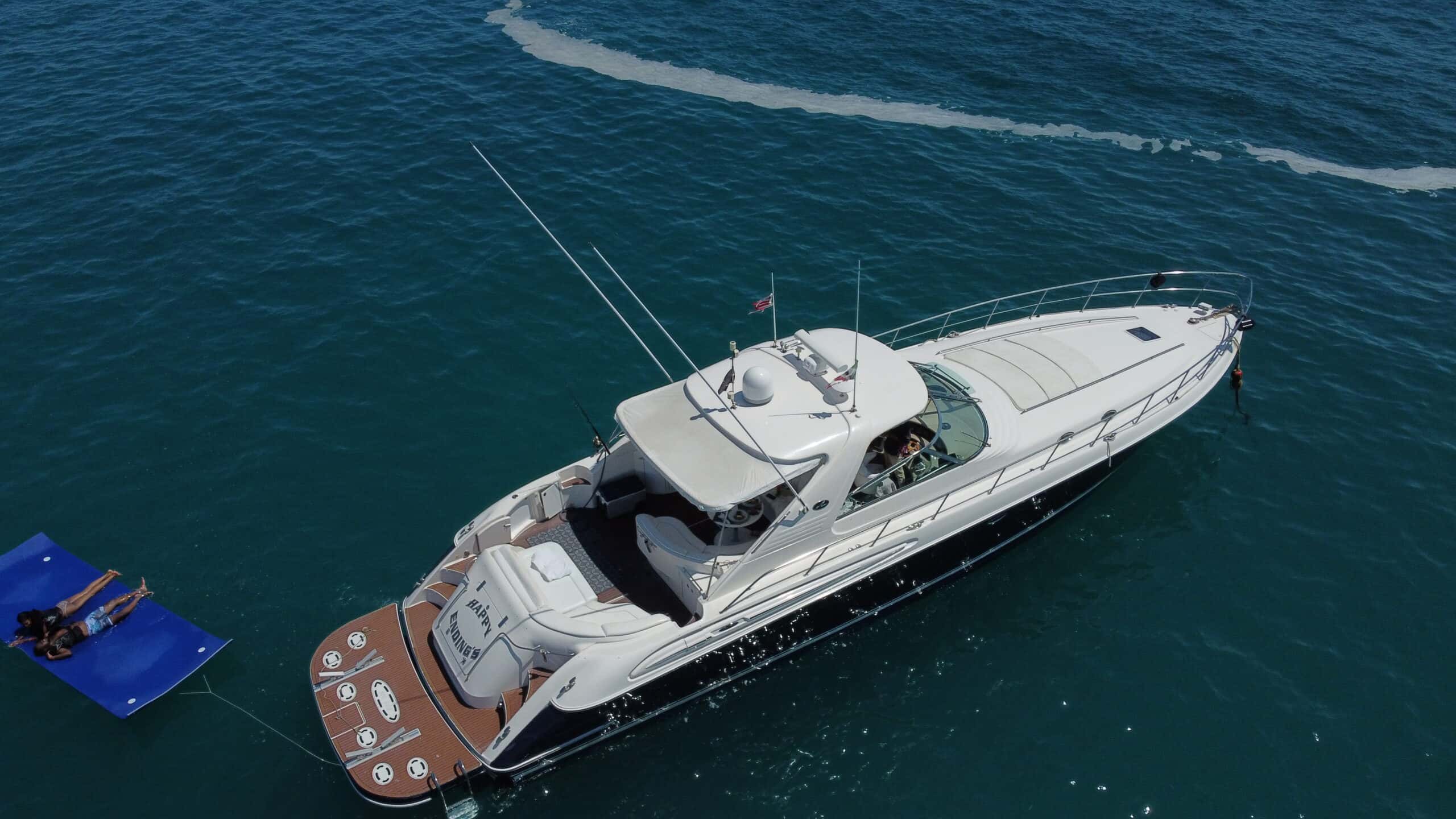
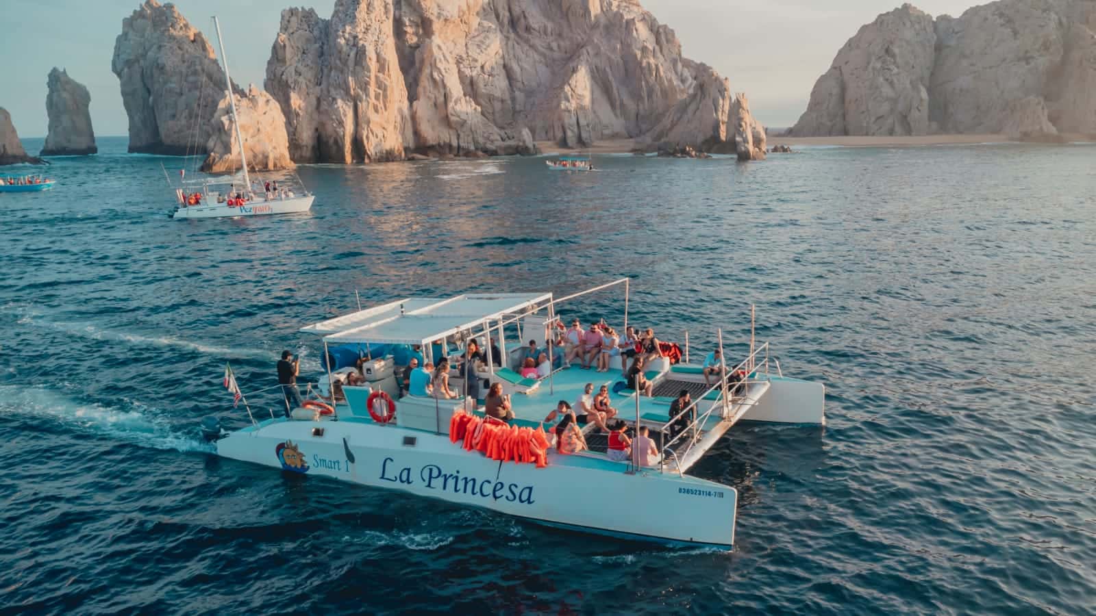
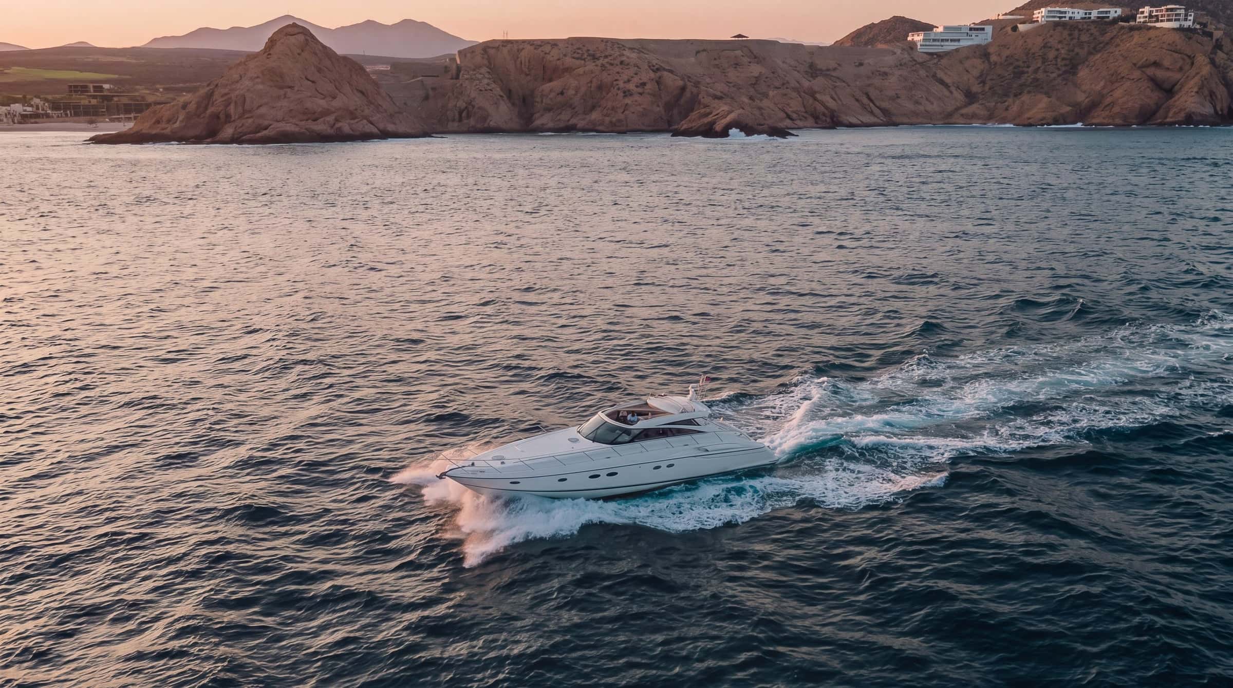
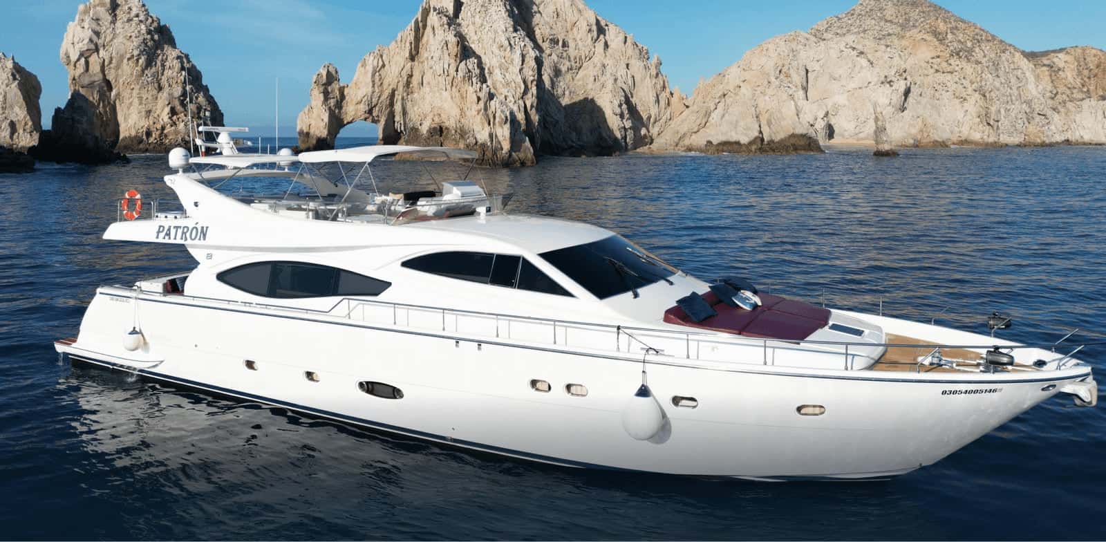
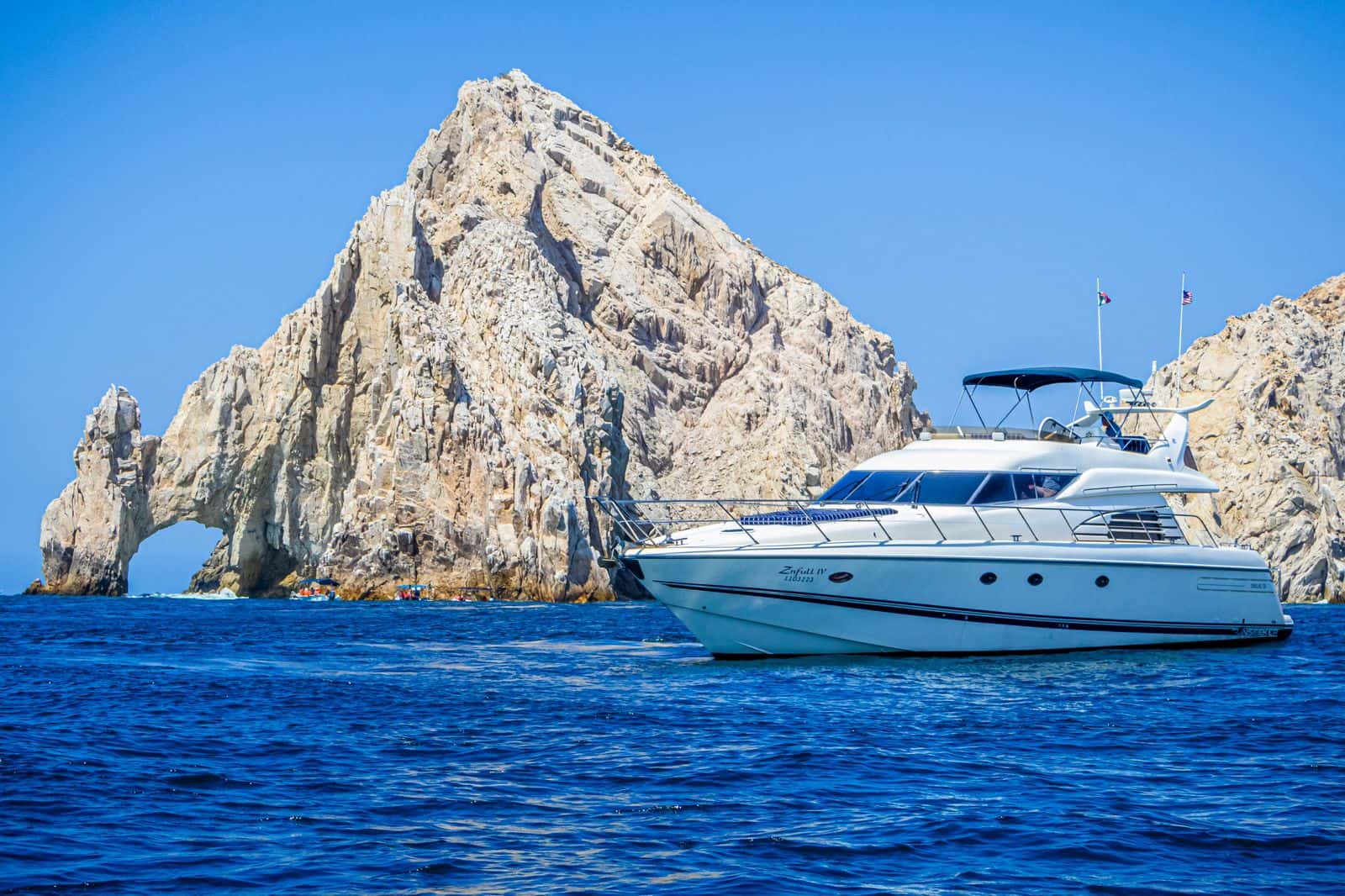
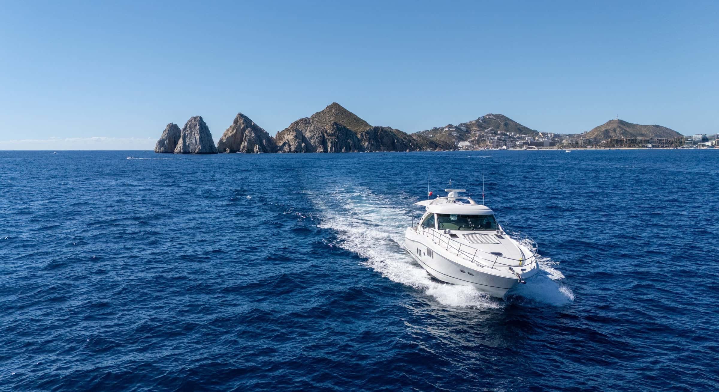
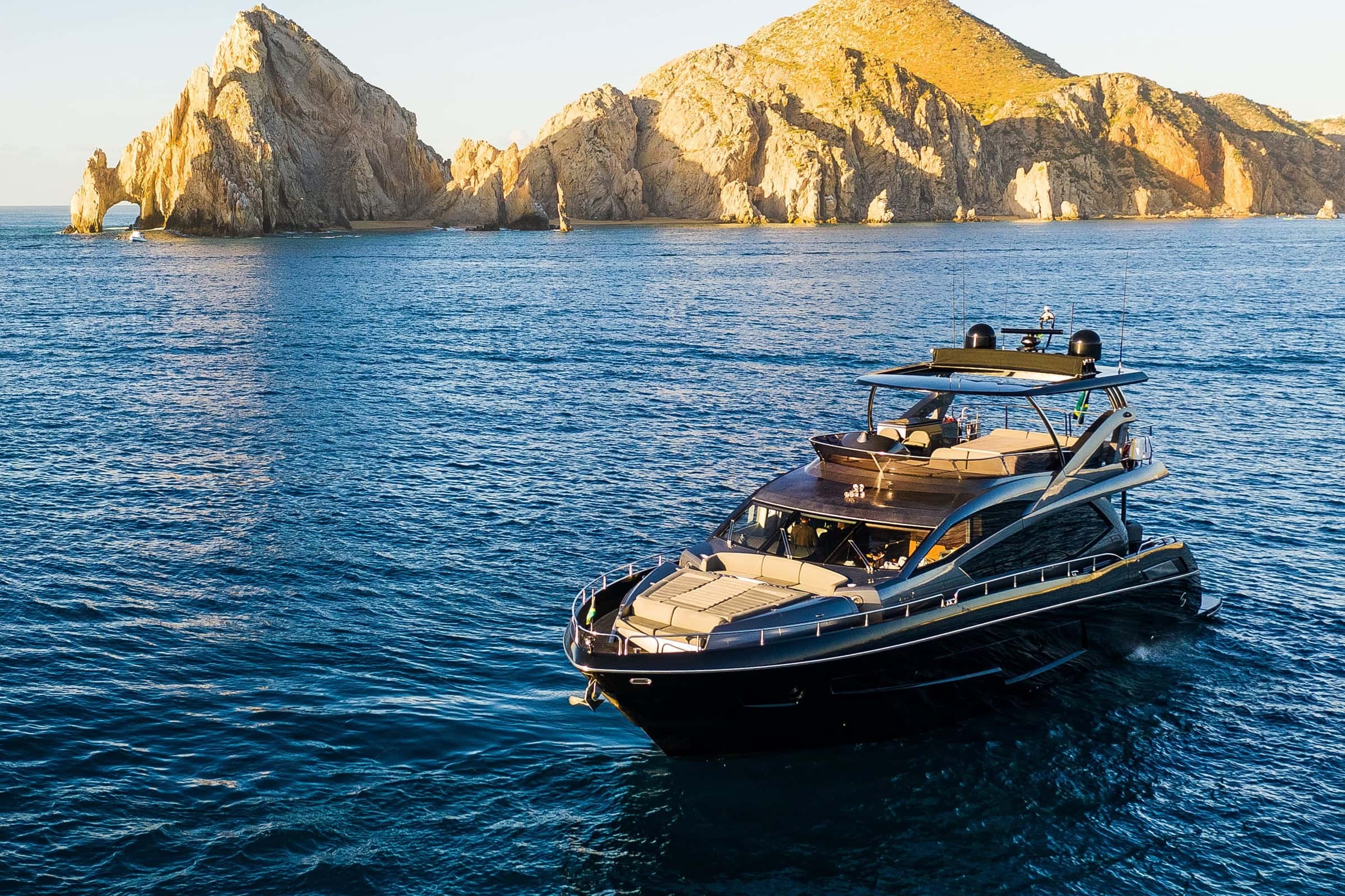
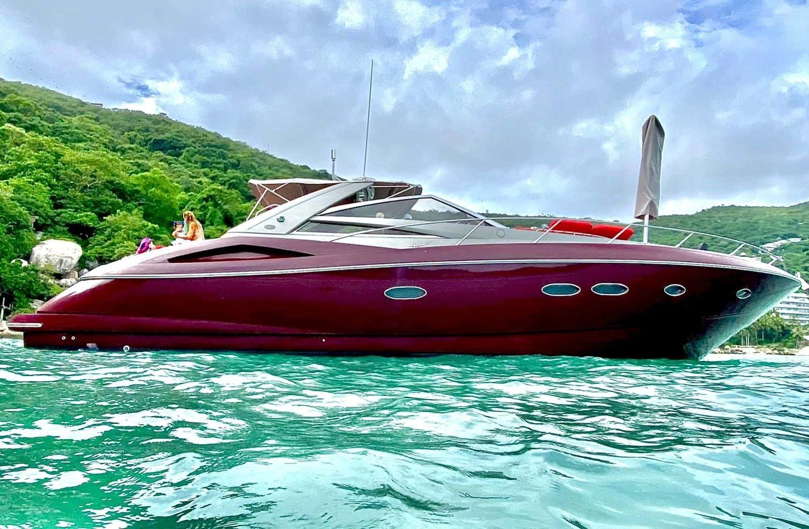
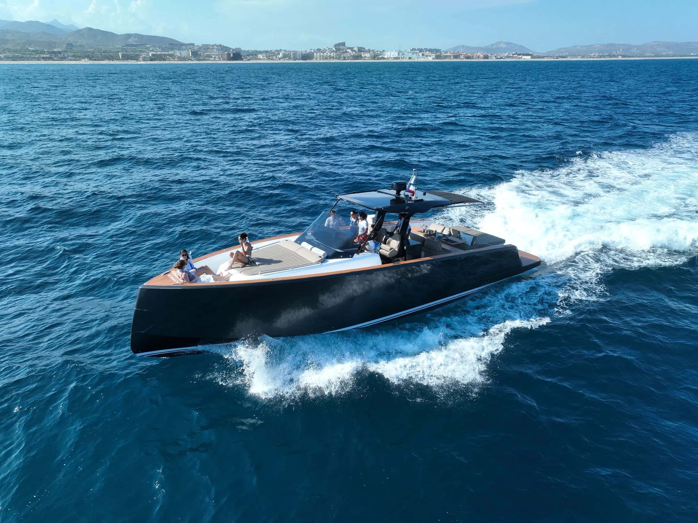
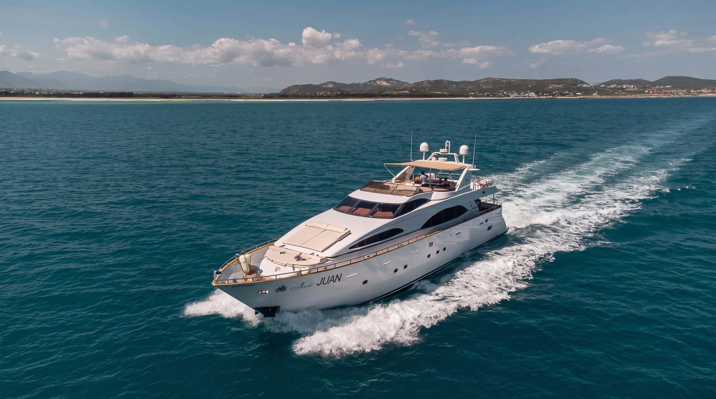
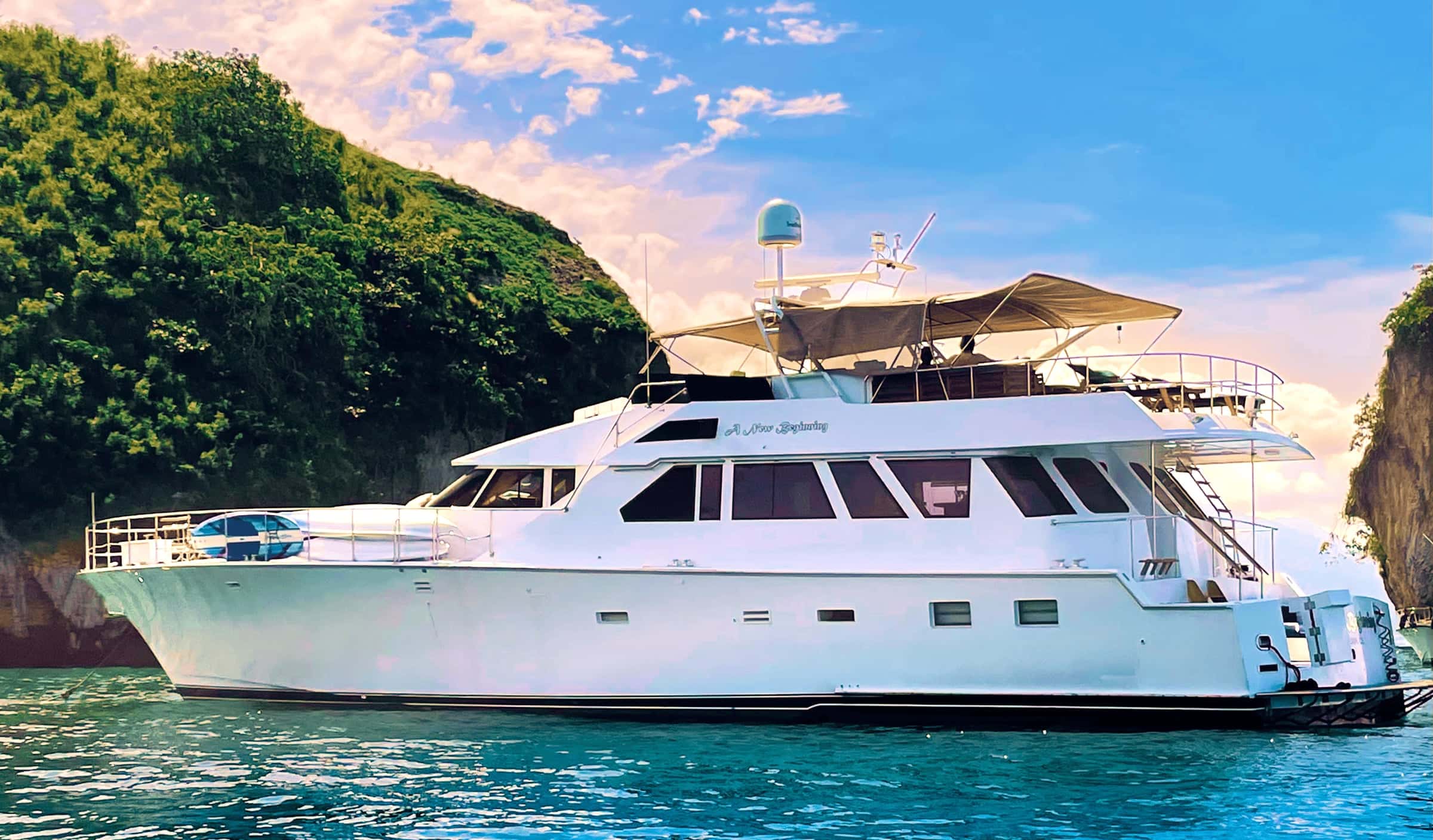
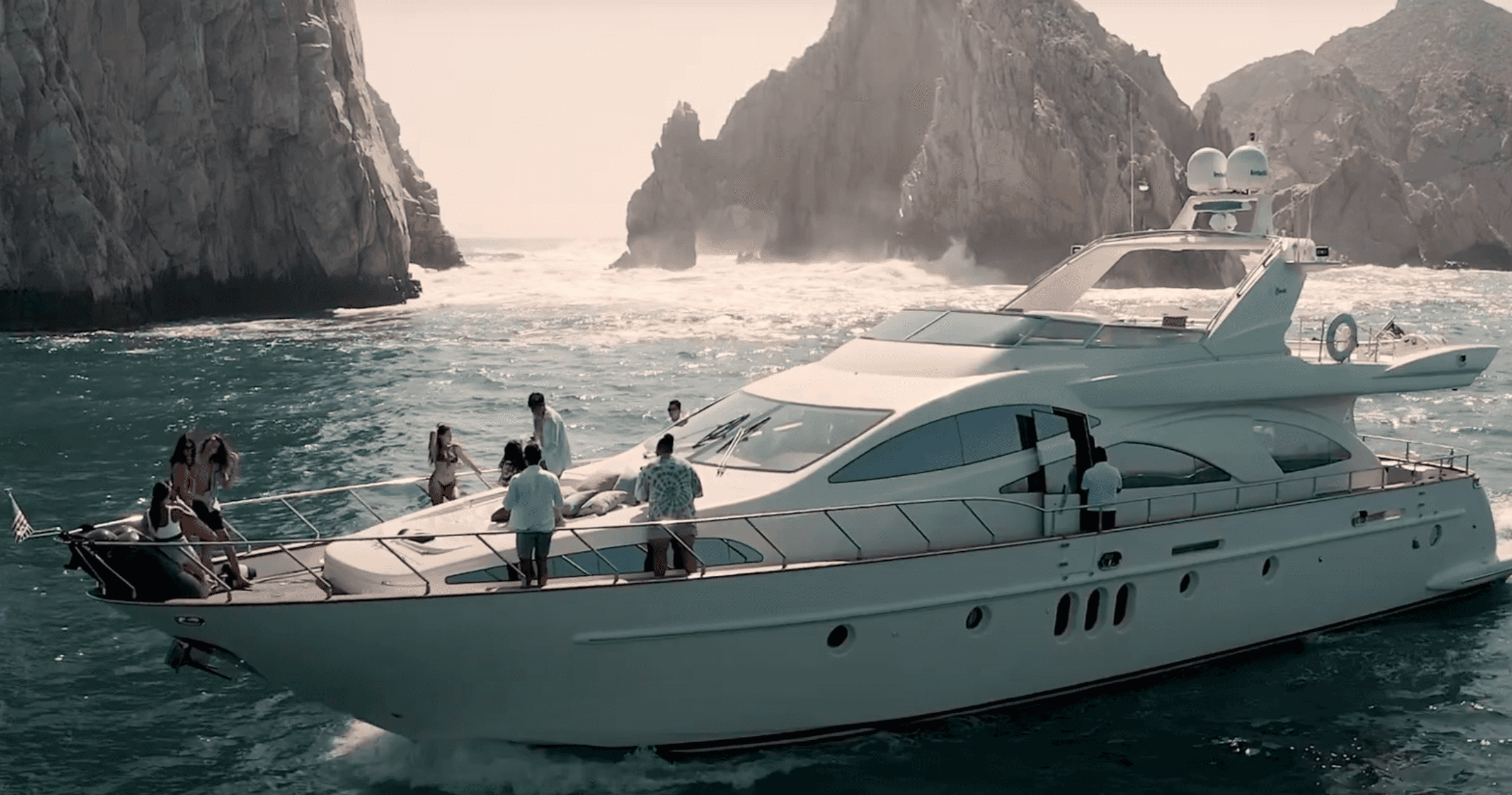
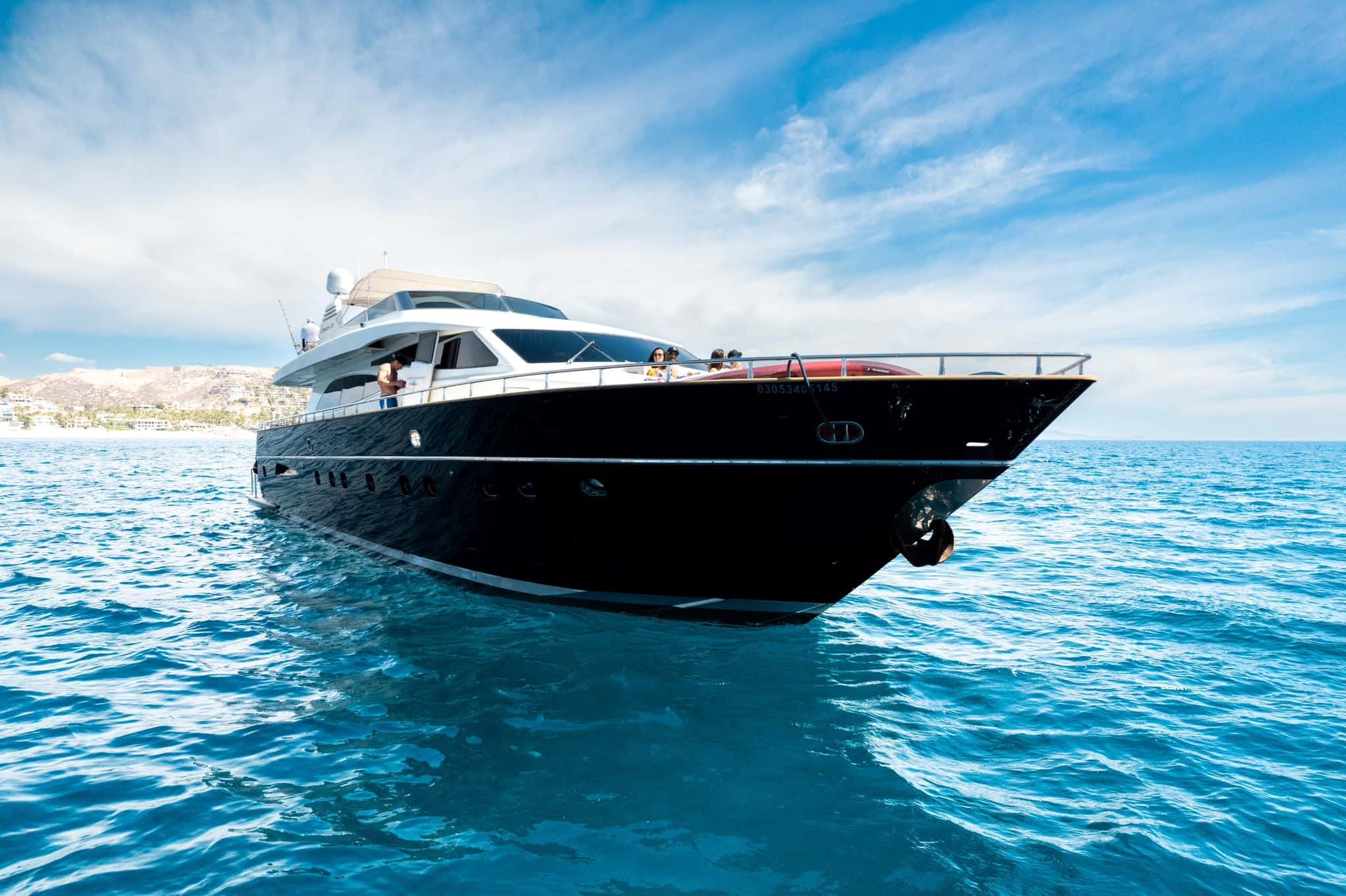
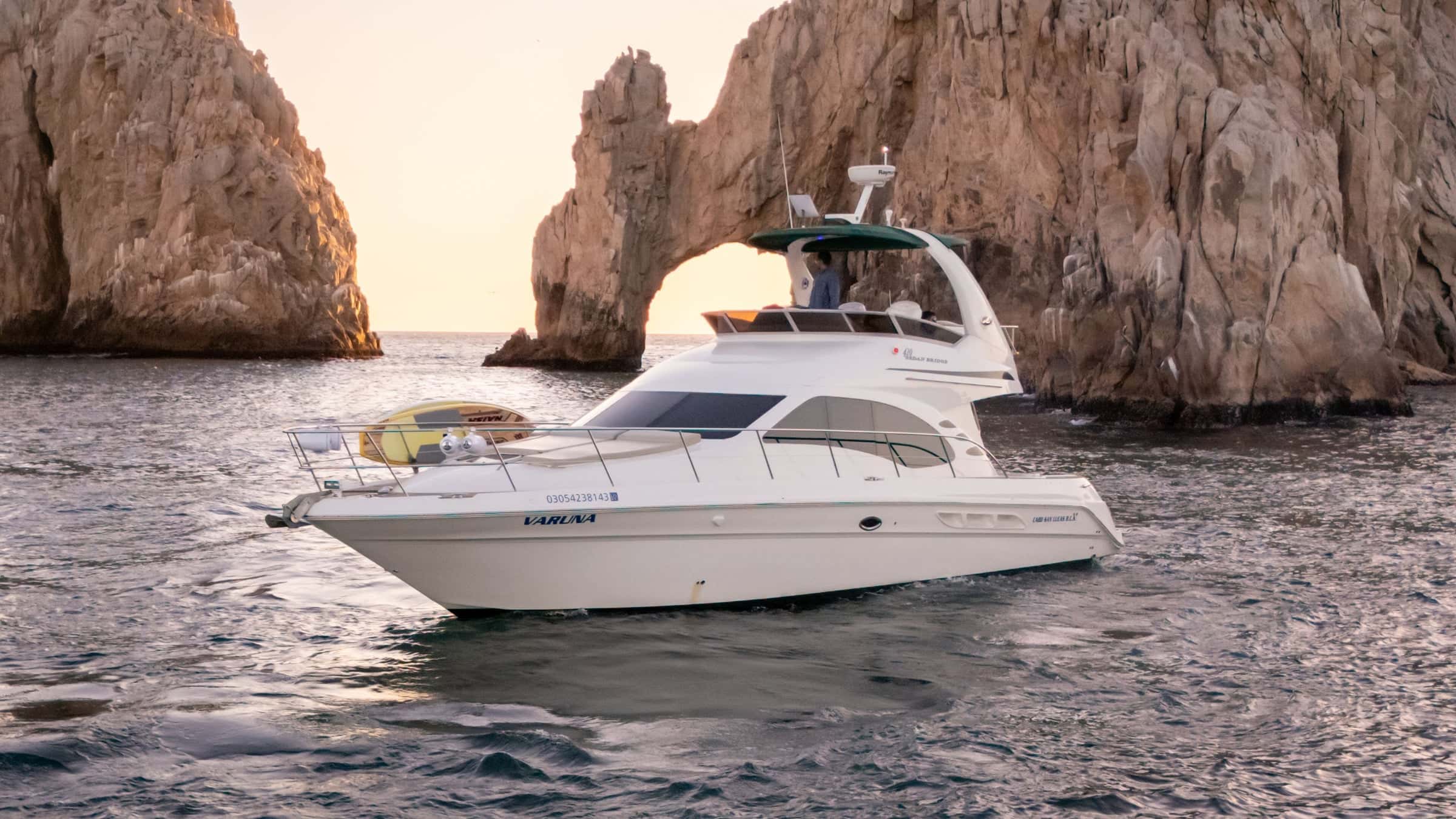
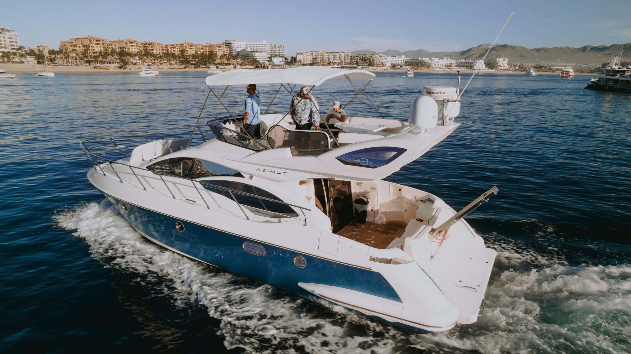
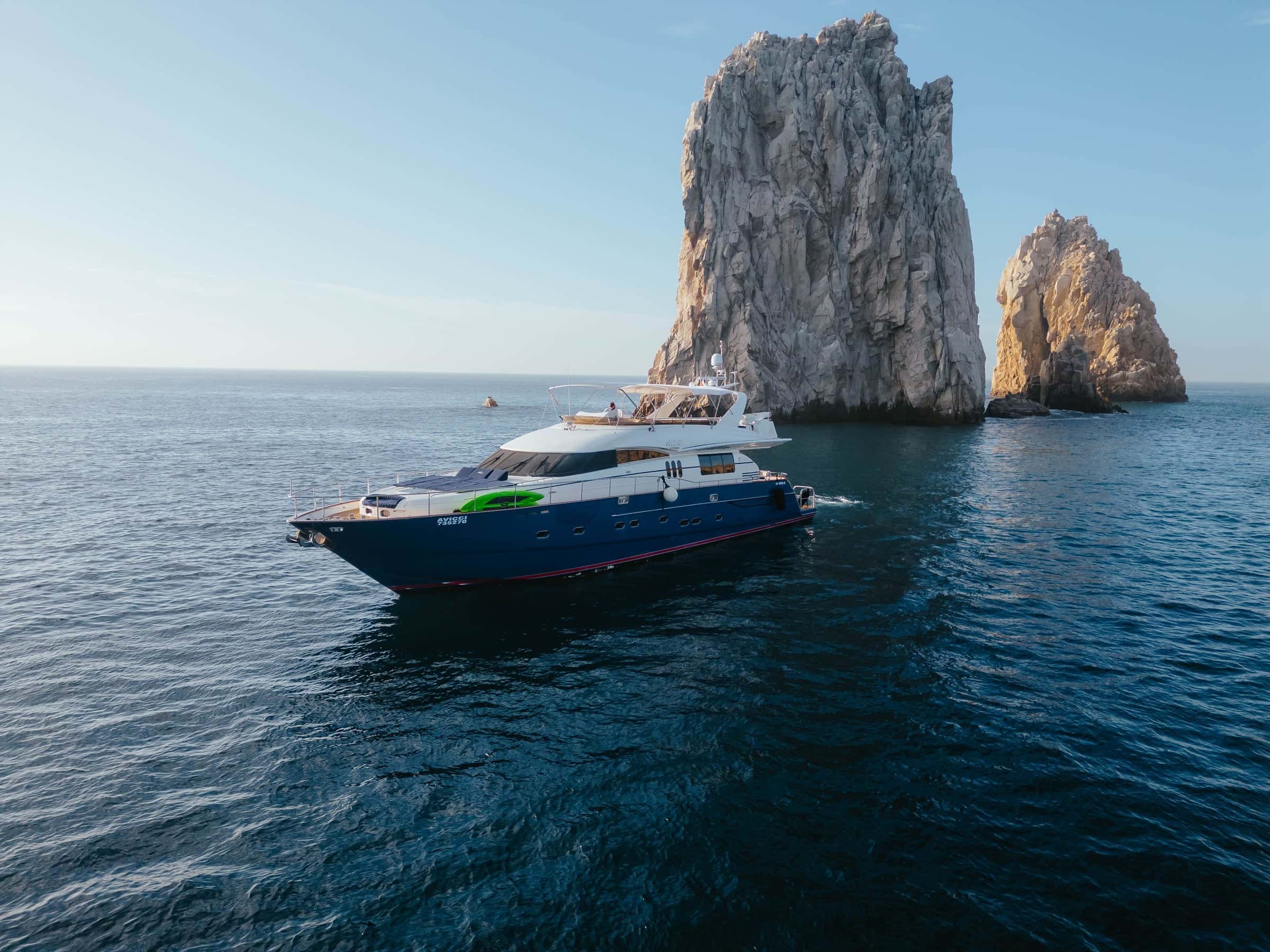
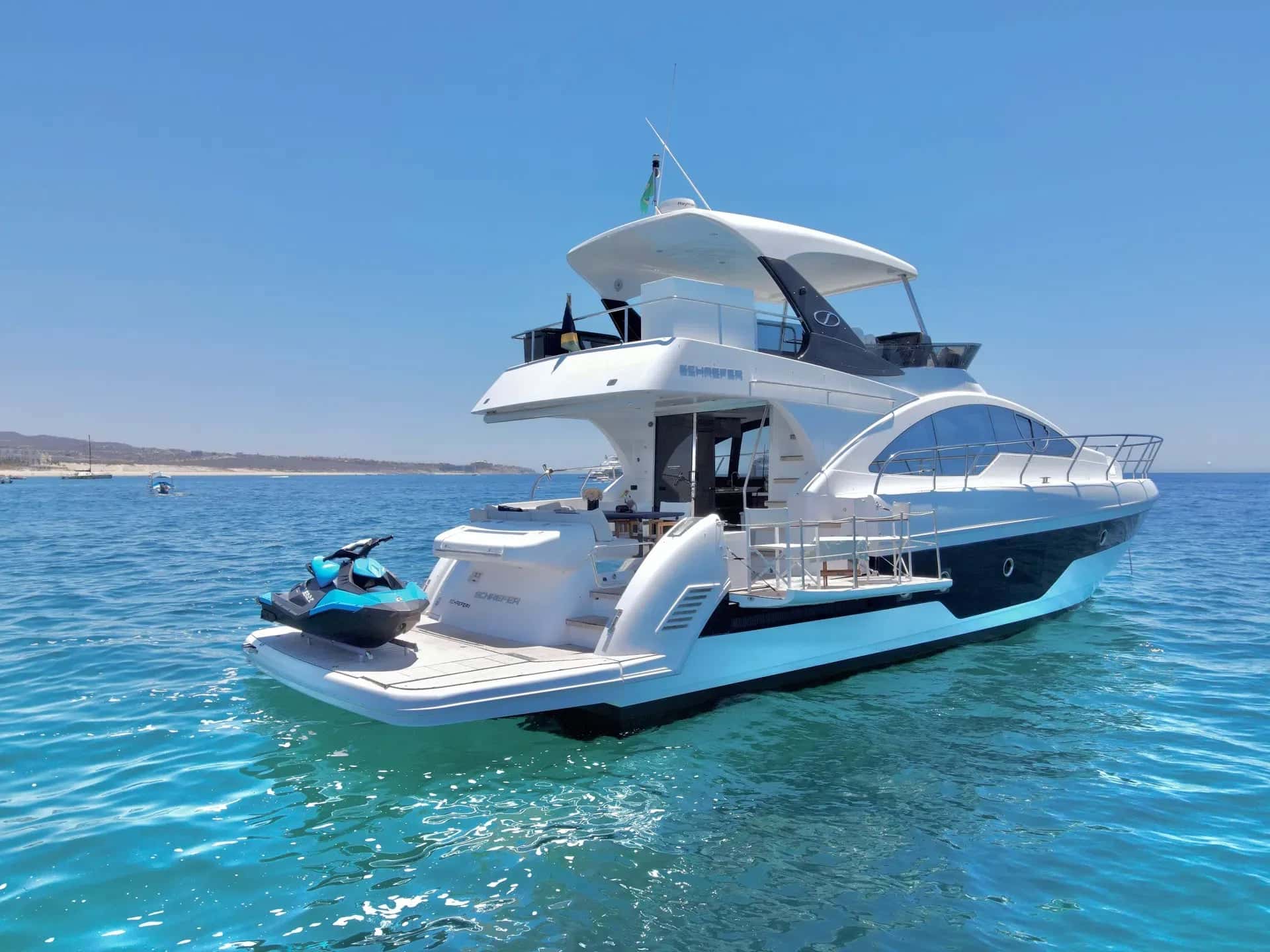
Yachts that sail the Pacific Ocean
Regions on the Pacific Ocean
Pacific Baja Sur
The Pacific coast of Baja California Sur, where the surf village of San Juanico sits on its bay.
Loreto
Banderas Bay
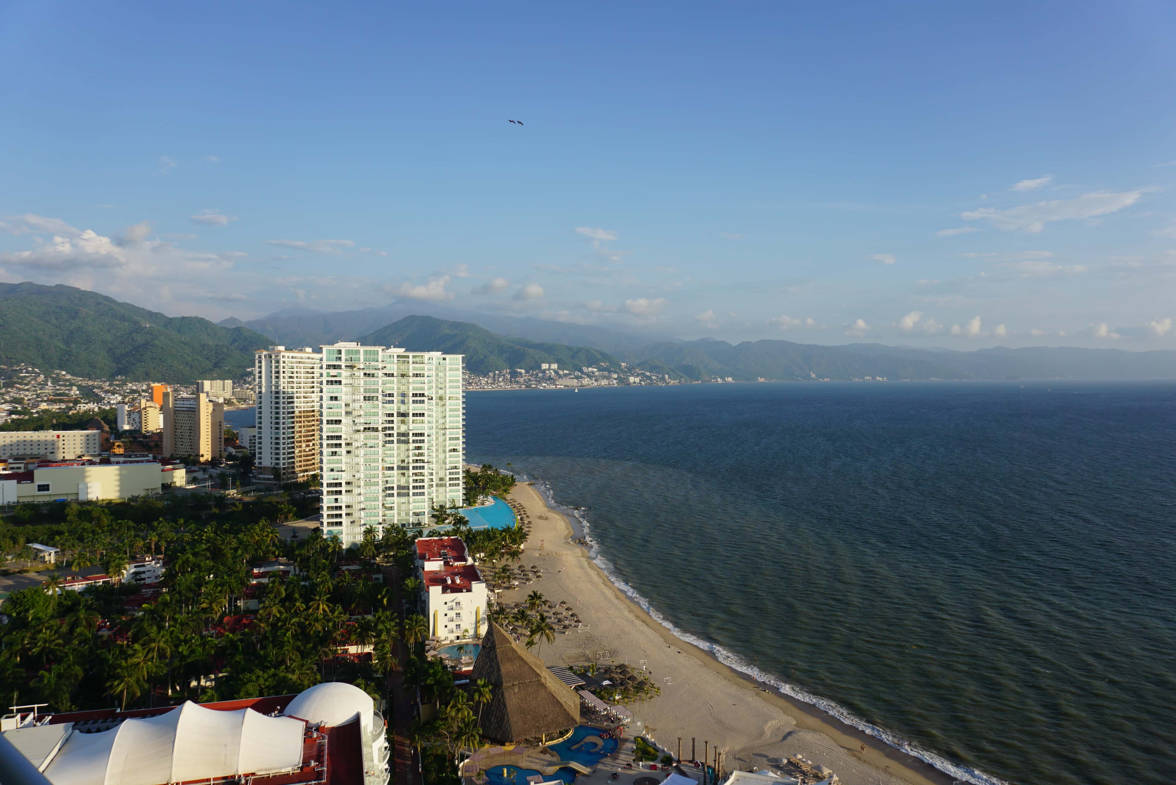
A Pacific bay closed by Punta Mita to the north and Cabo Corrientes to the south, with Puerto Vallarta on its shore. A day on the water here can be a sheltered cove, an island park, a dive or a run to fishing grounds well offshore.
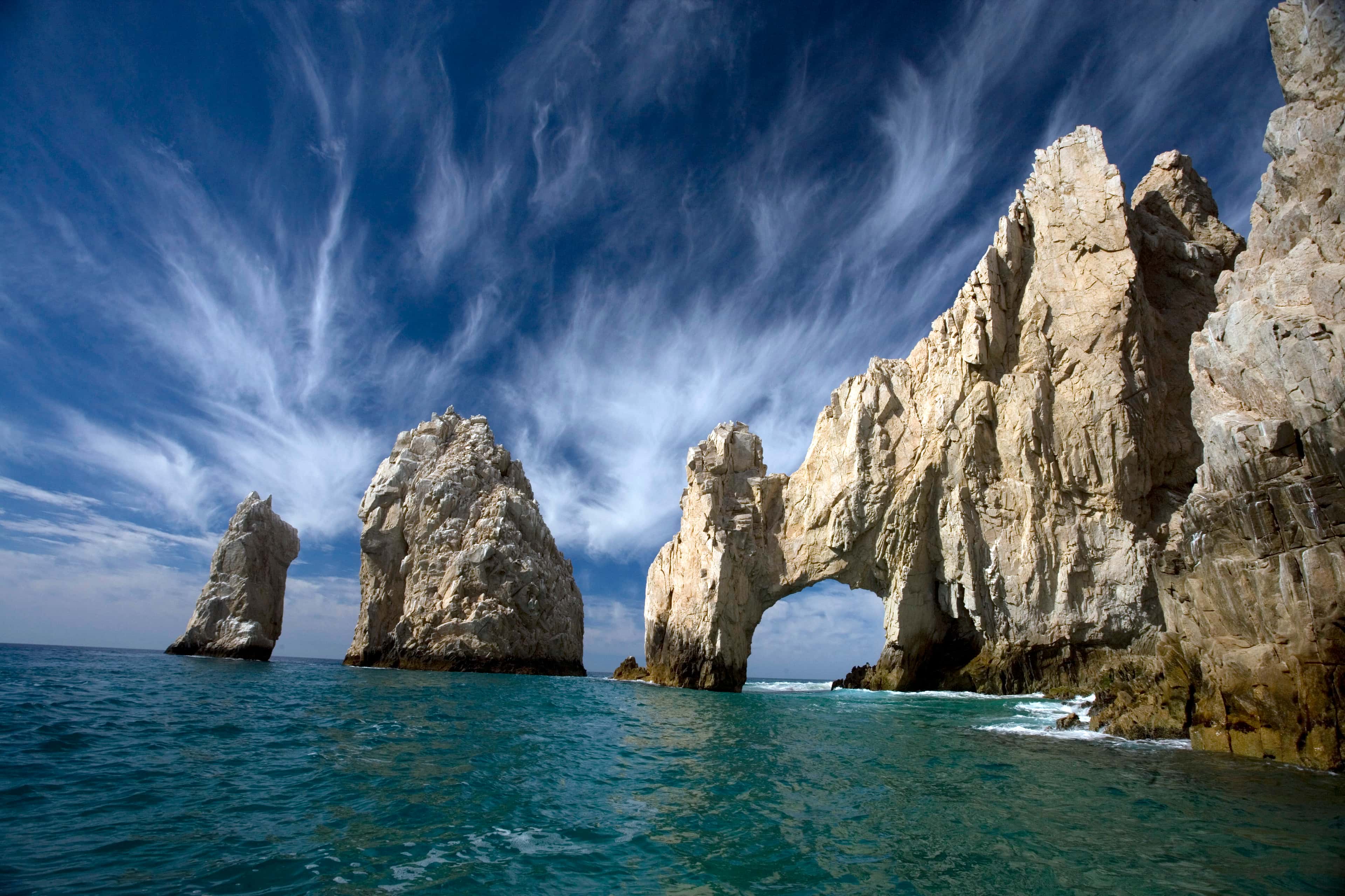
Los Cabos
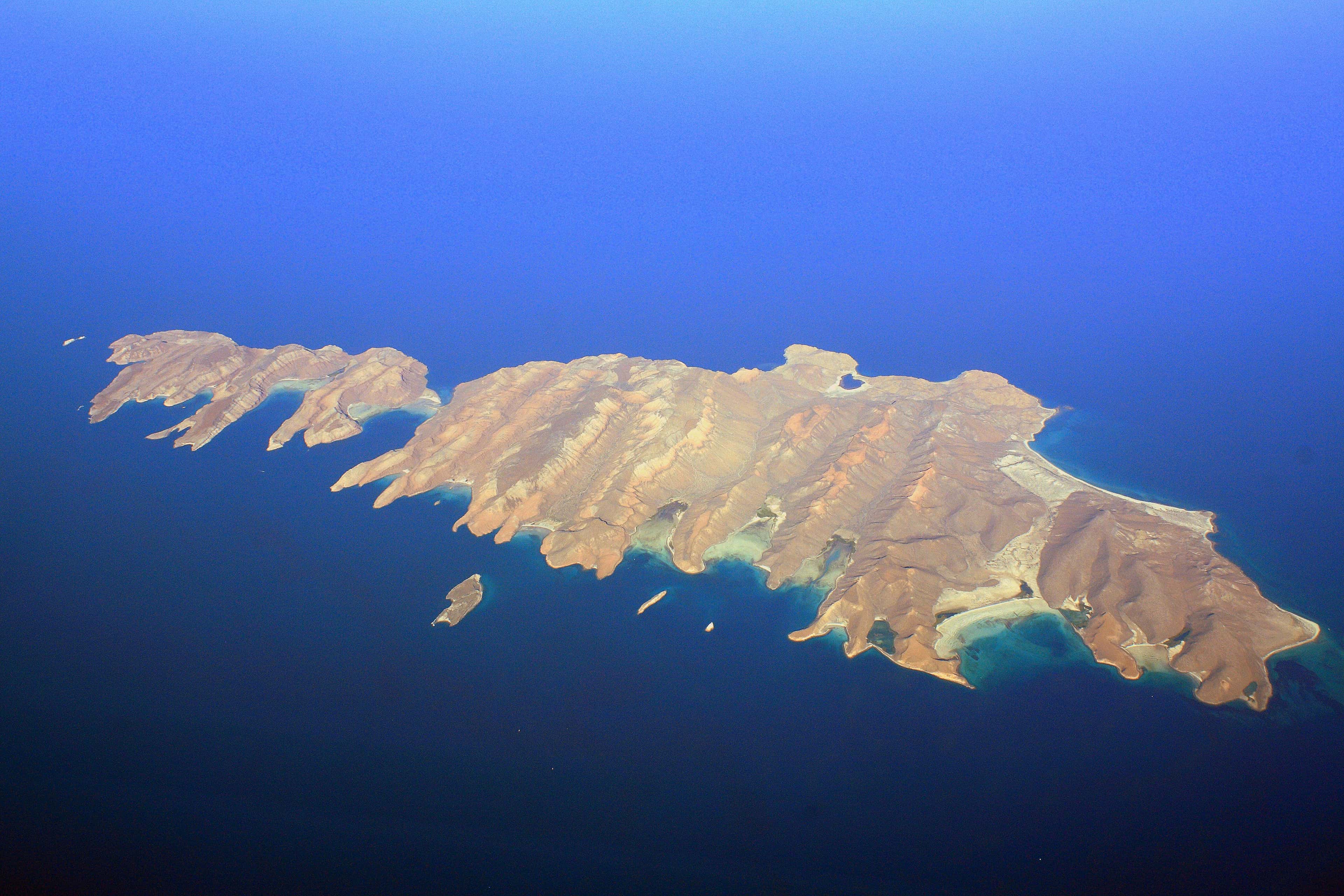
La Paz
Places in the Pacific Ocean
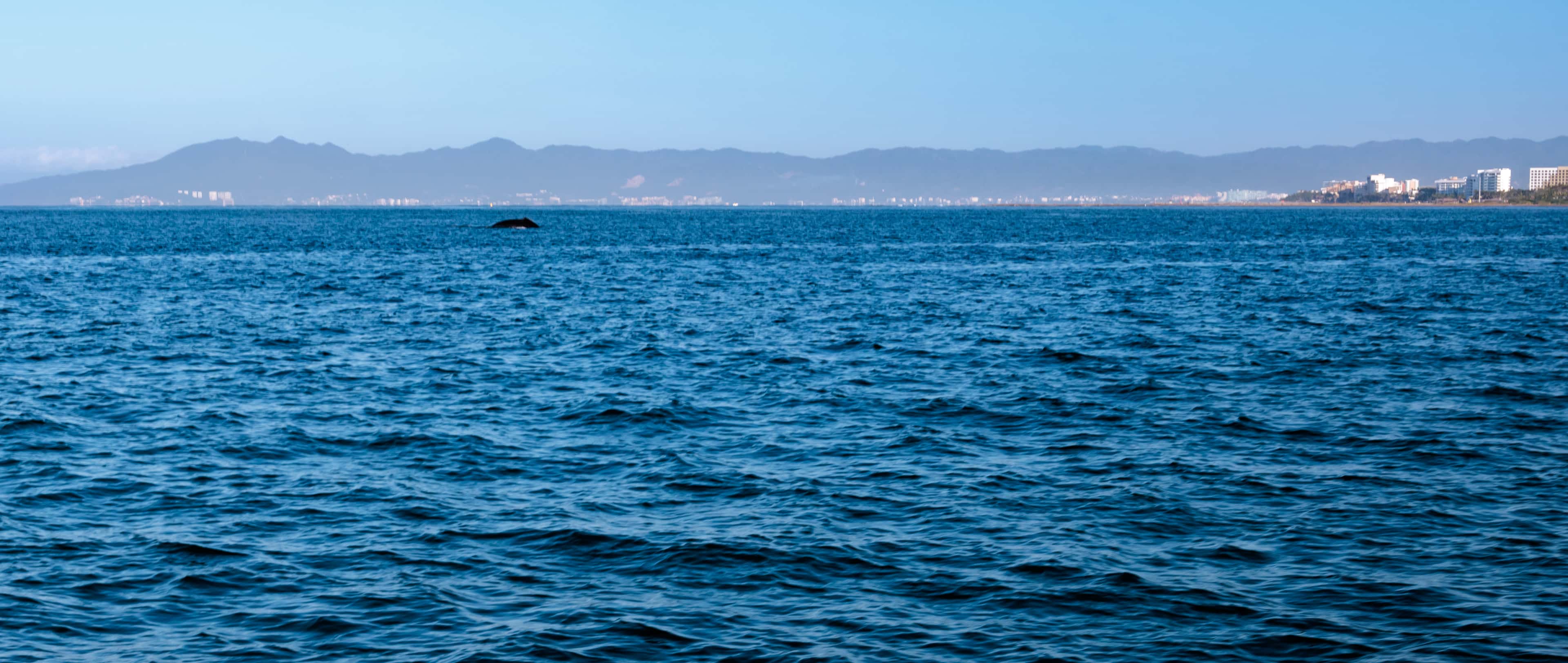
- Whale watching
Banderas Bay Whale Grounds
The open water of Banderas Bay, where humpback whales spend the winter, a short run from Puerto Vallarta, Nuevo Vallarta and La Cruz. It is an area, not a spot: the whales move every day, and a sighting is never certain.
La Paz Bay
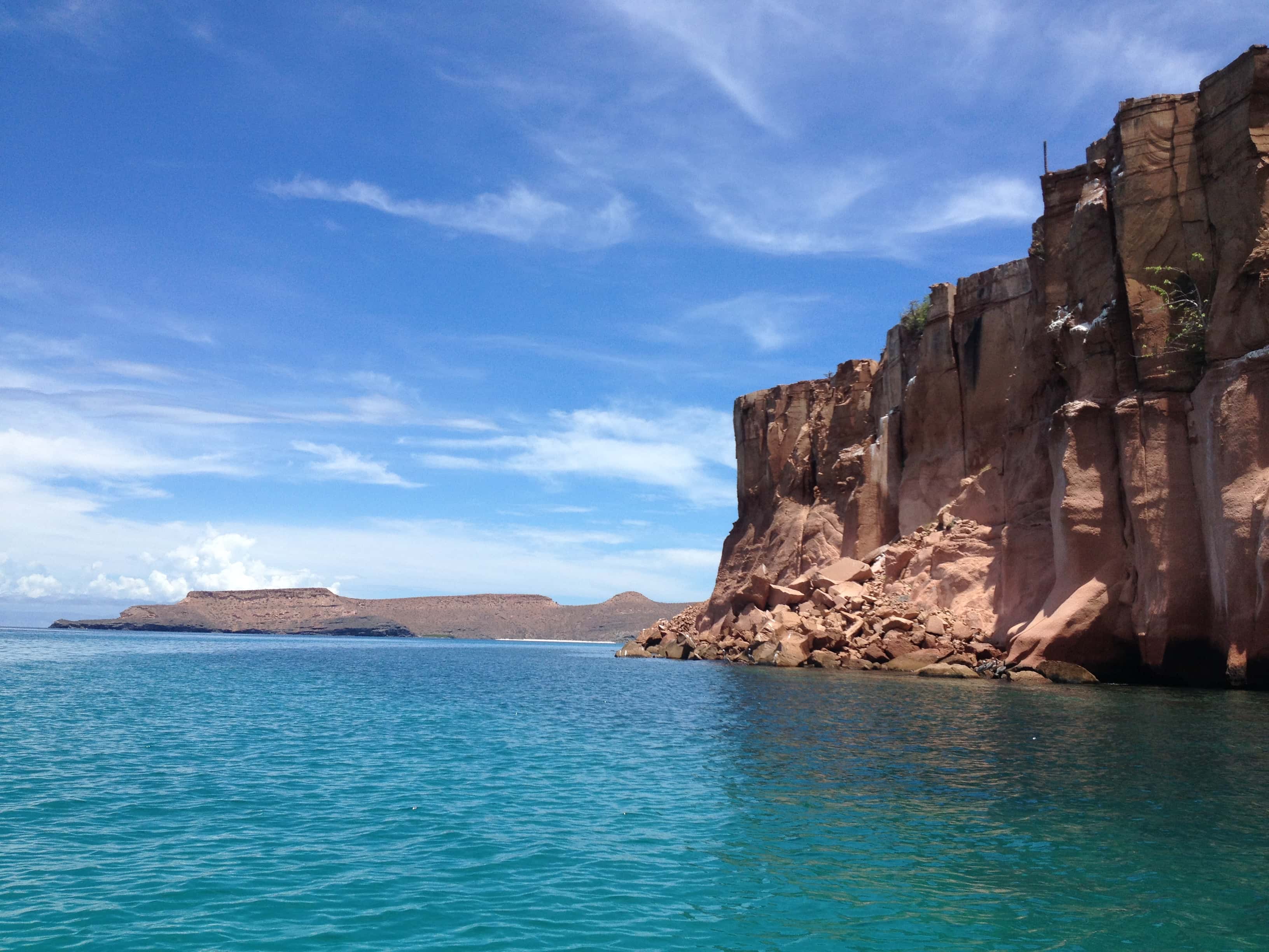
The largest bay on the east coast of Baja California, opening east onto the Sea of Cortez. Isla Espíritu Santo and Isla Partida lie across its mouth, and the port of La Paz sits at its southern end, behind the sand spit of El Mogote.
Isla María Cleofas
The southernmost of the four Islas Marías. It is part of the biosphere reserve and closed to visitors: of the four islands, only María Madre may be visited.
Isla María Madre
The largest of the Islas Marías, and the only one of the four that visitors may land on. Visits are run by the Mexican Navy, on its ships from Mazatlán or San Blas, and stay at Puerto Balleto from Friday to Sunday.
Isla María Magdalena
The second-largest of the Islas Marías, south-east of María Madre. It is part of the biosphere reserve and closed to visitors: of the four islands, only María Madre may be visited.
Isla San Juanito
The smallest of the four Islas Marías, off the north-west end of María Madre. It is part of the biosphere reserve and closed to visitors: of the four islands, only María Madre may be visited.
Gulf of Tehuantepec
A wide gulf of the Pacific off southeastern Mexico, between Oaxaca and Chiapas, from Puerto Ángel in the west to the mouth of the Suchiate River in the east. Boca del Cielo lies on its shore. From November to February a strong wind from the Gulf of Mexico, the Tehuano, blows out across it.
Islas Marías
An archipelago in the Pacific some 100 km off the coast of Nayarit: four islands and a few large rocks, a biosphere reserve since 2000. A federal prison until 2019, the islands now take visitors on María Madre alone, on trips the Mexican Navy runs.
Sea of Cortez
The arm of the Pacific between the Baja California peninsula and the Mexican mainland, also called the Gulf of California. It runs some 1,126 km from north to south and is 48 to 241 km wide, and parts of it are a UNESCO World Heritage Site.
Isla Jacques Cousteau
An uninhabited island about 29 km long, some 65 km east of La Paz across the Cerralvo Channel from La Ventana and El Sargento. It was Isla Cerralvo until 2009, when Mexico renamed it for Jacques Cousteau, and on the coast it is still called Cerralvo.
Isla San José
A volcanic island in the Sea of Cortez, some 60 km north of La Paz and the sixth-largest island in Mexico. It is about 30 km long, with a peak of 633 m near its middle.
Banderas Bay
The Pacific bay itself, closed by Punta Mita to the north and Cabo Corrientes to the south, with Puerto Vallarta on its shore. Its islands, rocks and dive sites sit in this water.
- Fishing
Cabrillo Seamount
A seamount in deep water at the mouth of the Gulf of California, about 27 nautical miles (50 km) southeast of San José del Cabo and 37 nautical miles (68 km) east of Cabo San Lucas. Its summit is far below the surface, so the fishing there is in open water: fishing reports name it for blue marlin and for yellowfin tuna travelling with porpoise.
- Scuba diving
- Fishing
Corbeteña
A white, jagged rock that stands alone in open water about 17 nautical miles (32 km) west of Punta de Mita, outside Banderas Bay. Charts name it Roca Corbeteña and fishermen call it the Rock. It is about 26 nautical miles (48 km) from La Cruz de Huanacaxtle and 34 nautical miles (63 km) from Puerto Vallarta, with deep water and strong currents around it. It is known for yellowfin tuna, black and blue marlin, sailfish and dorado.
- Fishing
El Banco
An offshore fishing ground far beyond the mouth of Banderas Bay, reached on a full-day trip from Marina Vallarta. Anglers make the long run for marlin, sailfish, yellowfin tuna and dorado.
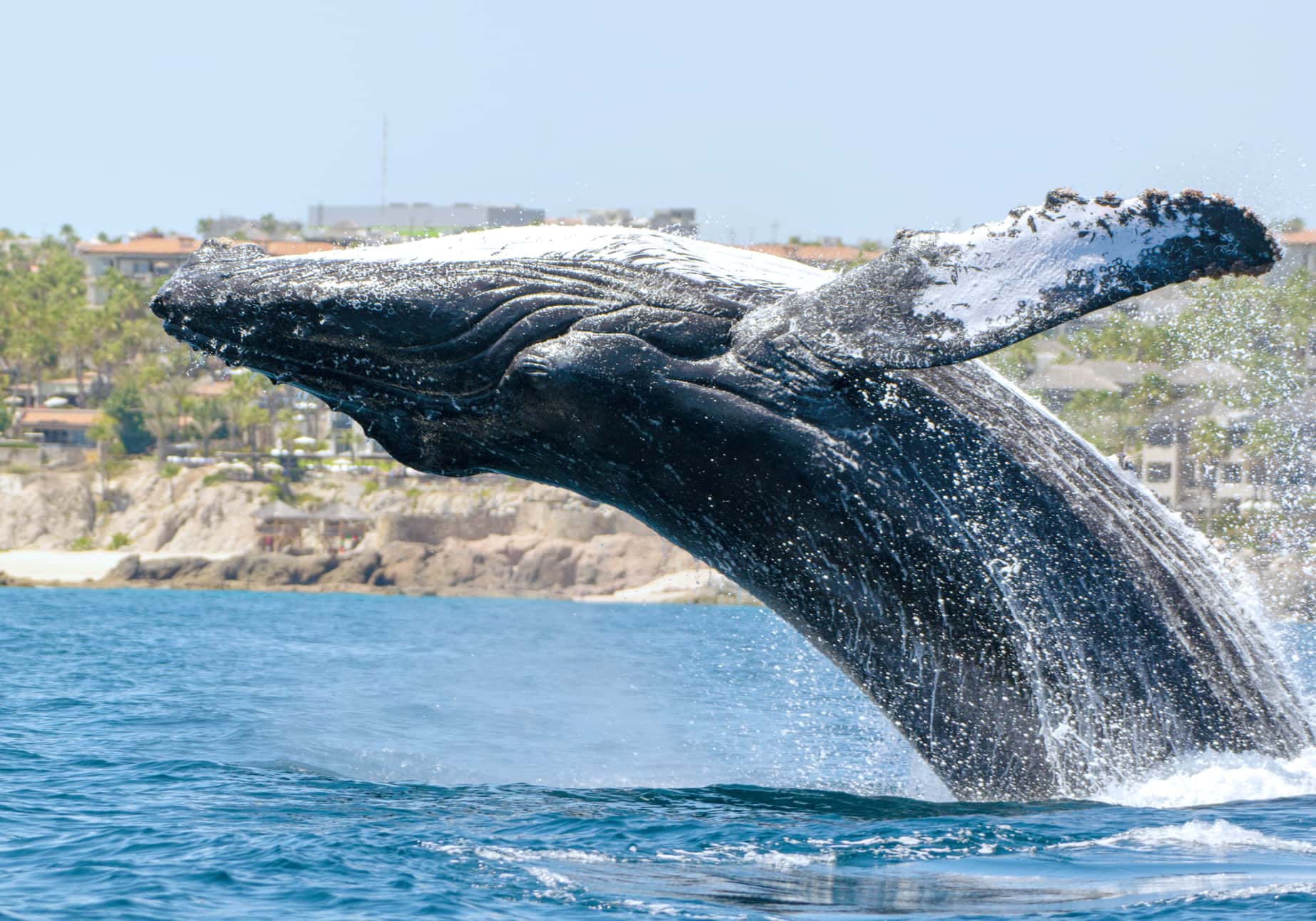
- Whale watching
Land's End Whale Grounds
Open water off Land's End where humpback and gray whales pass each winter, and where boats from Cabo San Lucas go out to look for them. It is an area, not a spot: the whales move every day, and a sighting is never certain.
Land's End (The Arch)
- Scuba diving
- Fishing
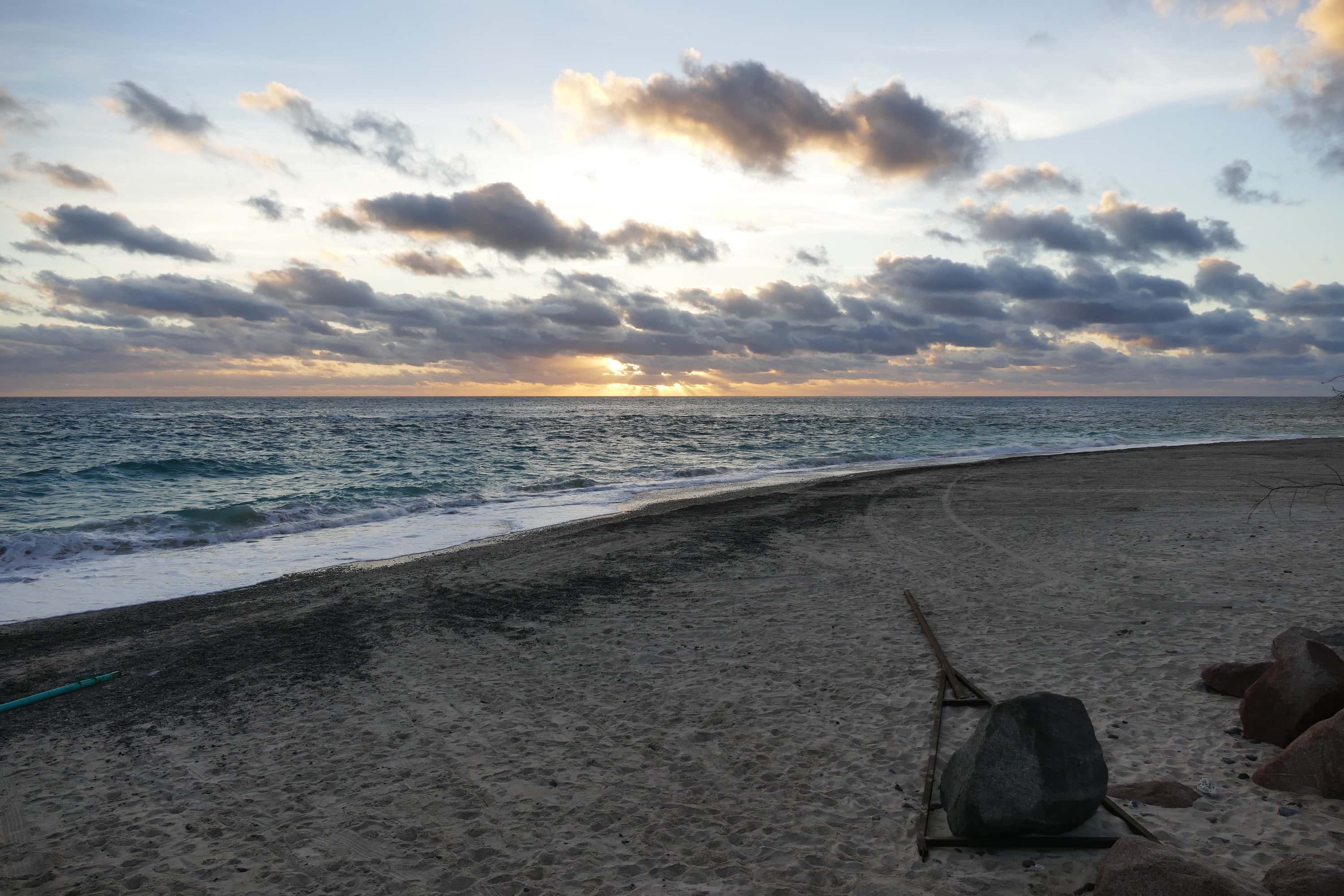
El Morro
A small rock at the northern edge of Banderas Bay, near the Marieta Islands, dived by experienced divers for the tunnel that runs through it and the manta rays that pass. Fishing boats work the water around it too.
- Snorkeling
- Scuba diving
Cabo Pulmo
A coral reef on the East Cape of Baja California Sur, inside Cabo Pulmo National Park. Divers and snorkellers come for the reef and the fish that crowd it.
- Scuba diving
El Chimo
A deep dive site on the south side of Banderas Bay, where rock columns and formations rise from the seabed. It is a dive for experienced divers, reached by boat in around an hour or a little more.
- Scuba diving
- Fishing
El Bajo (Espíritu Santo Seamount)
A seamount in the Gulf of California north of Isla Espíritu Santo, about 33 nautical miles (61 km) north of La Paz. It rises more than 890 m from the sea floor and is also called El Bajo de Espíritu Santo. Researchers have recorded striped, blue and black marlin, yellowfin tuna and dorado there, and it has been studied since the 1980s for its schools of hammerhead sharks. Sport-fishing boats run out to it for the billfish and tuna, and divers go down on it for the hammerheads.
- Fishing
Gordo Banks
Two underwater banks off San José del Cabo, charted as Banco Gorda de Adentro (the Inner Gorda Bank) and Banco Gorda de Afuera (the Outer Gorda Bank). The inner bank rises to about 15 m below the surface, about 9 nautical miles (16 km) east of the San José del Cabo marina and 23 nautical miles (43 km) from Cabo San Lucas. The outer bank lies about 3 nautical miles (5 km) farther out and is deeper, about 62 m at its shallowest. The banks are known for yellowfin tuna, wahoo and marlin, and for bottom fish such as snapper, grouper and amberjack.
- Snorkeling
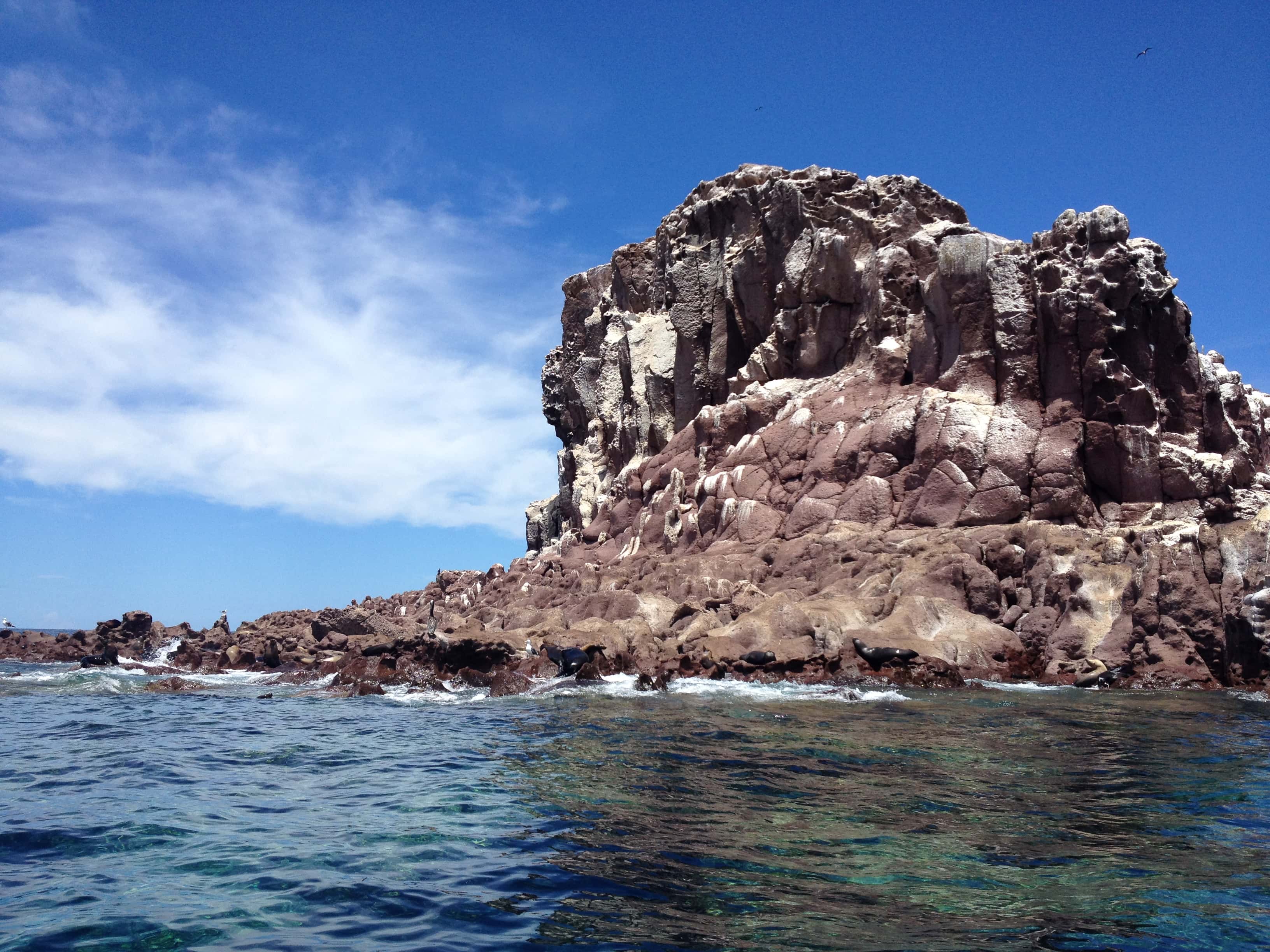
Los Islotes
Rocks off the north end of Isla Partida, in the Espíritu Santo archipelago north of La Paz, home to a colony of California sea lions. Boats anchor off the colony so guests can snorkel near the sea lions, except from June 1 to August 31, when the park closes it to swimmers while they breed.
Isla Espíritu Santo
- Snorkeling
- Swimming
- Paddleboarding
- Scuba diving
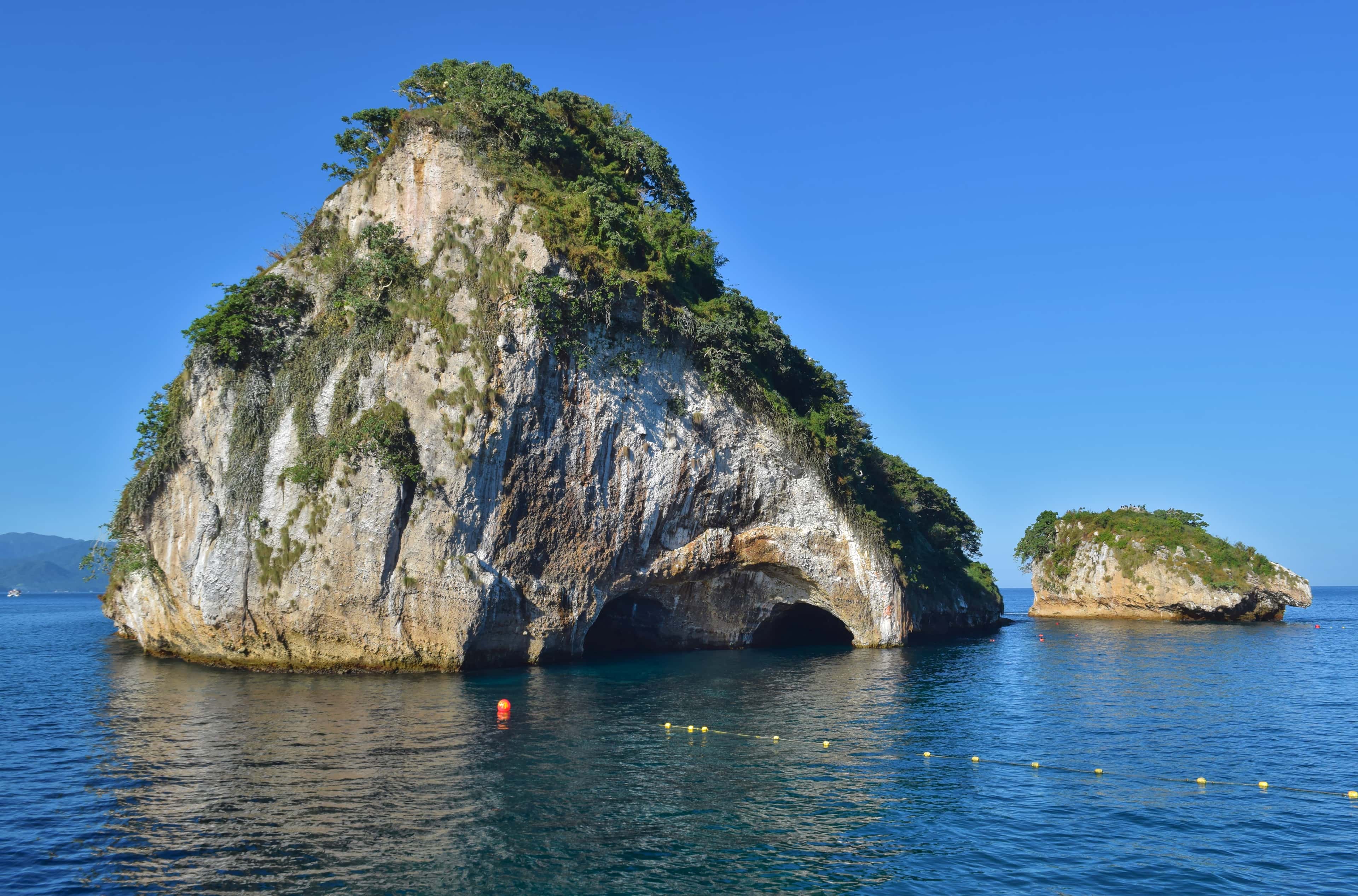
Los Arcos de Mismaloya
Five granite islets just off Mismaloya, about 12 km south of Puerto Vallarta in Banderas Bay, with arches cut through the larger rocks and reef walls below.
- Scuba diving
Princesa Vallarta Wreck
A sunken boat on the floor of Banderas Bay, a little under 200 metres off the Las Gemelas beaches south of Puerto Vallarta. It is a deep dive for certified divers, about 6 nautical miles by boat from the Puerto Vallarta marinas.
Isla del Carmen
An island of about 15,000 hectares in the Gulf of California, in Loreto Municipality, Baja California Sur. It lies within Parque Nacional Bahía de Loreto.
- Scuba diving
Los Anegados
A submerged rock bank in the northern part of Banderas Bay, lying about midway between El Morro and the Marieta Islands. It is a boat dive, best suited to divers with some experience.
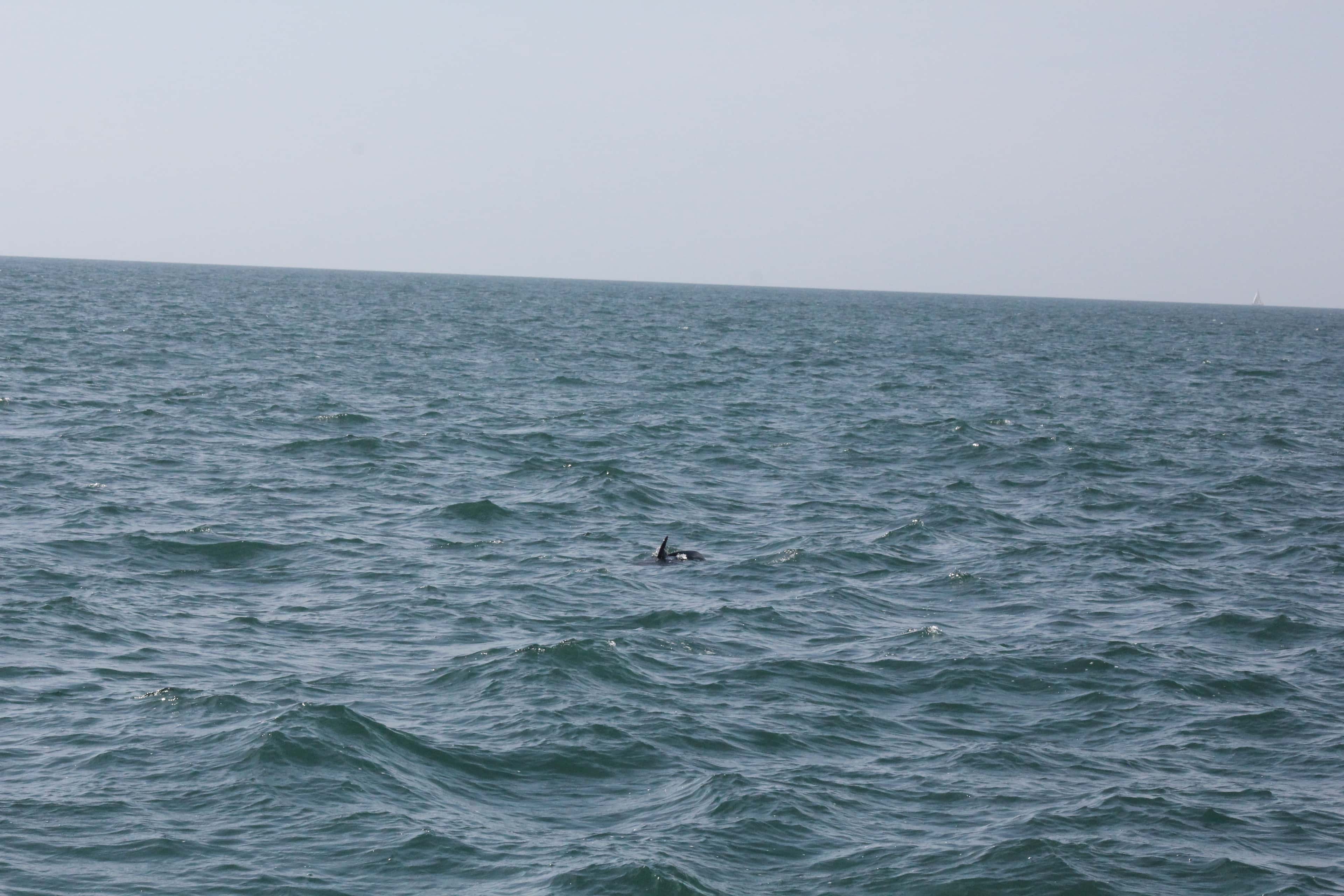
Wild Dolphins of Banderas Bay
Wild dolphins share Banderas Bay with the boats that cross it, and a morning spent looking for them is one of the quieter ways to see the bay. It is a search on open water, so a sighting is never certain.
- Surfing
The Cove, Punta de Mita
A surf break at Punta de Mita, on the north-west point of Banderas Bay. Surfers reach it by boat from the Punta de Mita shore or on foot over the rocks.
- Snorkeling
- Swimming
- Scuba diving
Marietas Islands
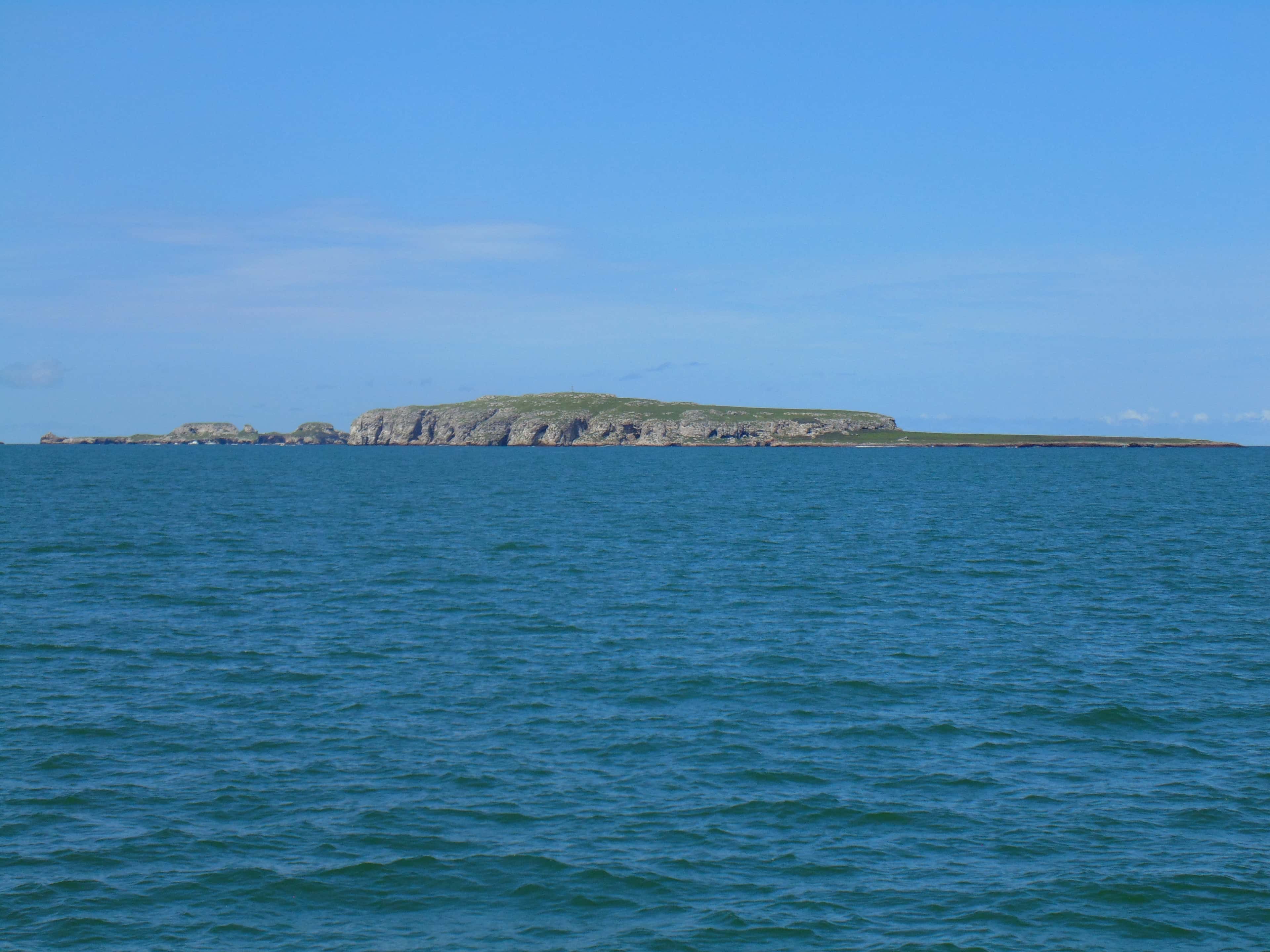
Two small islands at the western mouth of Banderas Bay, reached only by boat, with seabirds to watch and water to snorkel and dive.
- Whale watching
San José del Cabo Whale Grounds
Open water in the Sea of Cortez off San José del Cabo, a short run from Puerto Los Cabos, where humpback whales pass each winter. It is an area, not a spot: the whales move every day, and a sighting is never certain.
Tehuamixtle
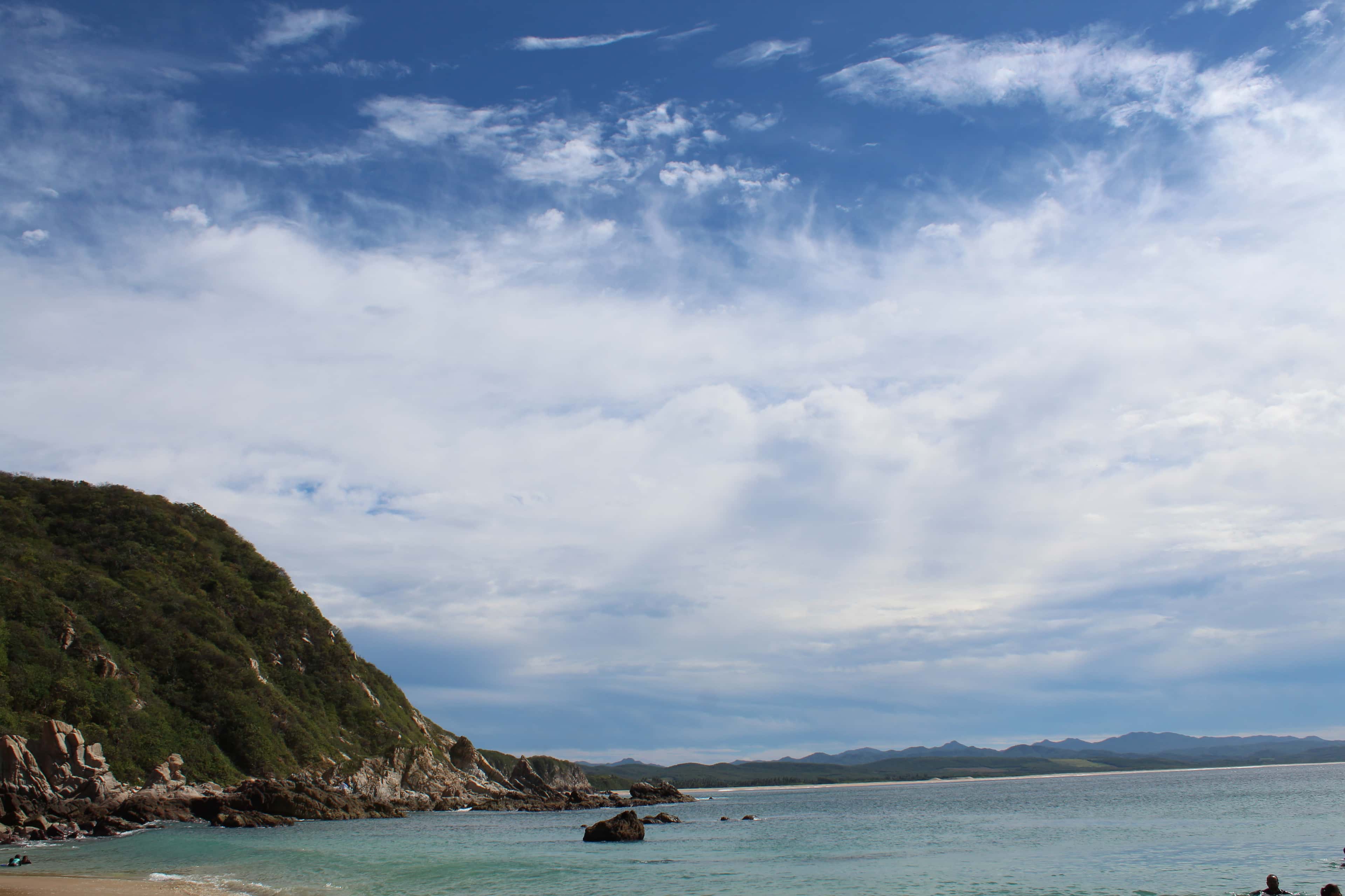
A small bay and community in the municipality of Cabo Corrientes, Jalisco, on the open Pacific south of the cape that closes Banderas Bay. It is a long run by sea from the Puerto Vallarta marinas, best kept for a trip of more than one day.
- Snorkeling
San Rafaelito
A small rock with a lighthouse on it, about nine nautical miles north of Marina Cortez in La Paz, where California sea lions rest. Half-day boats stop beside it so guests can snorkel near the sea lions.
- Fishing
Golden Gate Bank
An underwater bank on the Pacific side of the cape, about 21 nautical miles (40 km) northwest of Cabo San Lucas and 12 nautical miles (22 km) north of San Jaime Bank. Its shallowest charted point is about 11 m below the surface. It is known for striped marlin, and for yellowfin tuna.
- Fishing
San Jaime Bank
An underwater bank in the Pacific, about 19 nautical miles (35 km) west of Cabo San Lucas, past Cabo Falso. Its shallowest charted point is about 9 m below the surface, with deep water all around. Fishing reports from Cabo San Lucas name it for yellowfin tuna, and it is one of the seamounts of the region where marlin and other large open-water fish gather.
Maps © OpenStreetMap