Loading map…
Sea of Cortez
Sea in the Pacific Ocean
The arm of the Pacific between the Baja California peninsula and the Mexican mainland, also called the Gulf of California. It runs some 1,126 km from north to south and is 48 to 241 km wide, and parts of it are a UNESCO World Heritage Site.
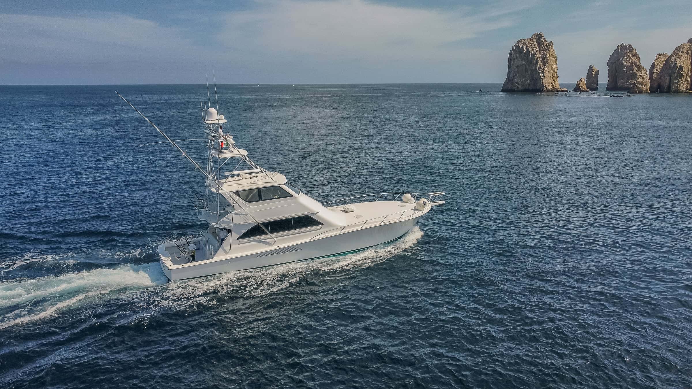
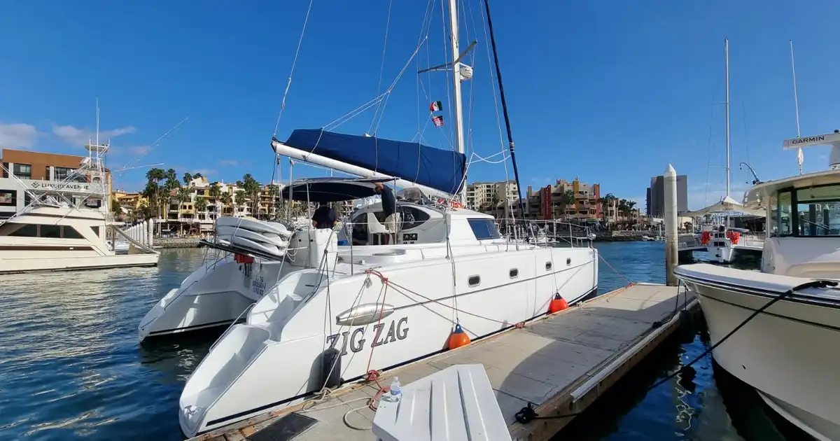
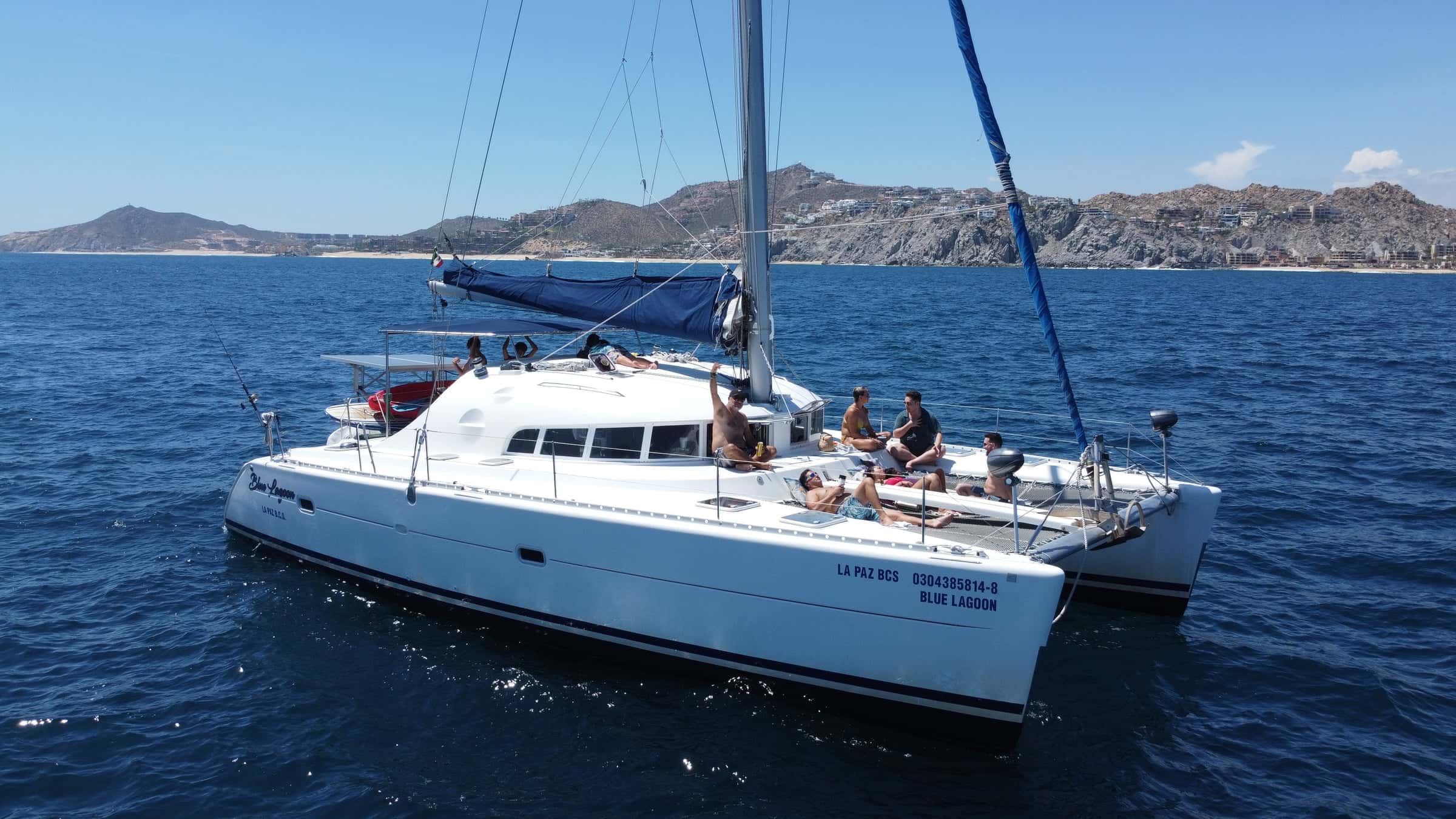
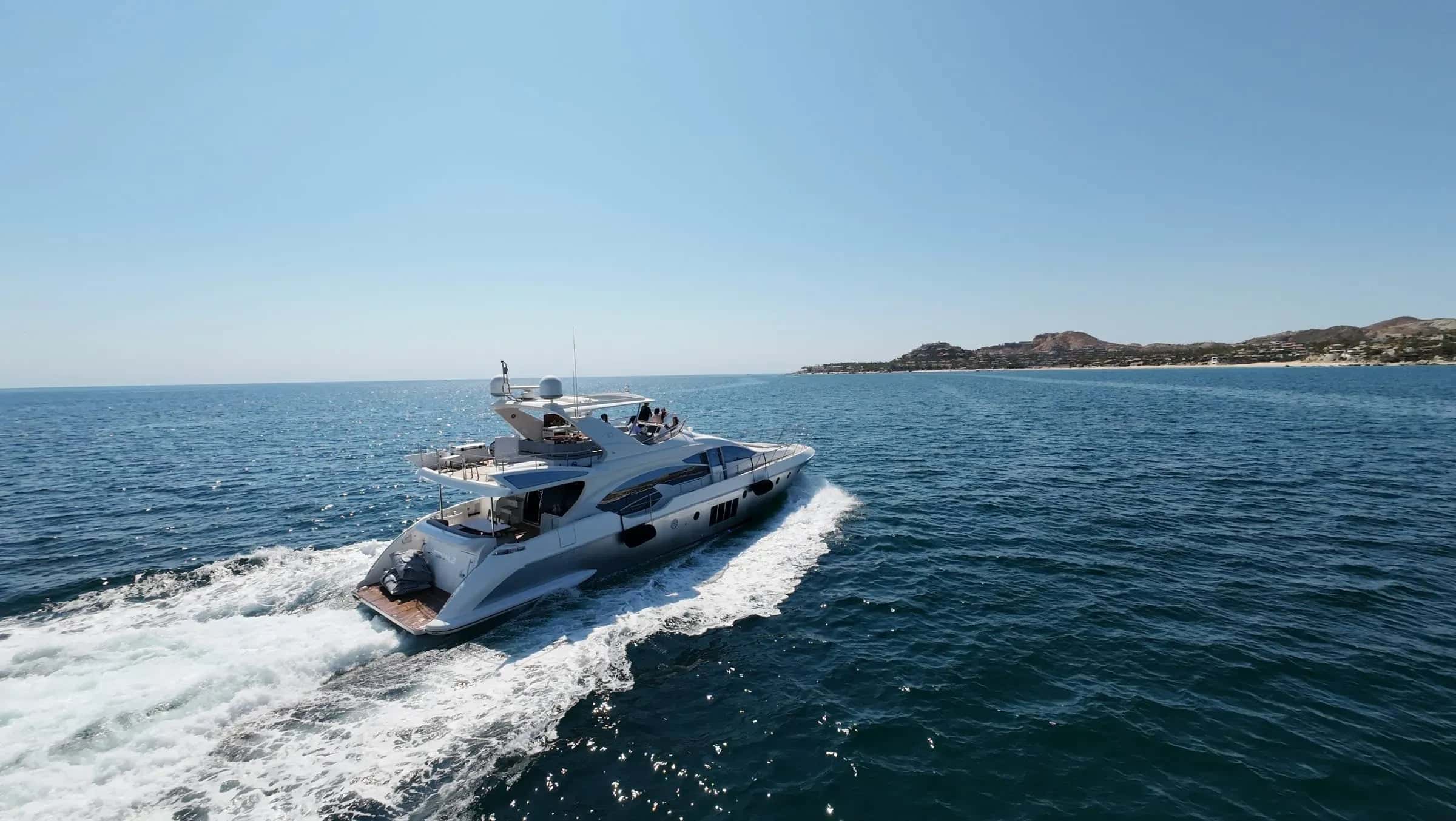
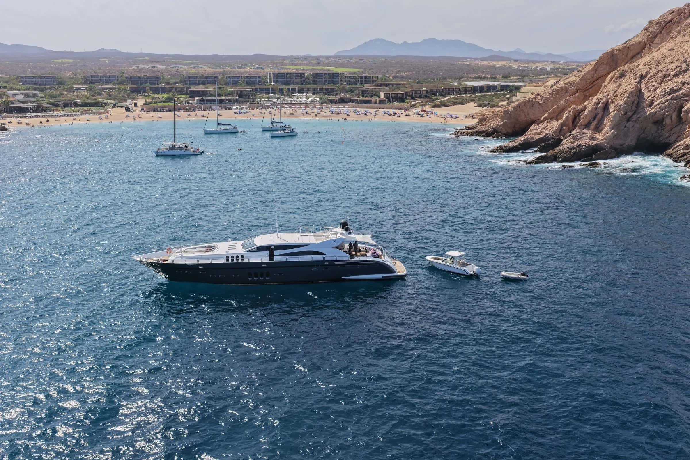
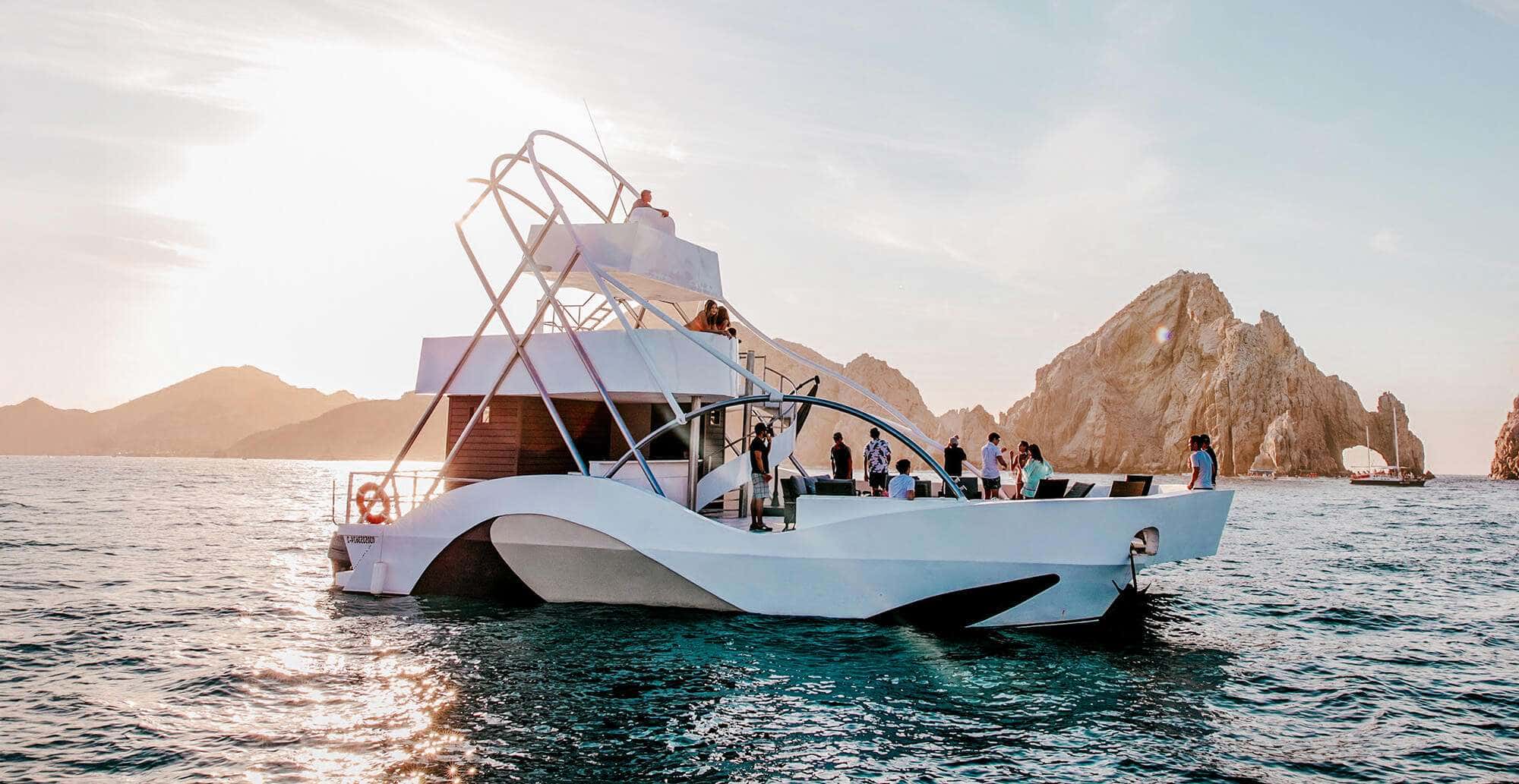
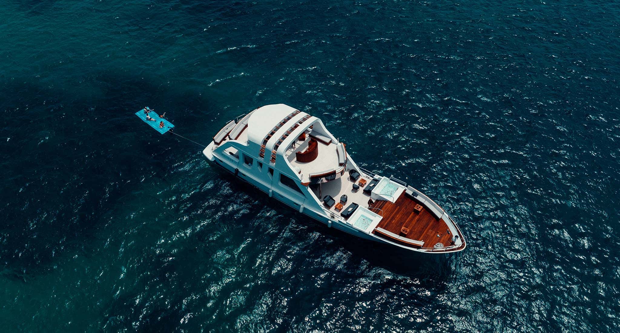
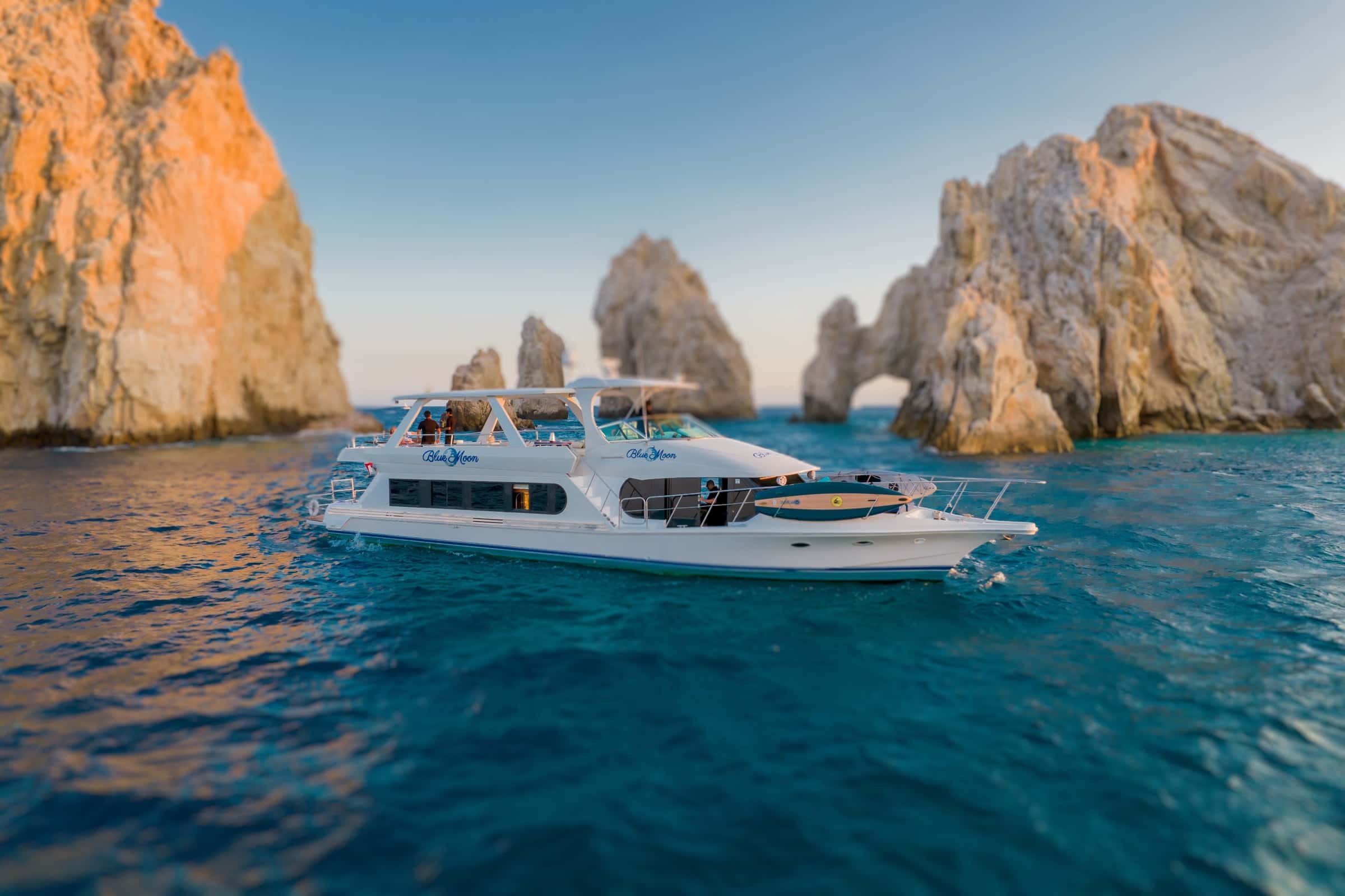
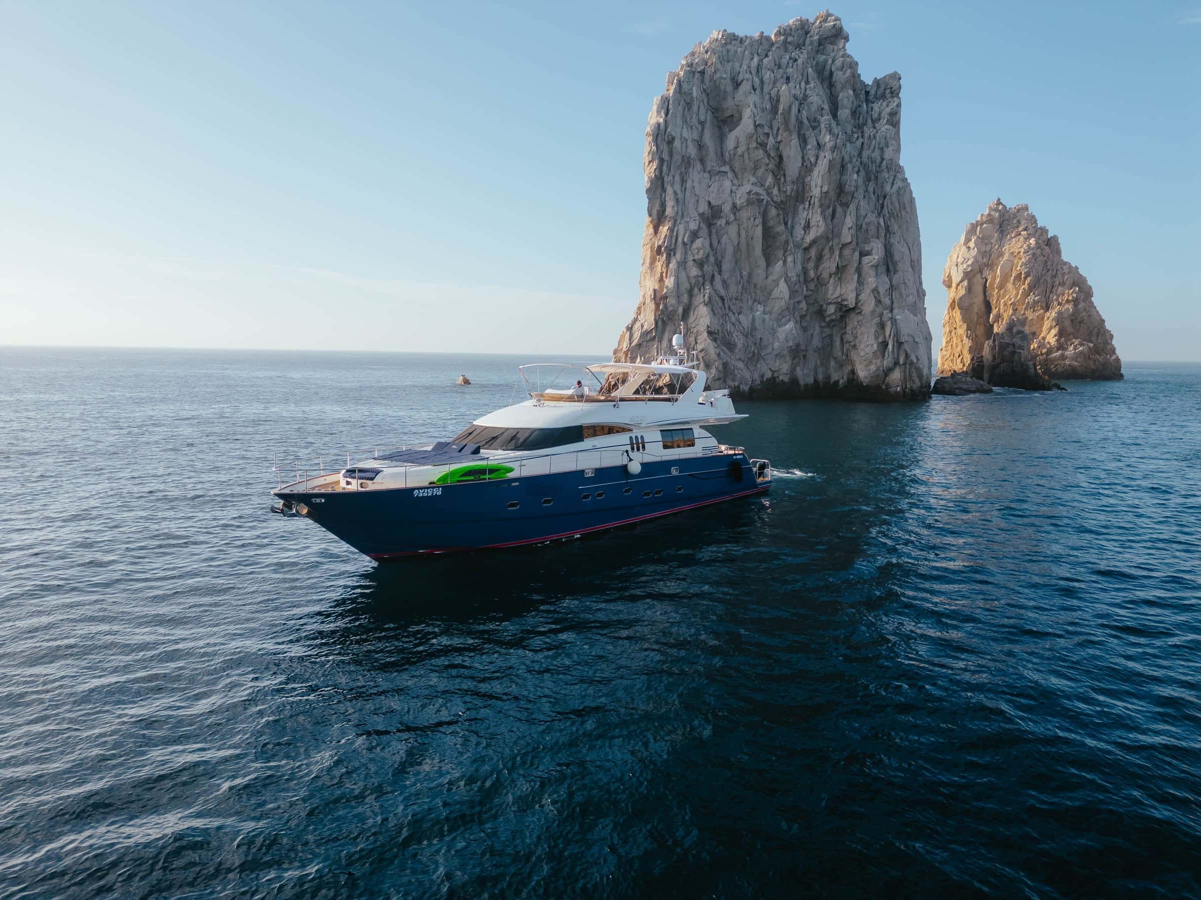
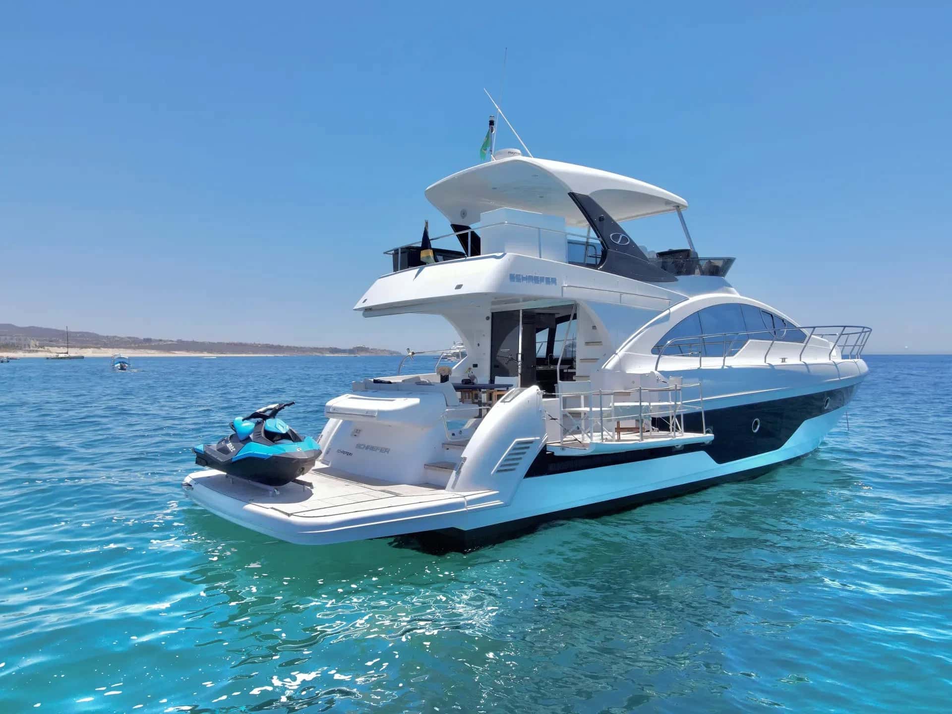
Yachts that sail the Sea of Cortez
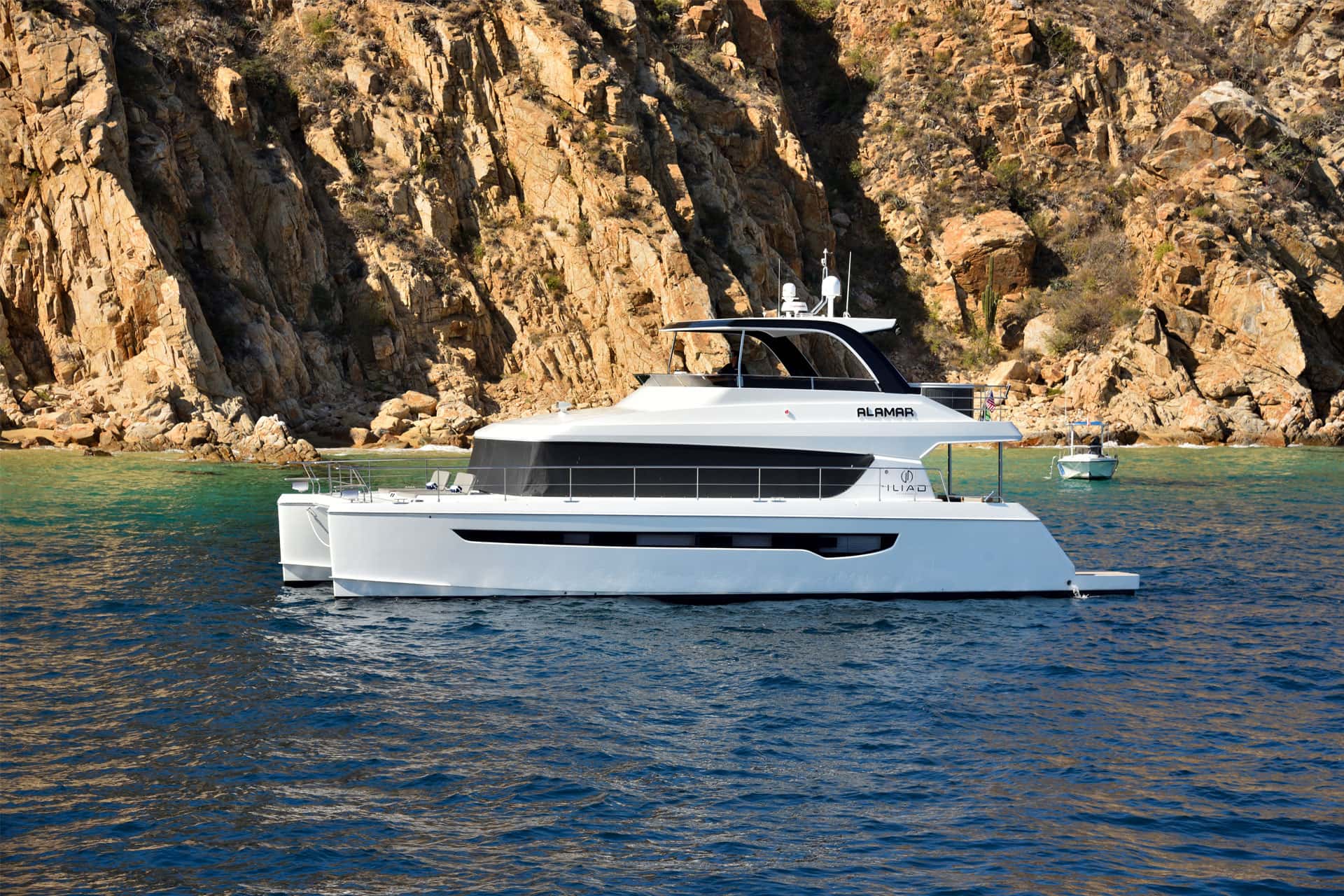
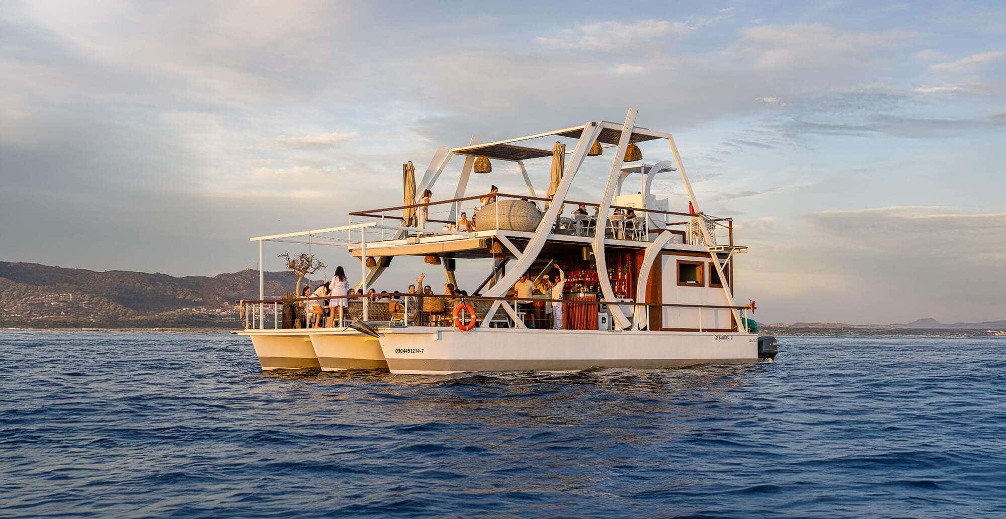
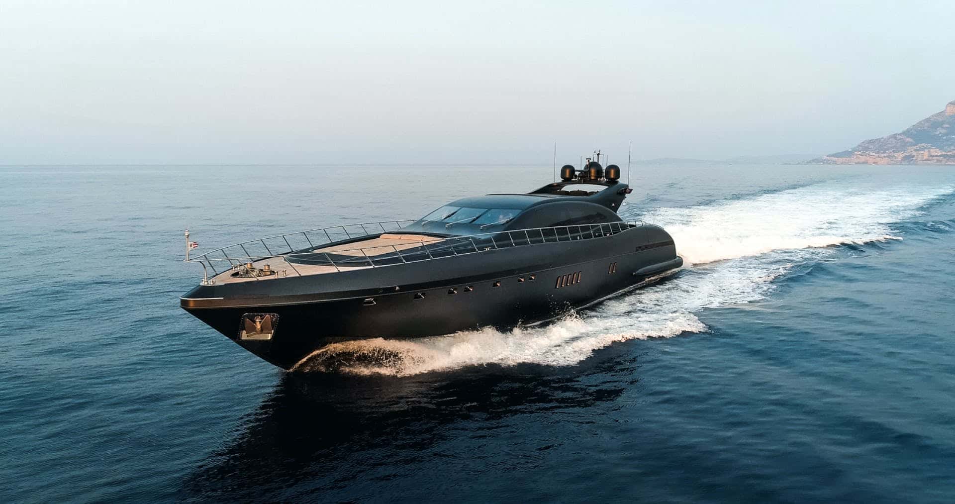
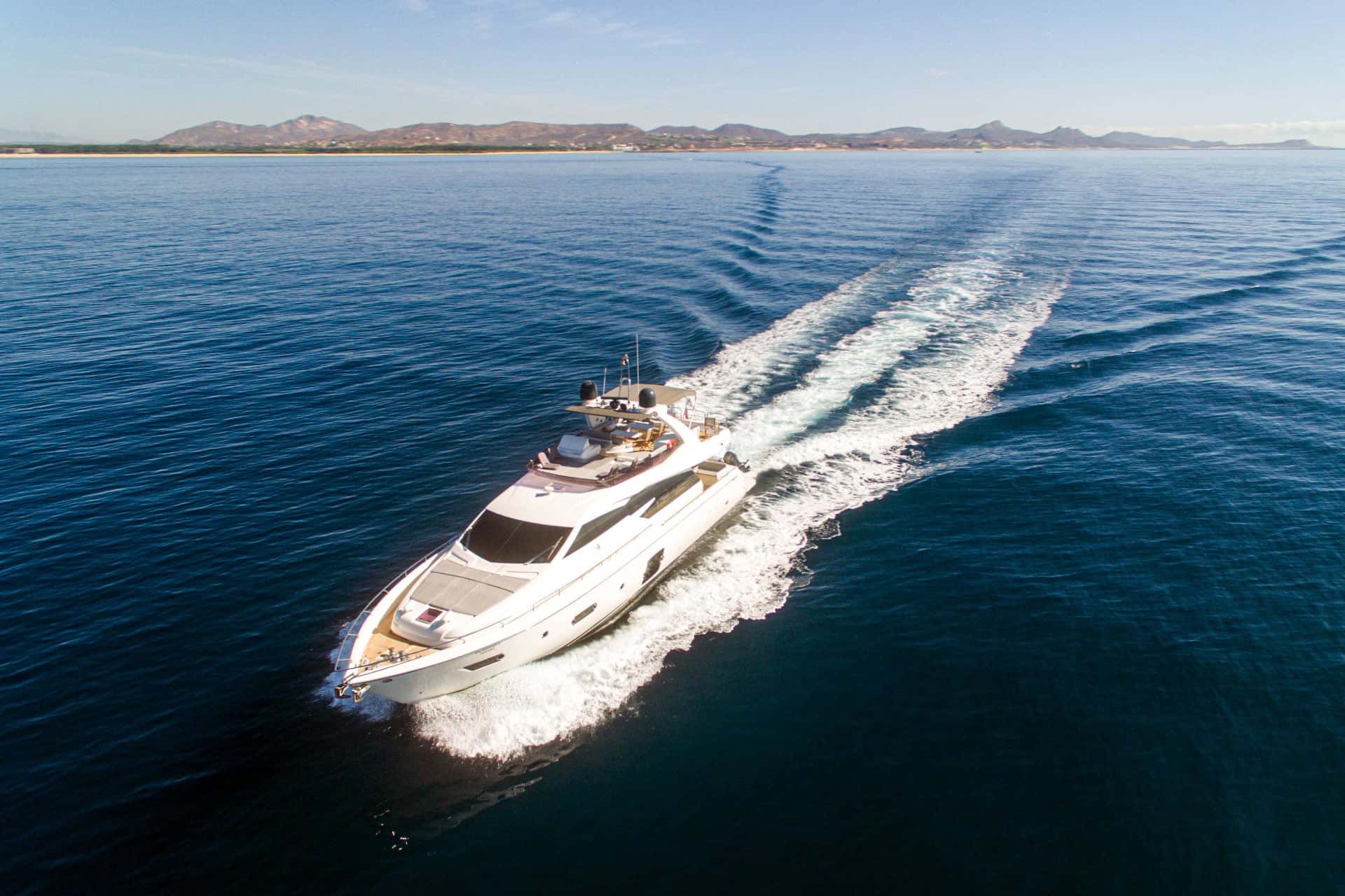
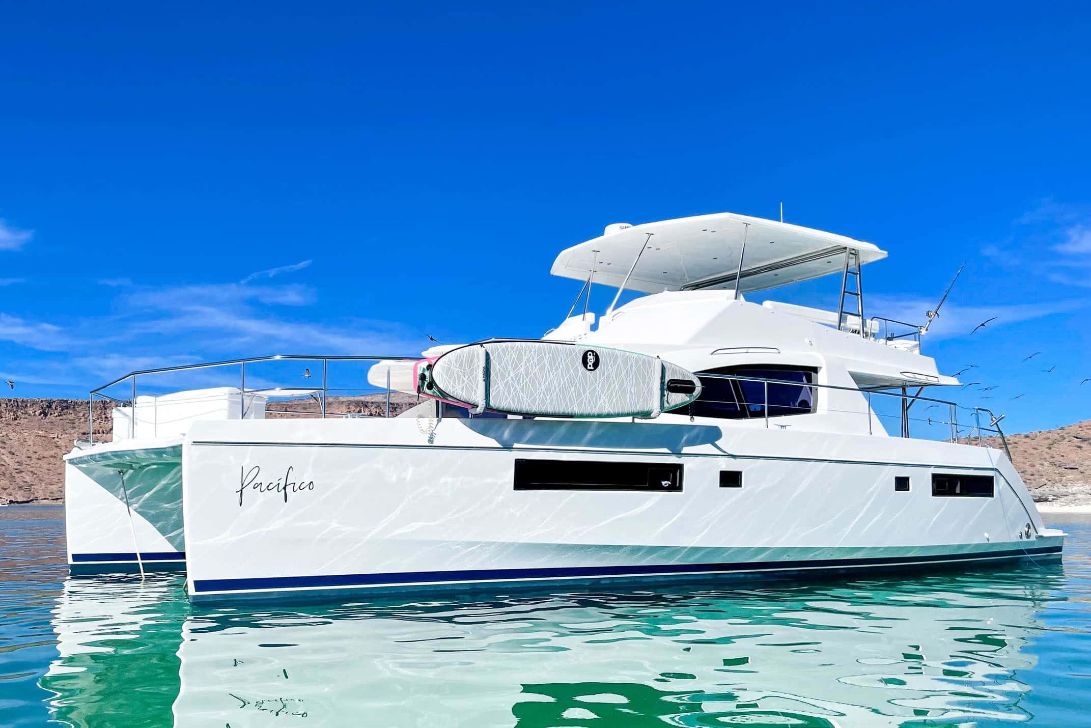
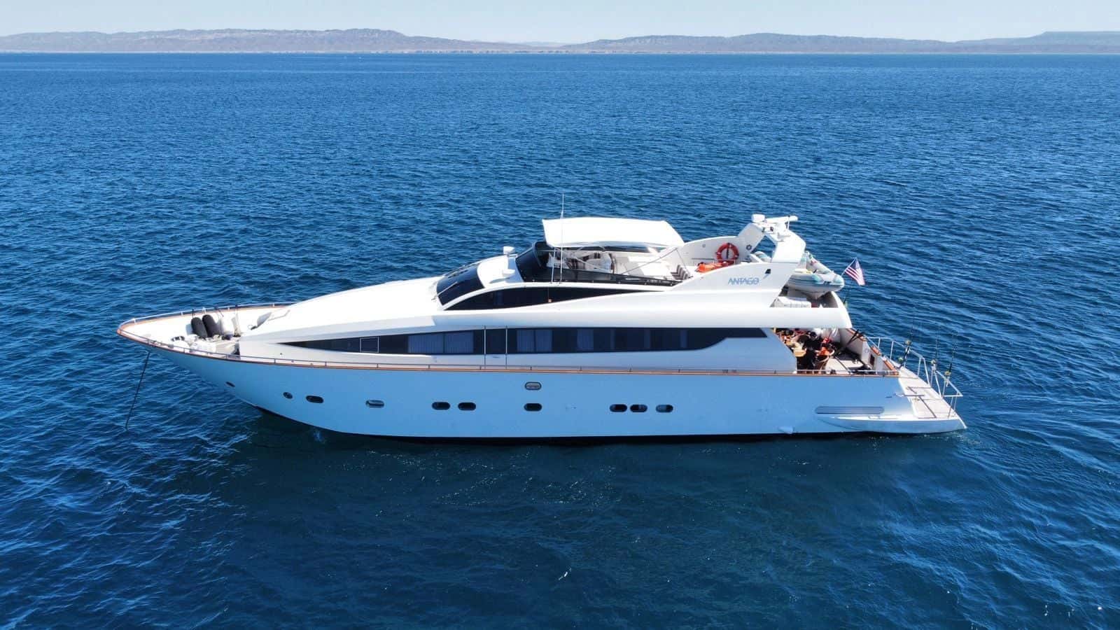
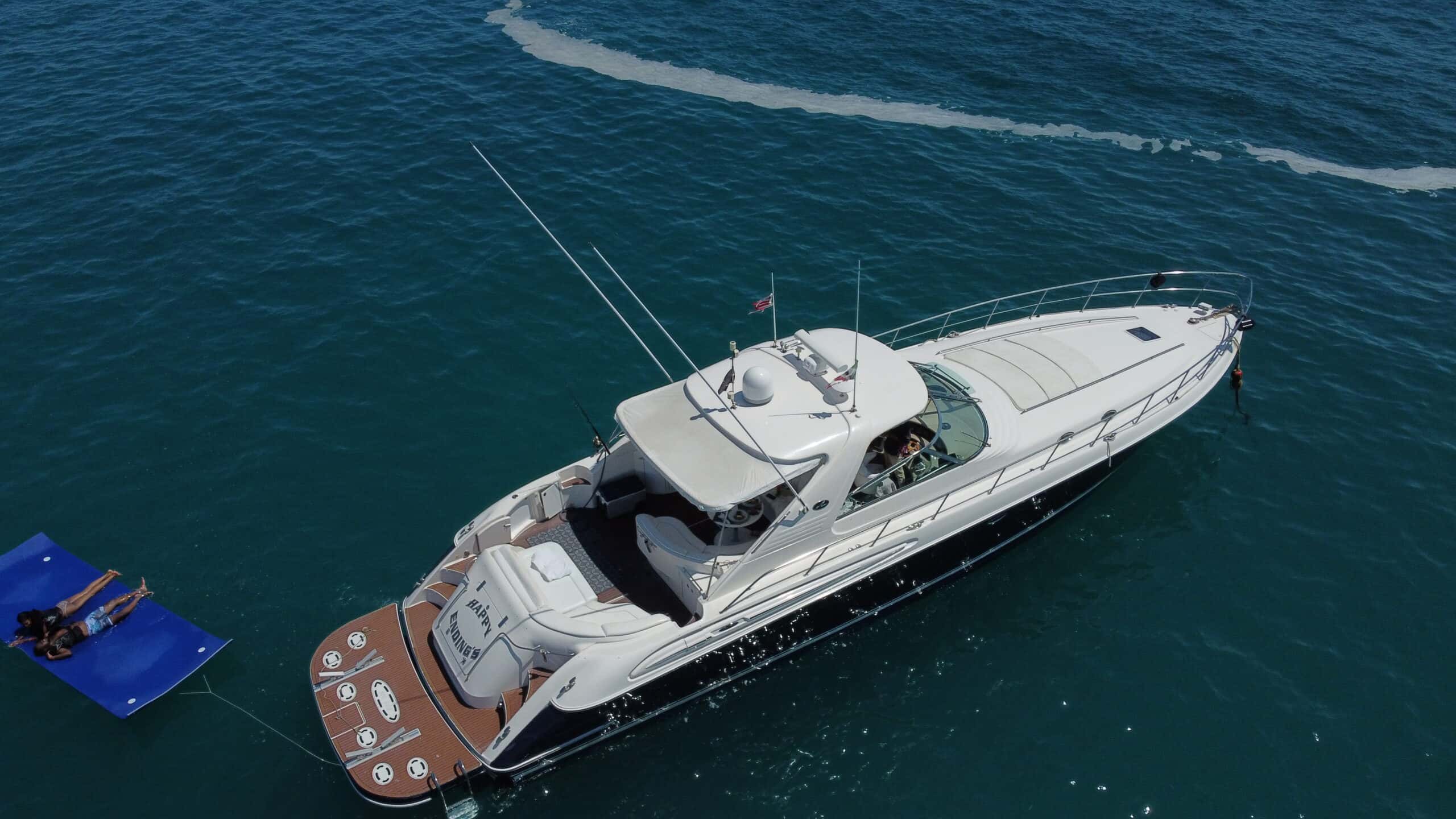
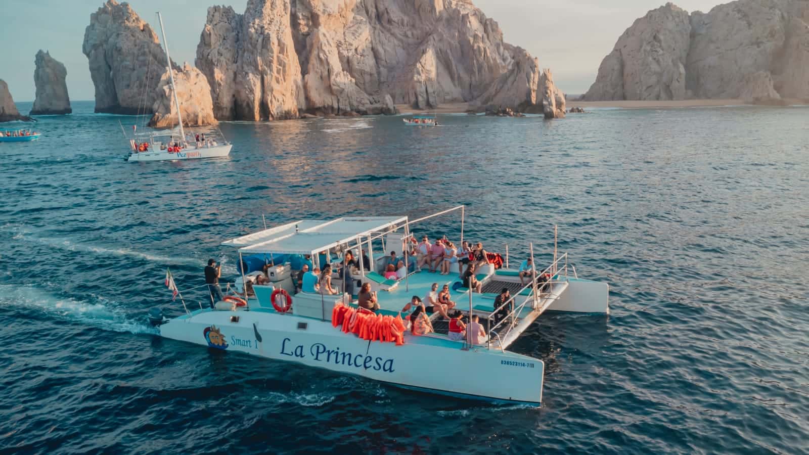
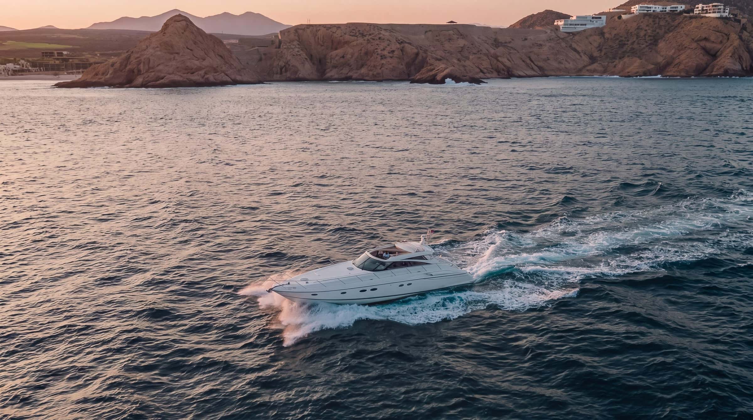
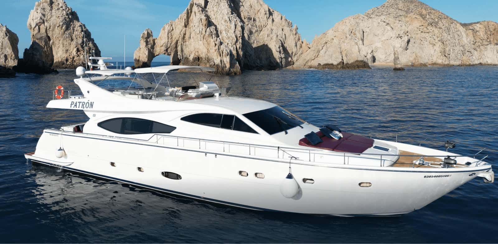
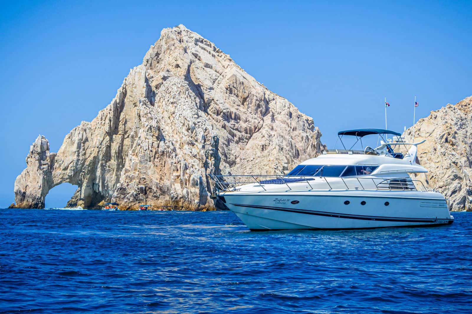
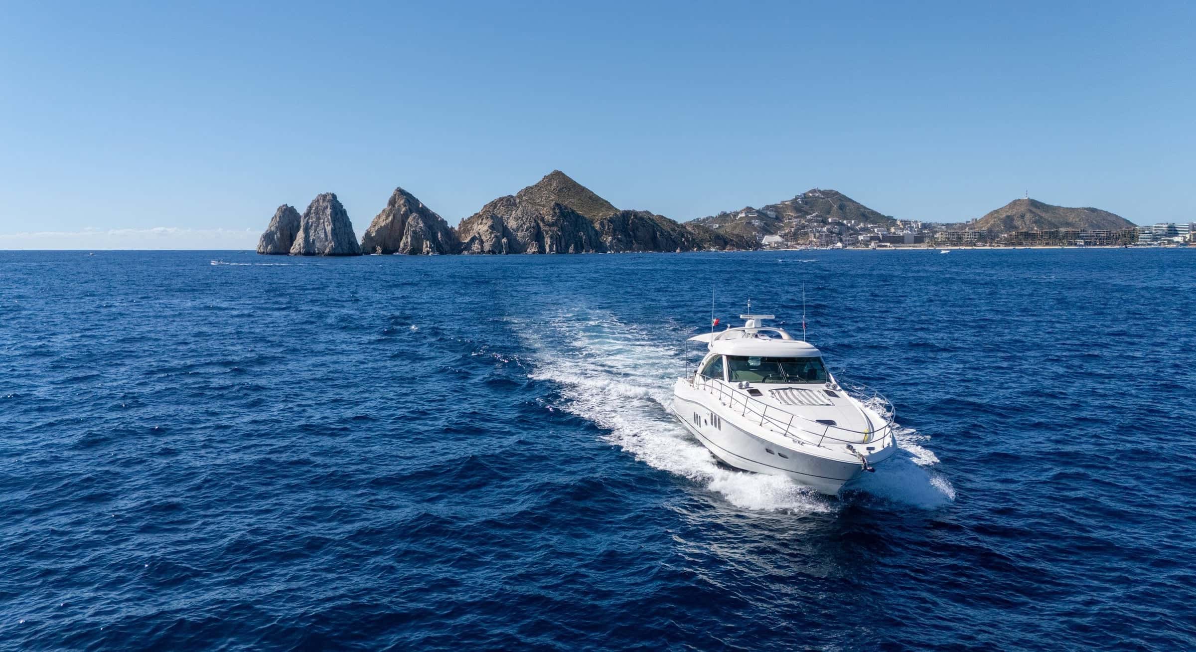
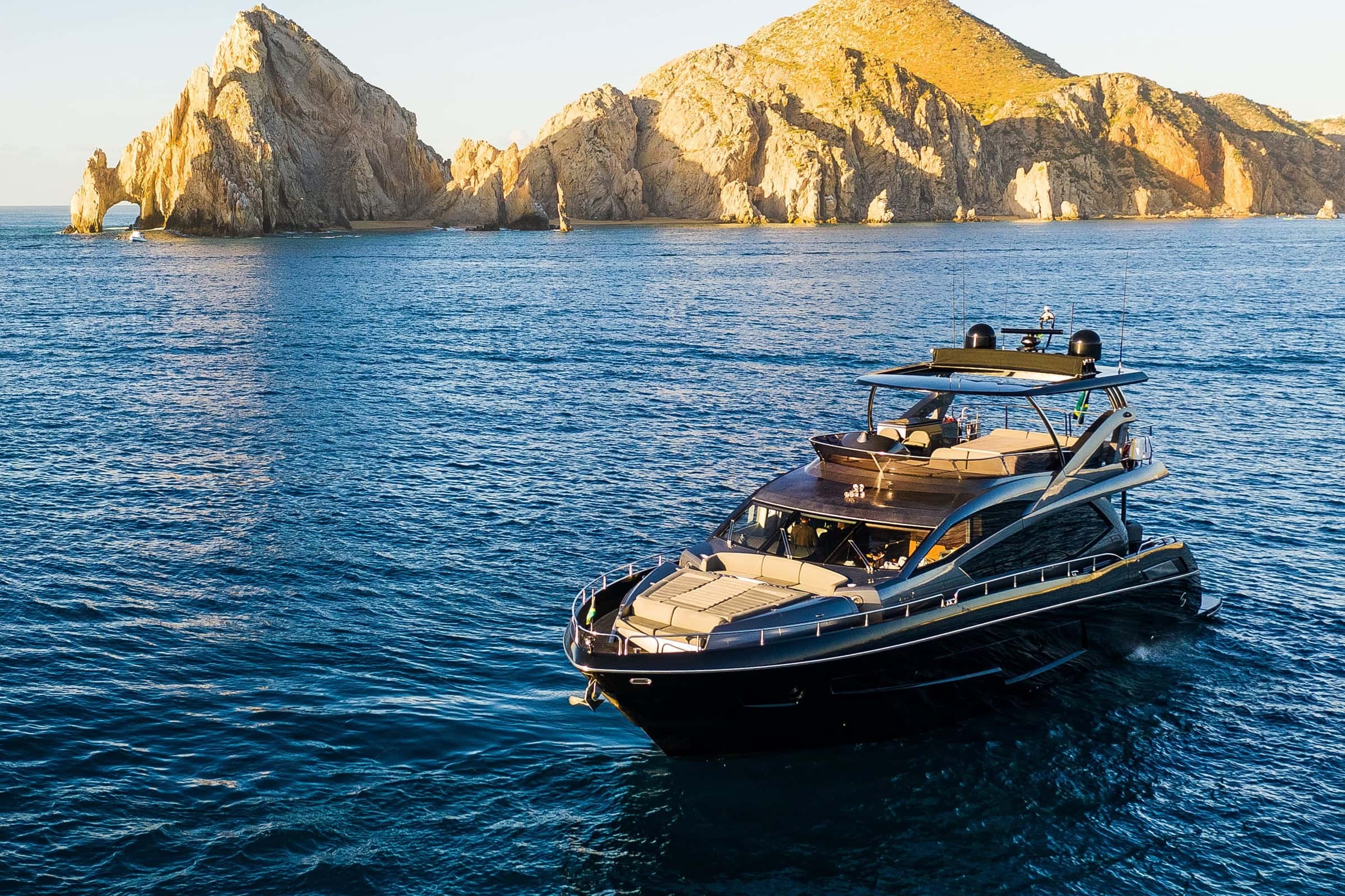
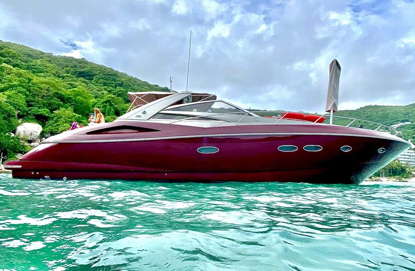
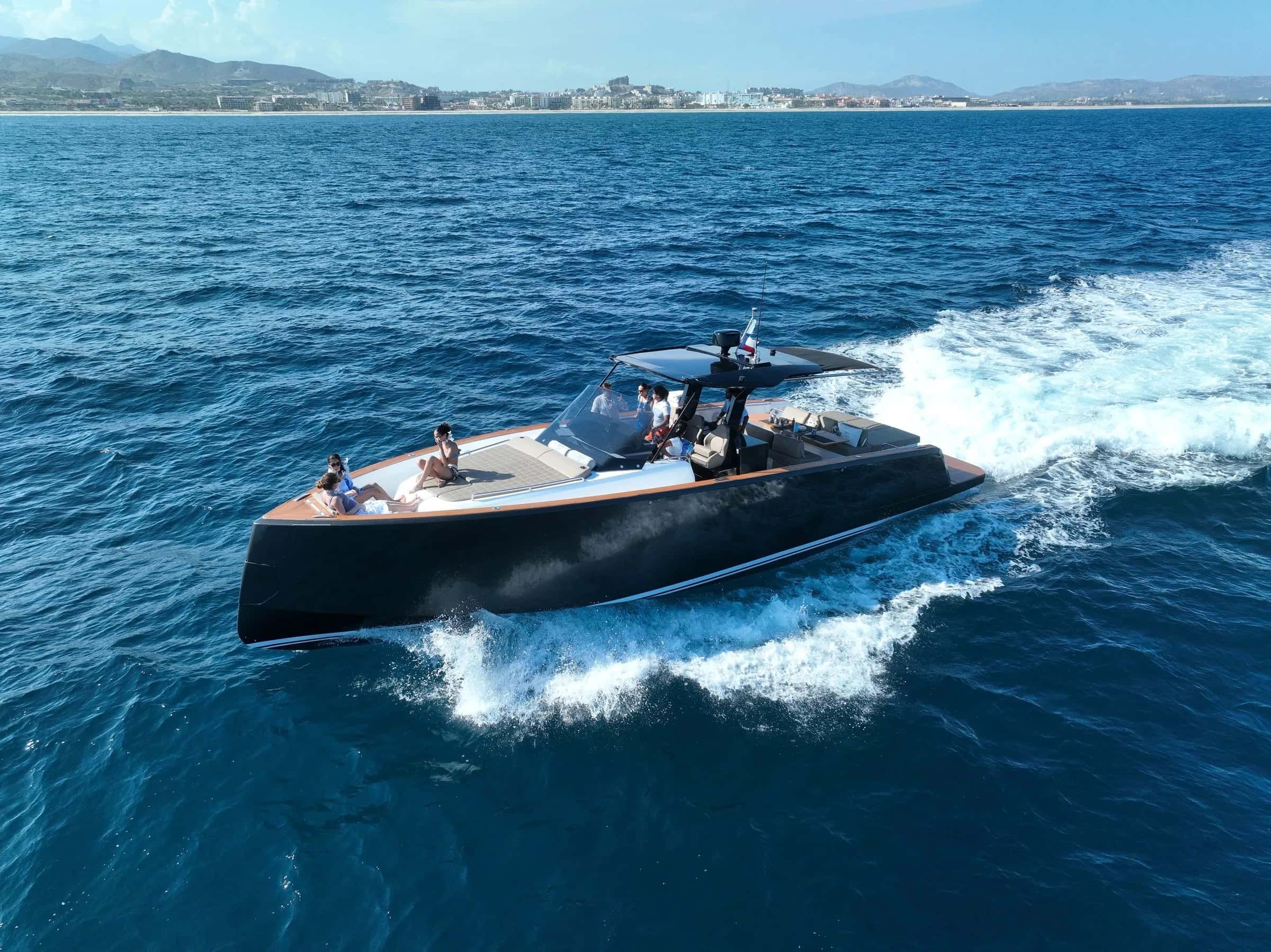
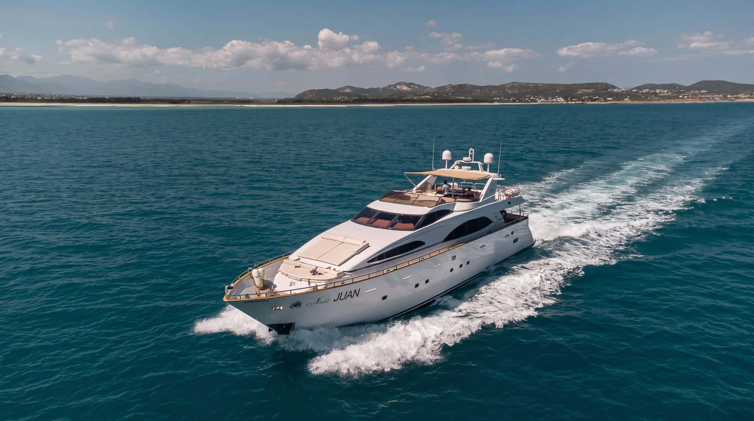
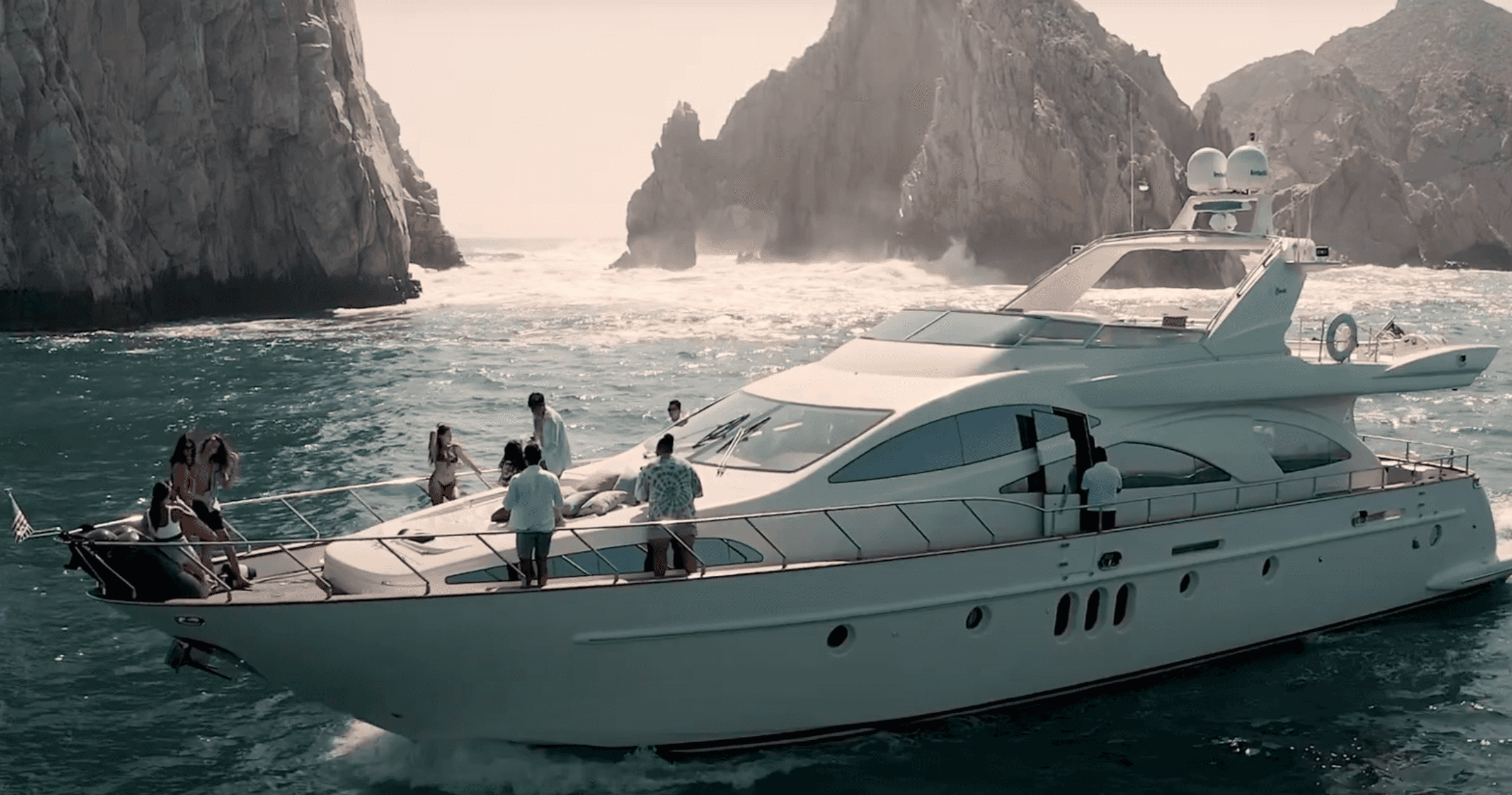
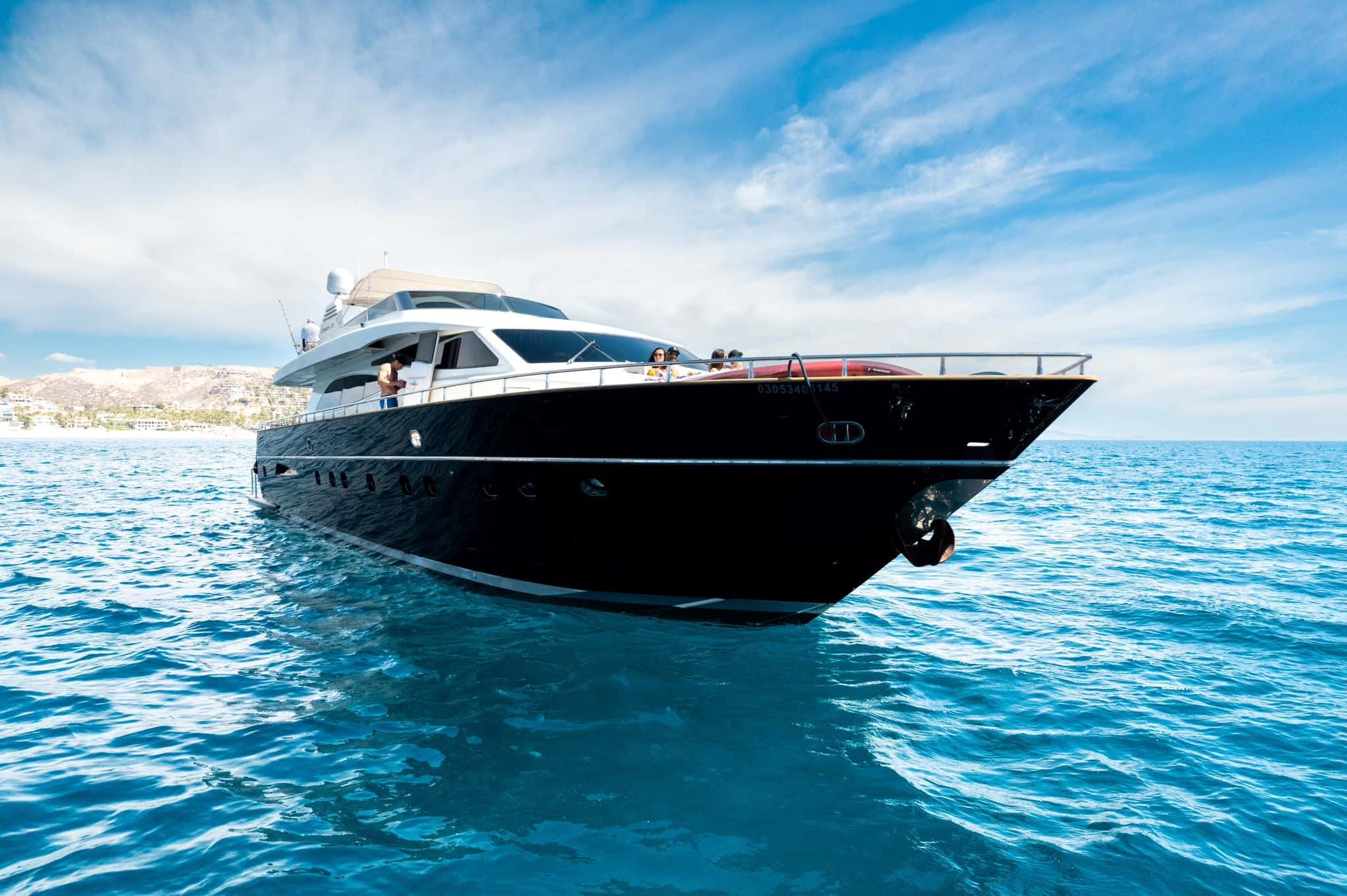
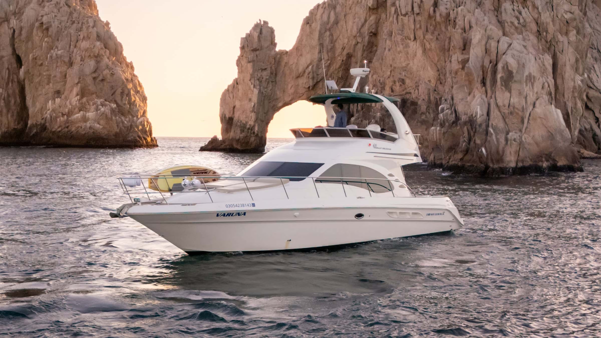
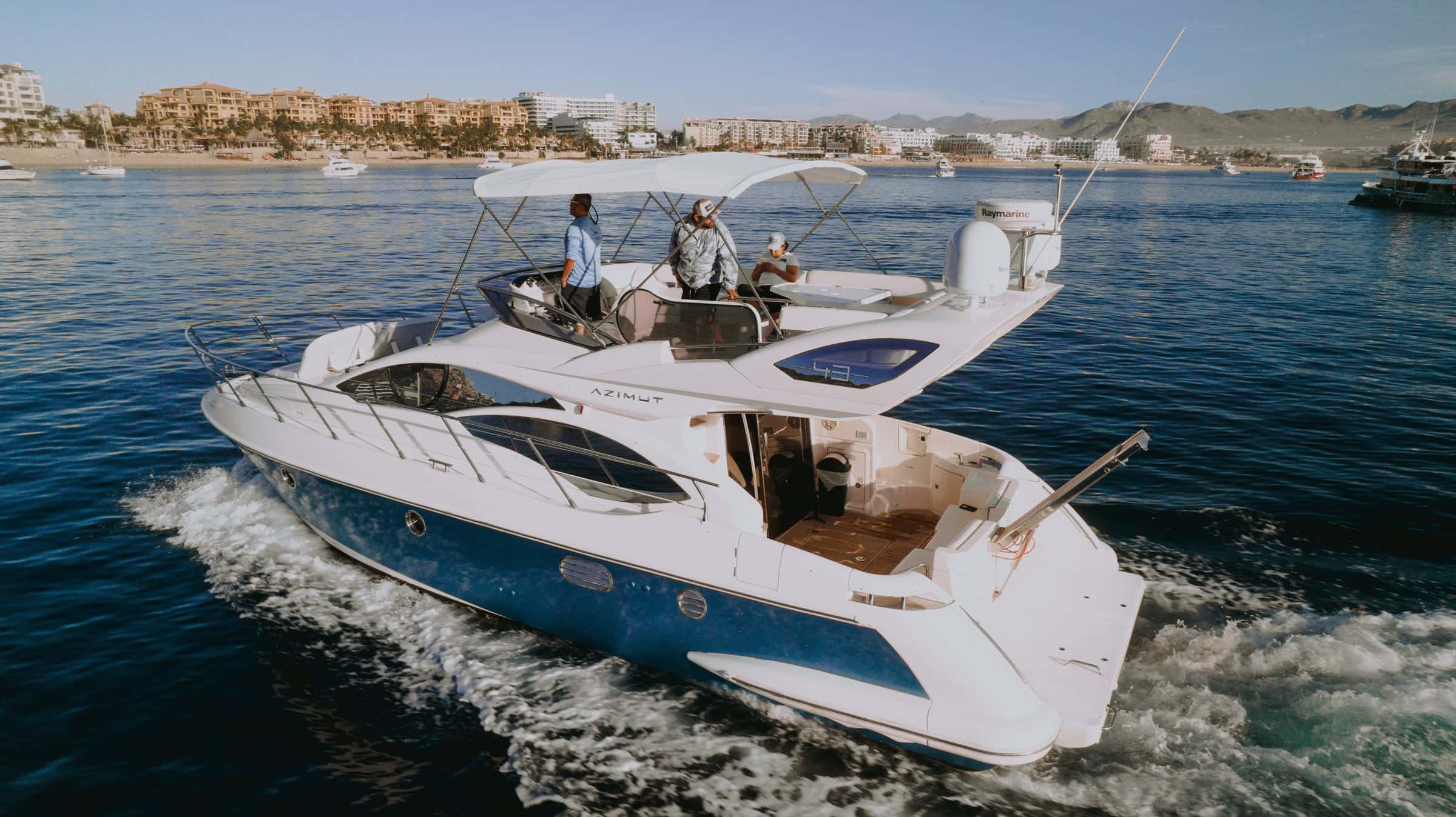
Regions on the Sea of Cortez
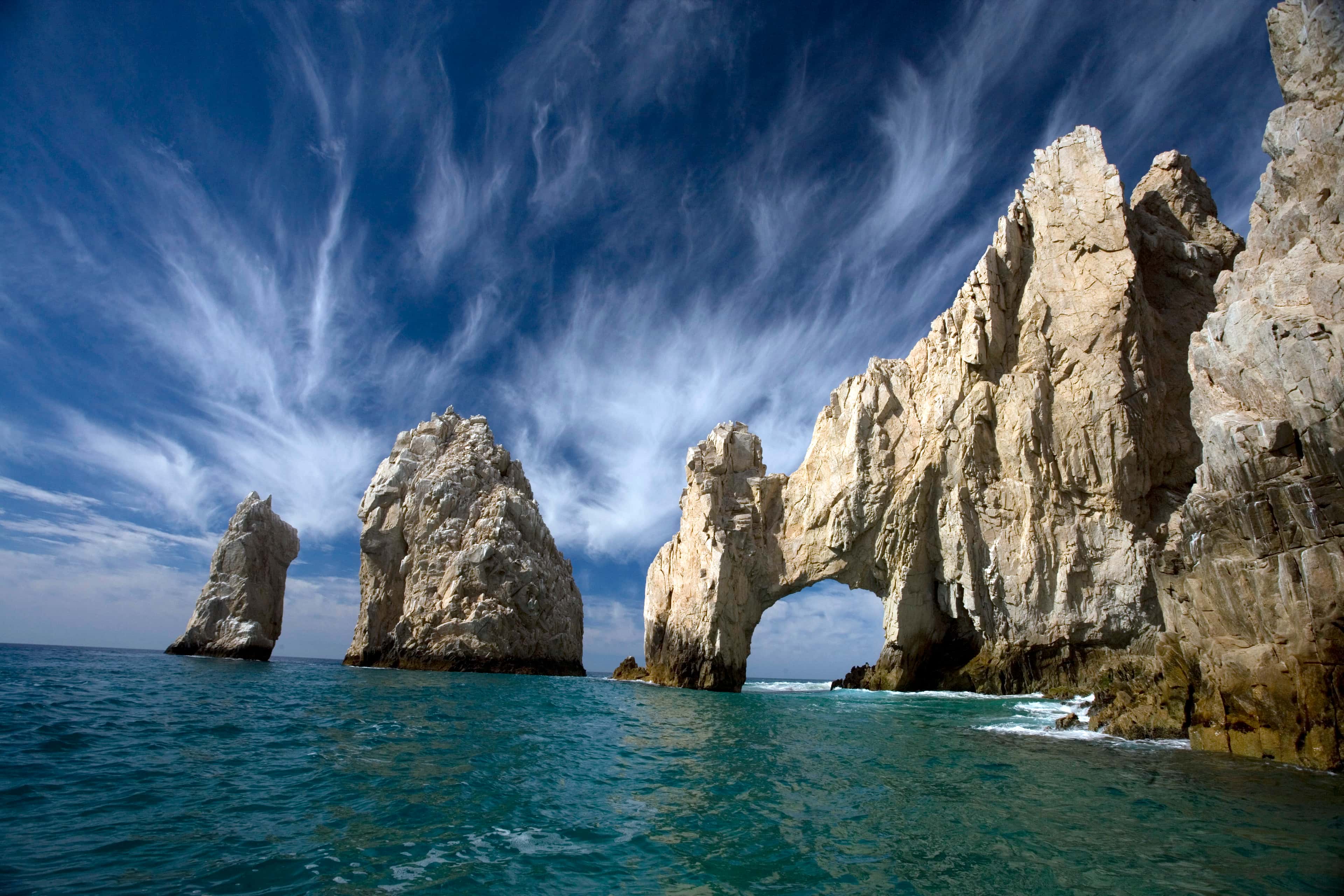
Places in the Sea of Cortez
La Paz Bay
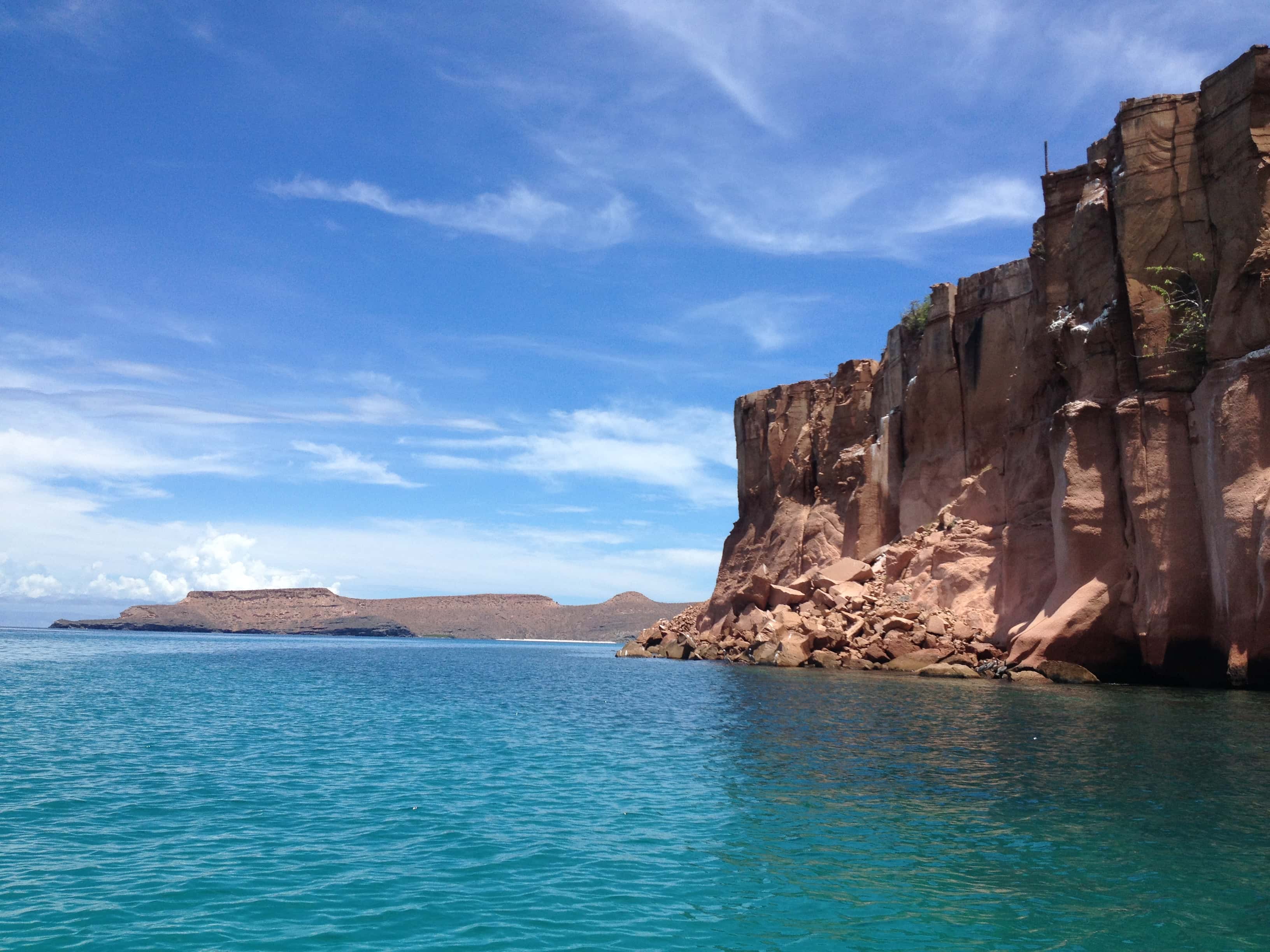
The largest bay on the east coast of Baja California, opening east onto the Sea of Cortez. Isla Espíritu Santo and Isla Partida lie across its mouth, and the port of La Paz sits at its southern end, behind the sand spit of El Mogote.
Isla Jacques Cousteau
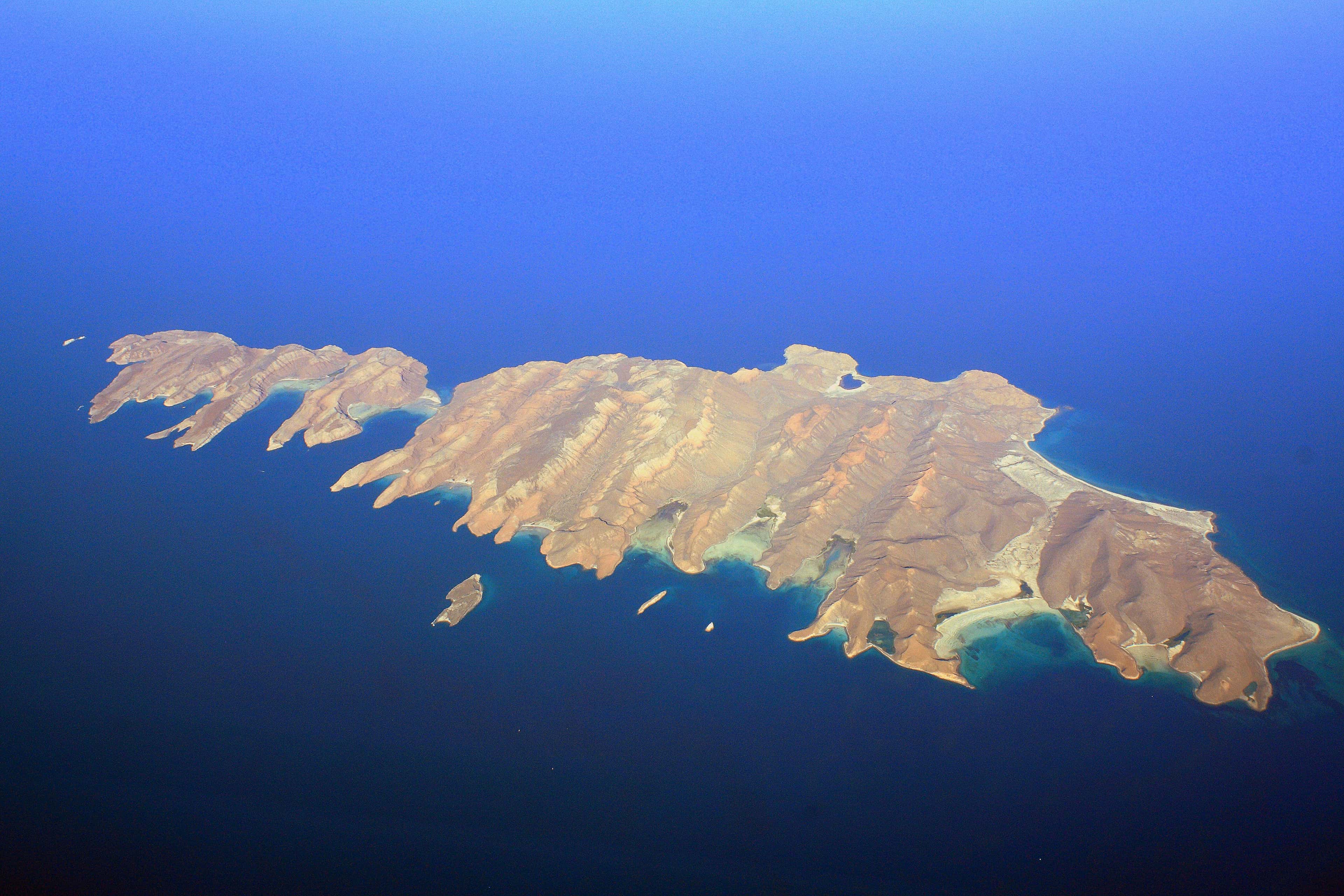
An uninhabited island about 29 km long, some 65 km east of La Paz across the Cerralvo Channel from La Ventana and El Sargento. It was Isla Cerralvo until 2009, when Mexico renamed it for Jacques Cousteau, and on the coast it is still called Cerralvo.
Isla San José
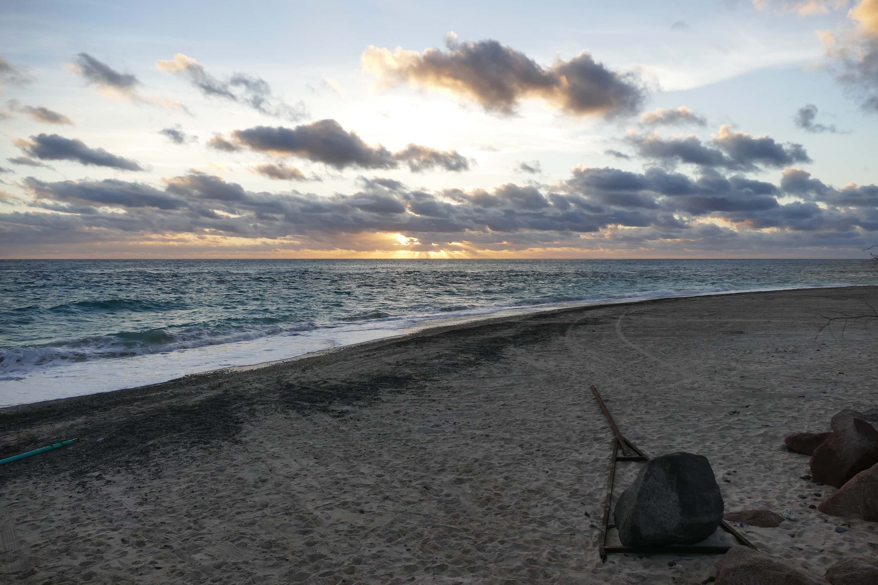
A volcanic island in the Sea of Cortez, some 60 km north of La Paz and the sixth-largest island in Mexico. It is about 30 km long, with a peak of 633 m near its middle.
- Snorkeling
- Scuba diving
Cabo Pulmo
A coral reef on the East Cape of Baja California Sur, inside Cabo Pulmo National Park. Divers and snorkellers come for the reef and the fish that crowd it.
- Scuba diving
- Fishing
El Bajo (Espíritu Santo Seamount)
A seamount in the Gulf of California north of Isla Espíritu Santo, about 33 nautical miles (61 km) north of La Paz. It rises more than 890 m from the sea floor and is also called El Bajo de Espíritu Santo. Researchers have recorded striped, blue and black marlin, yellowfin tuna and dorado there, and it has been studied since the 1980s for its schools of hammerhead sharks. Sport-fishing boats run out to it for the billfish and tuna, and divers go down on it for the hammerheads.
- Fishing
Gordo Banks
Two underwater banks off San José del Cabo, charted as Banco Gorda de Adentro (the Inner Gorda Bank) and Banco Gorda de Afuera (the Outer Gorda Bank). The inner bank rises to about 15 m below the surface, about 9 nautical miles (16 km) east of the San José del Cabo marina and 23 nautical miles (43 km) from Cabo San Lucas. The outer bank lies about 3 nautical miles (5 km) farther out and is deeper, about 62 m at its shallowest. The banks are known for yellowfin tuna, wahoo and marlin, and for bottom fish such as snapper, grouper and amberjack.
- Snorkeling
Los Islotes
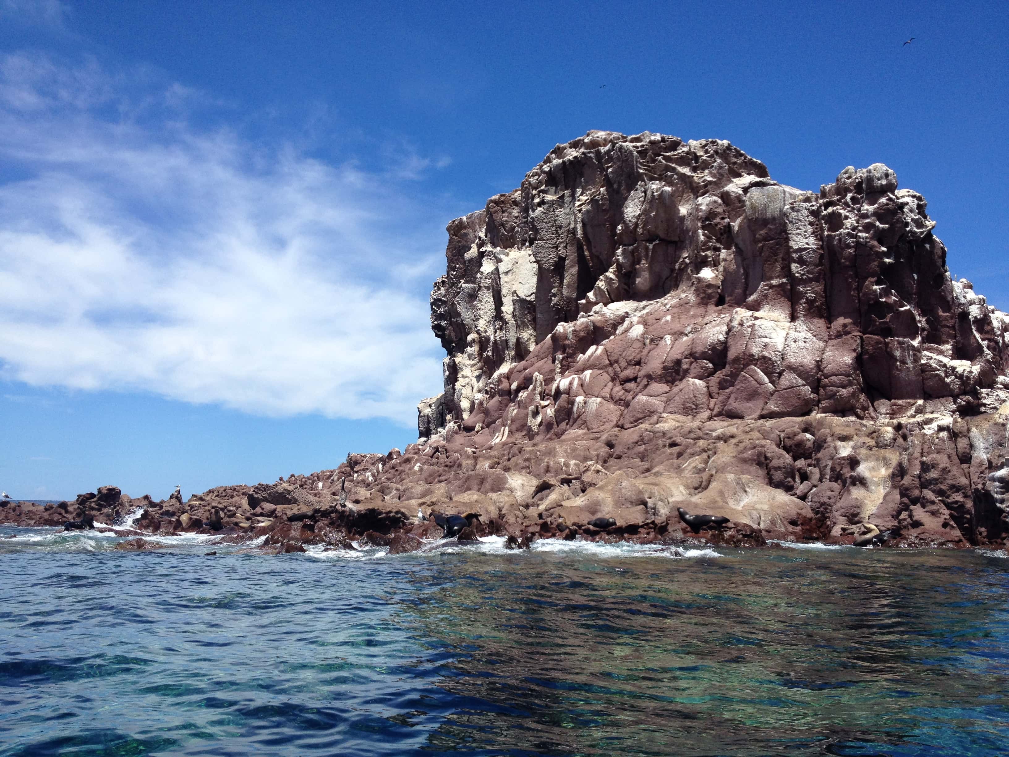
Rocks off the north end of Isla Partida, in the Espíritu Santo archipelago north of La Paz, home to a colony of California sea lions. Boats anchor off the colony so guests can snorkel near the sea lions, except from June 1 to August 31, when the park closes it to swimmers while they breed.
Isla Espíritu Santo
Isla del Carmen
An island of about 15,000 hectares in the Gulf of California, in Loreto Municipality, Baja California Sur. It lies within Parque Nacional Bahía de Loreto.
- Whale watching
San José del Cabo Whale Grounds
Open water in the Sea of Cortez off San José del Cabo, a short run from Puerto Los Cabos, where humpback whales pass each winter. It is an area, not a spot: the whales move every day, and a sighting is never certain.
- Snorkeling
San Rafaelito
A small rock with a lighthouse on it, about nine nautical miles north of Marina Cortez in La Paz, where California sea lions rest. Half-day boats stop beside it so guests can snorkel near the sea lions.
Maps © OpenStreetMap