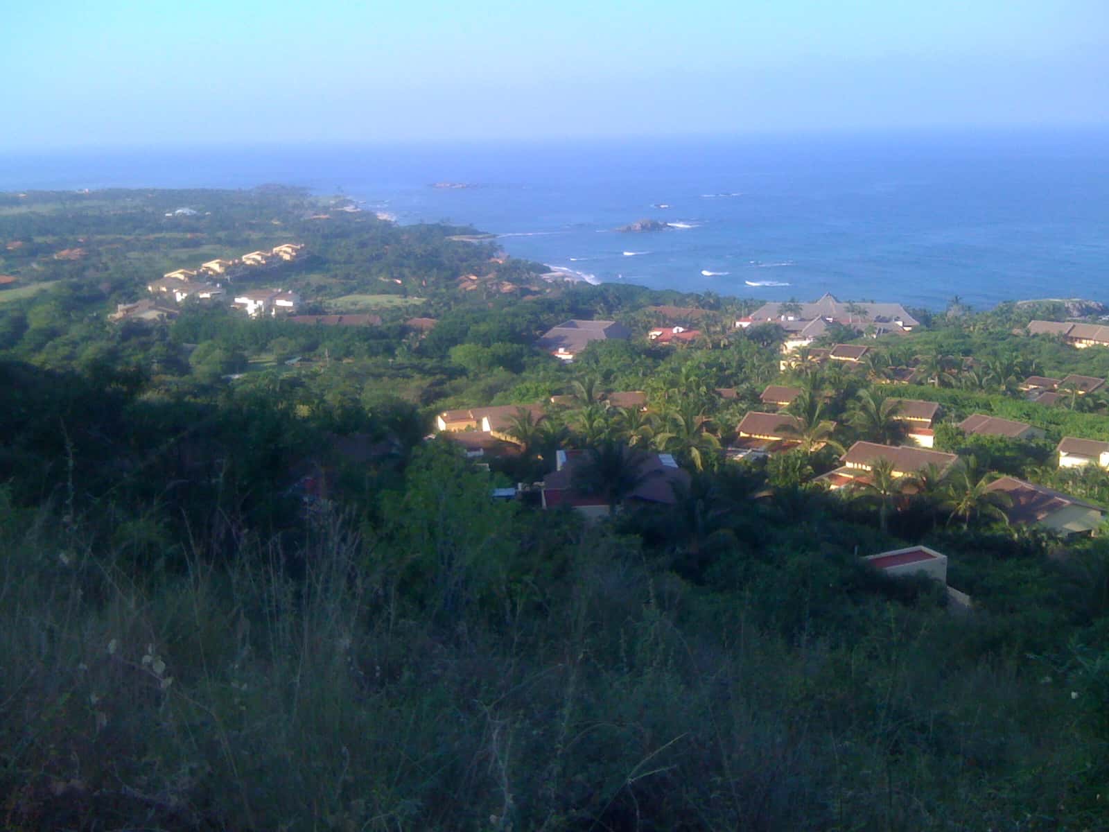
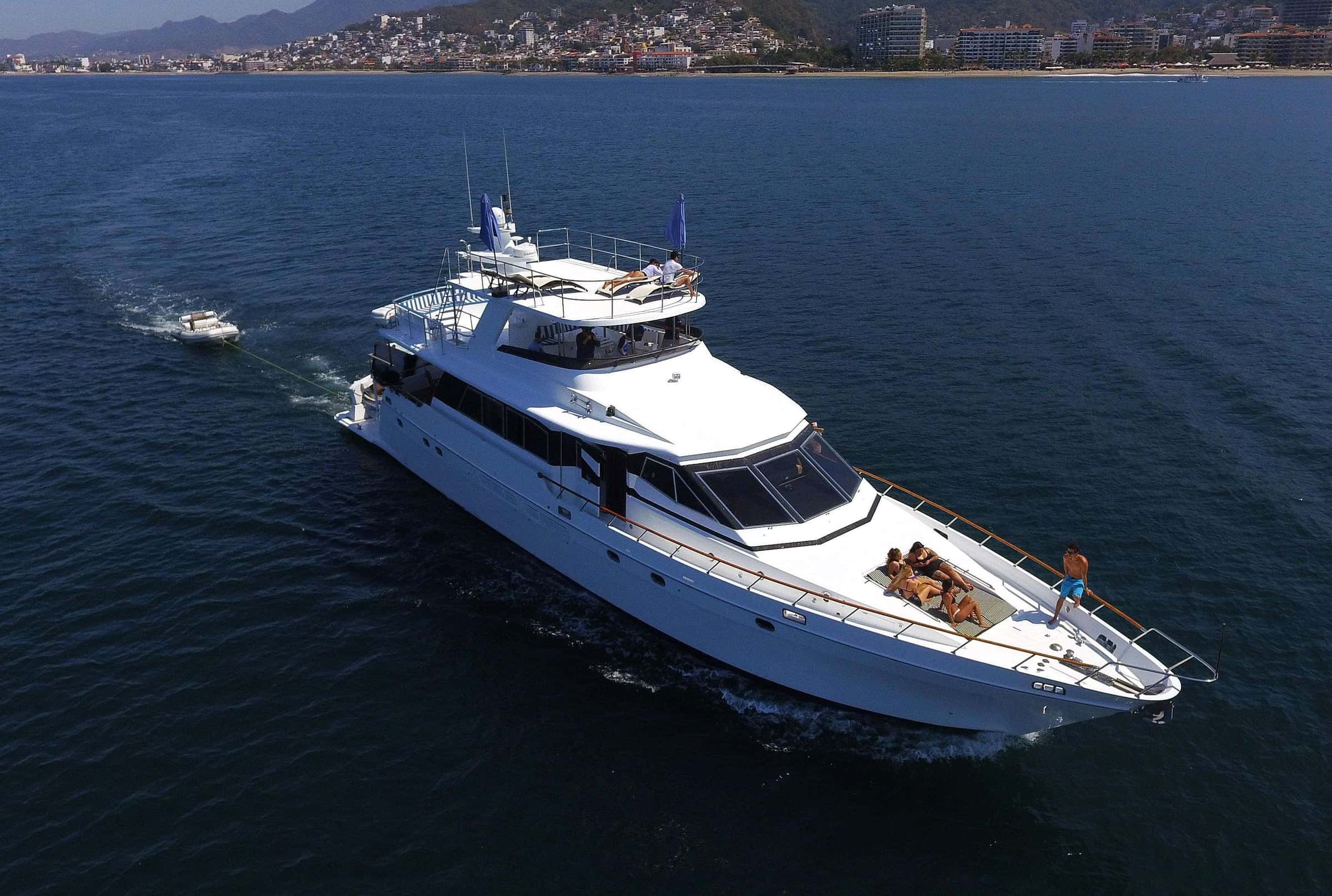
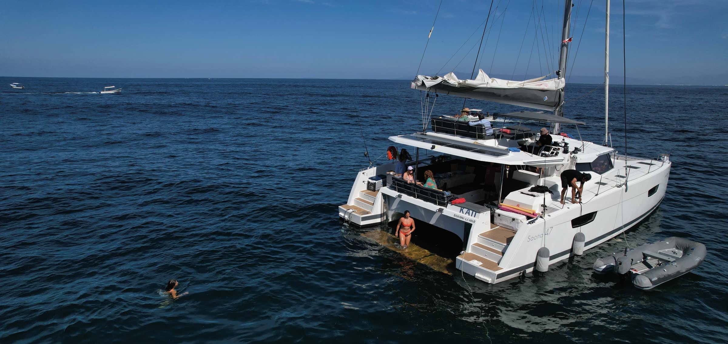
Yachts and boat tours near Punta de Mita
City in Banderas Bay on Banderas Bay
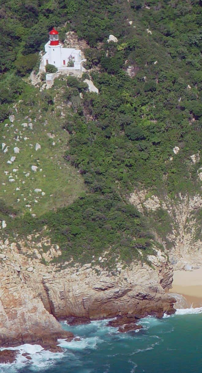
The headland that closes Banderas Bay to the north, in the Mexican state of Nayarit.
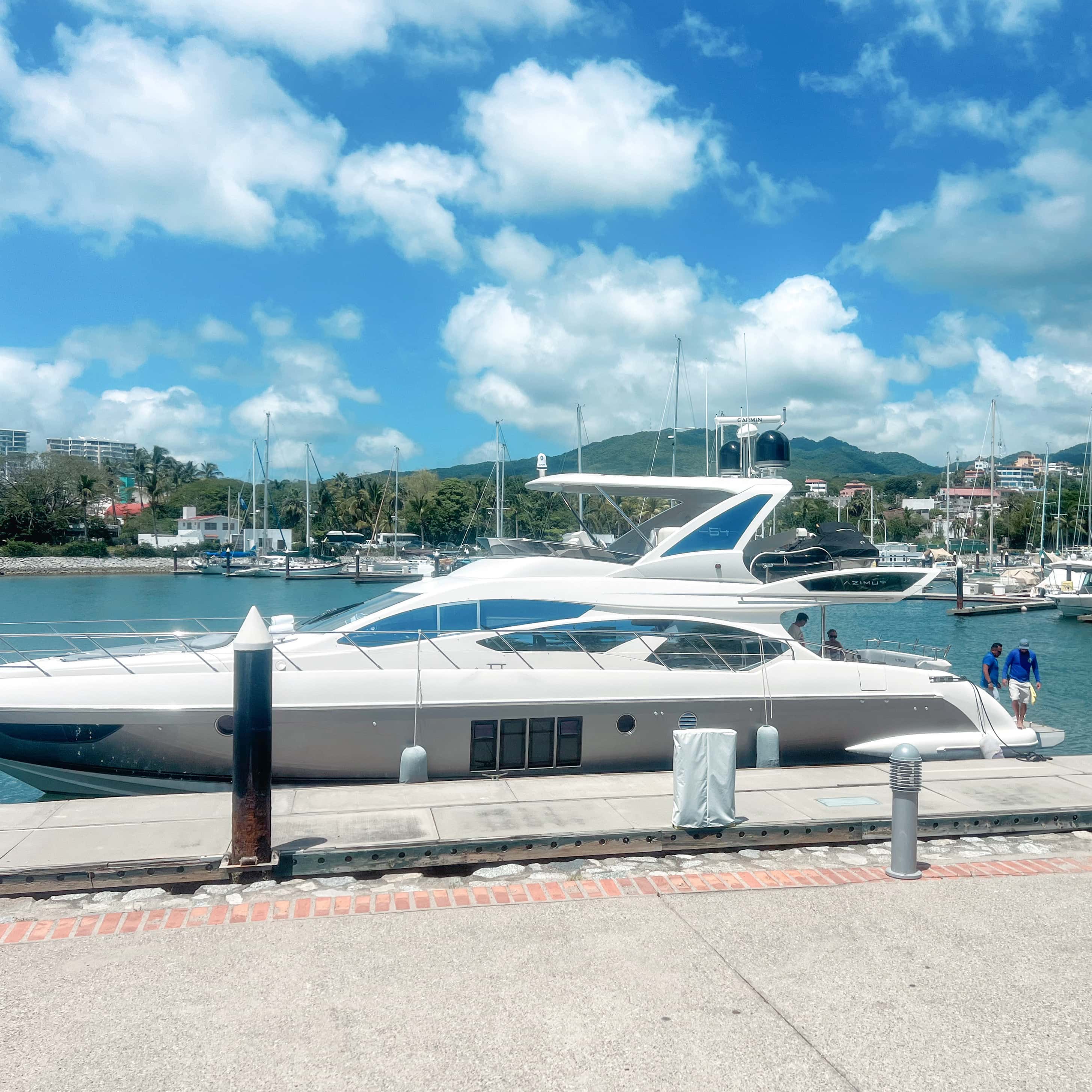
Marinas
- Marina Nuevo Vallarta · 35 min by road
- Marina Riviera Nayarit at La Cruz, La Cruz de Huanacaxtle · 20 min by road
- Marina Vallarta, Puerto Vallarta · 45 min by road
- Opequimar Centro Marino, Puerto Vallarta · 45 min by road
Near Punta de Mita
- Swimming
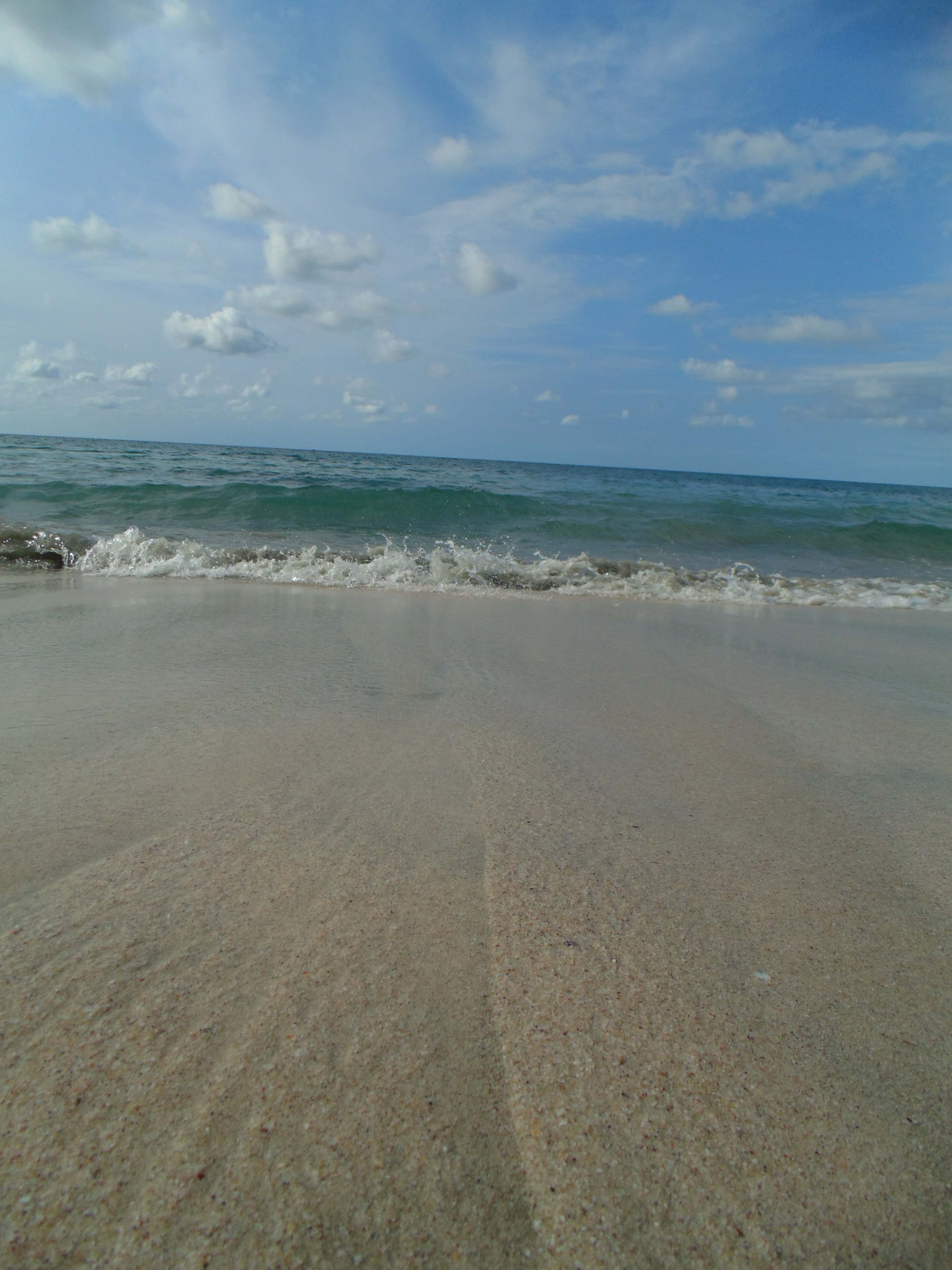
Litibú Beach
A Pacific-facing beach on the north shore of the Punta de Mita peninsula, reached by boat around the point from the Banderas Bay marinas.
- Snorkeling
- Swimming
- Scuba diving
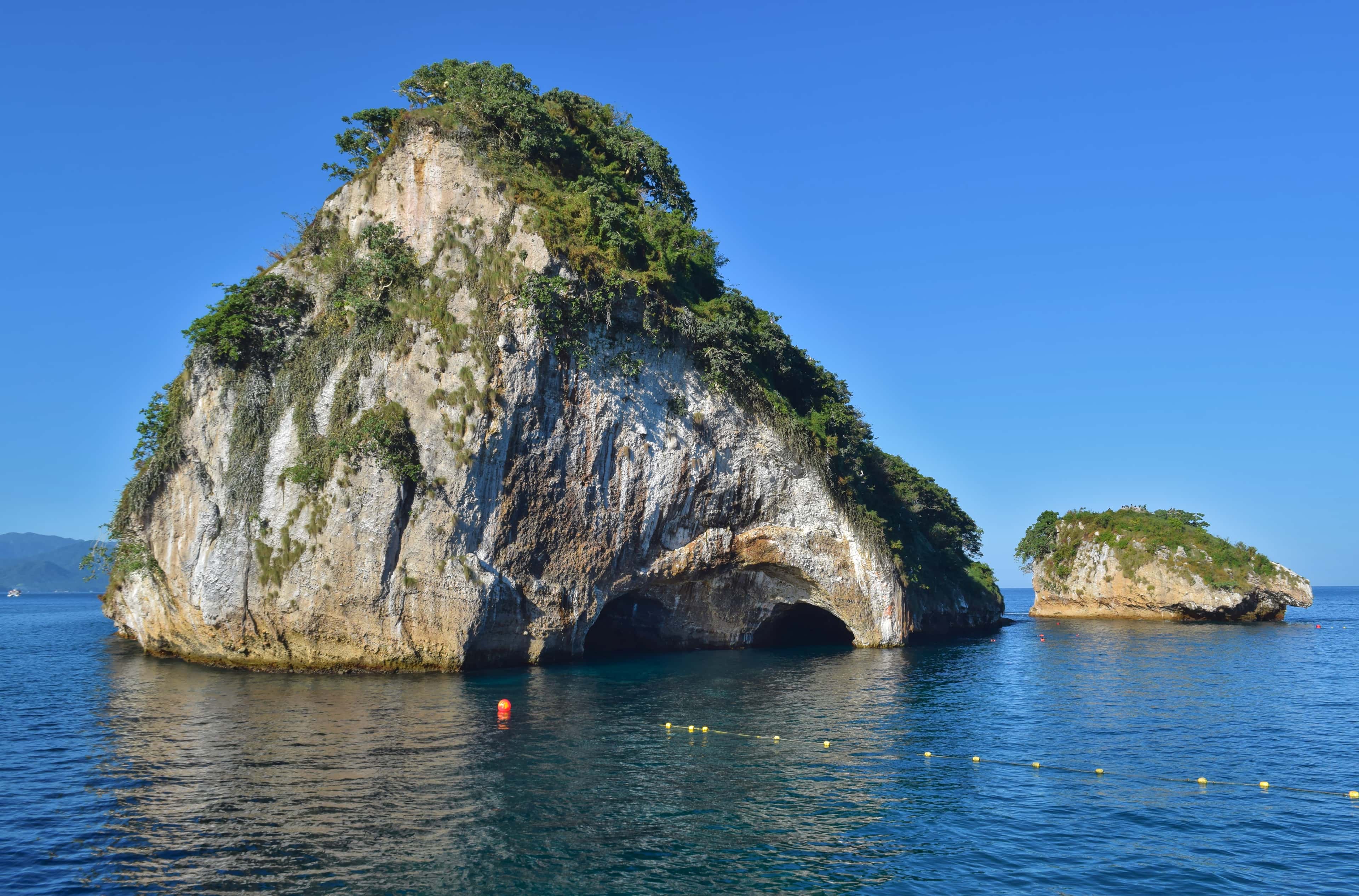
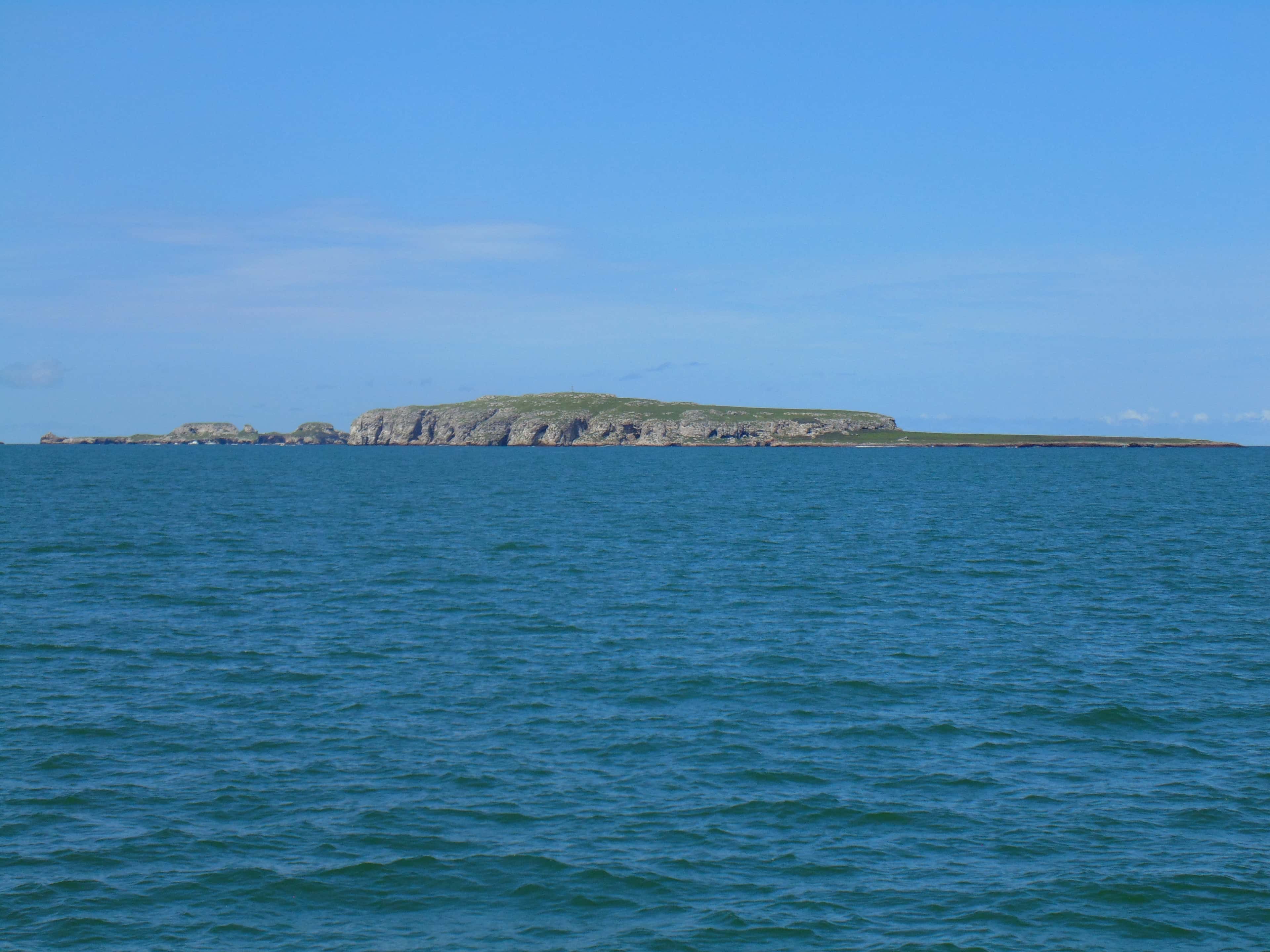
Marietas Islands
Two small islands at the western mouth of Banderas Bay, reached only by boat, with seabirds to watch and water to snorkel and dive.
- Snorkeling
- Scuba diving
- Surfing
- Fishing
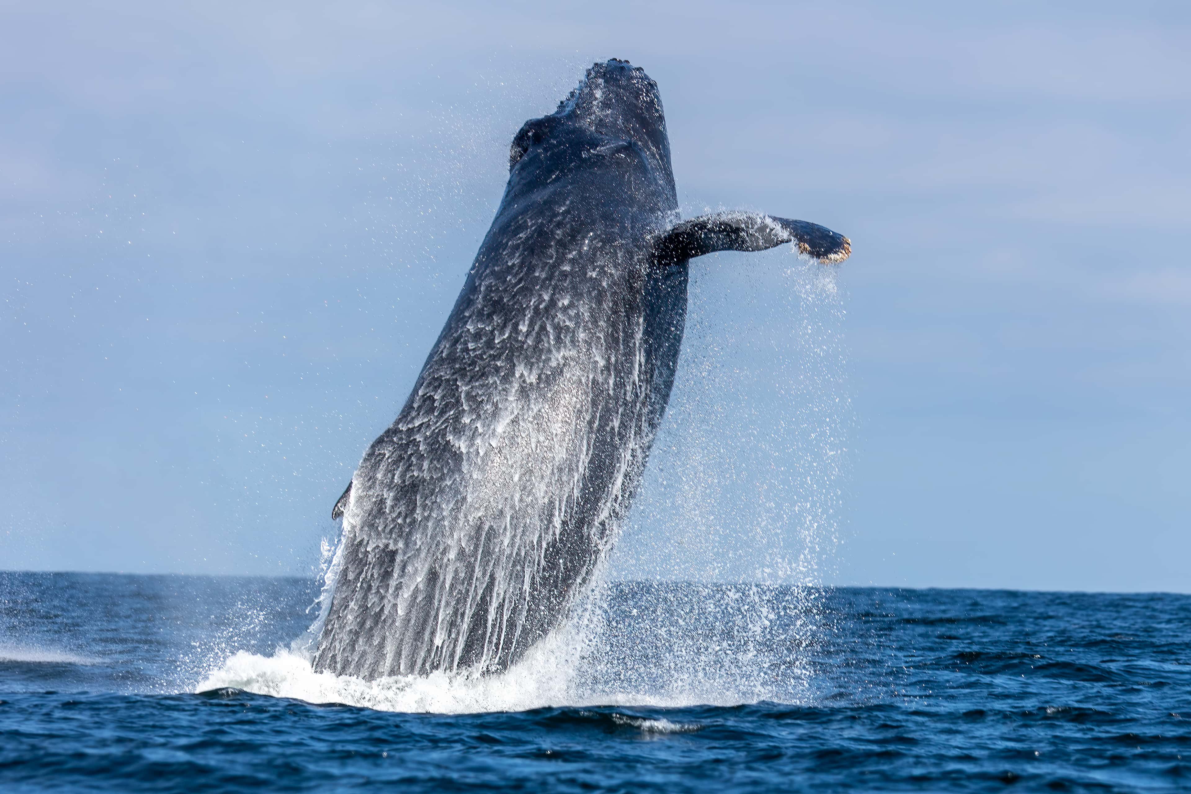
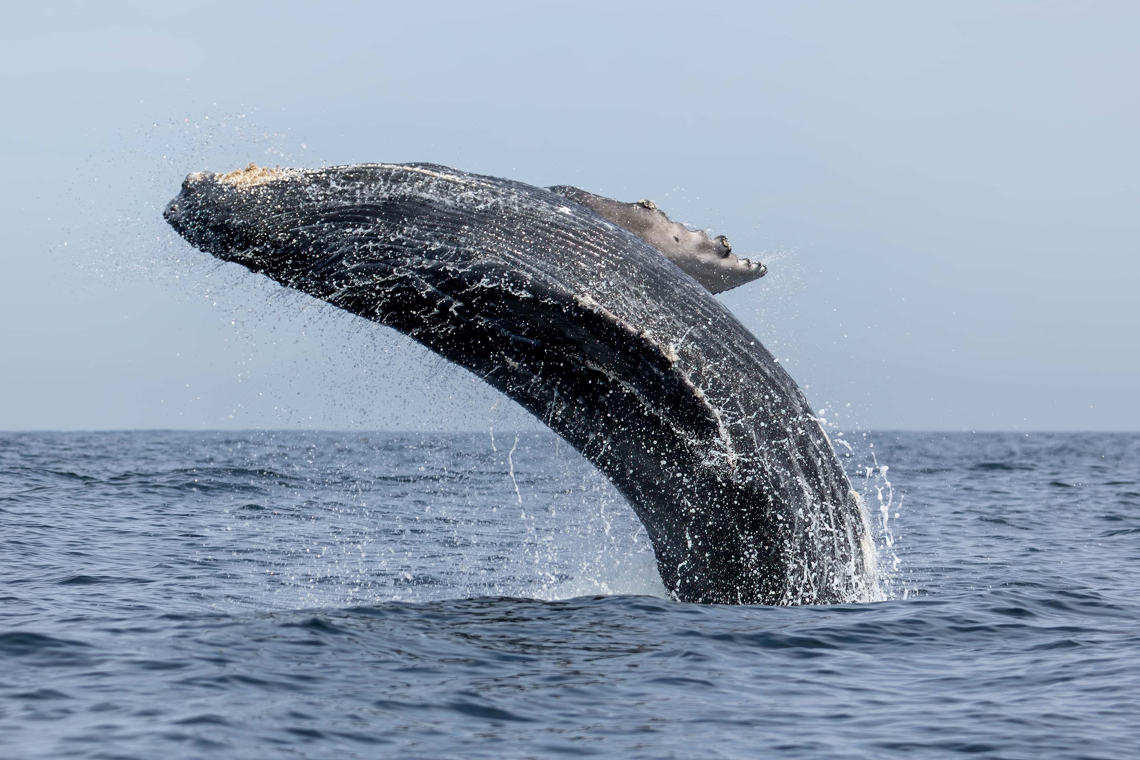
- and 1 more: Whale watching
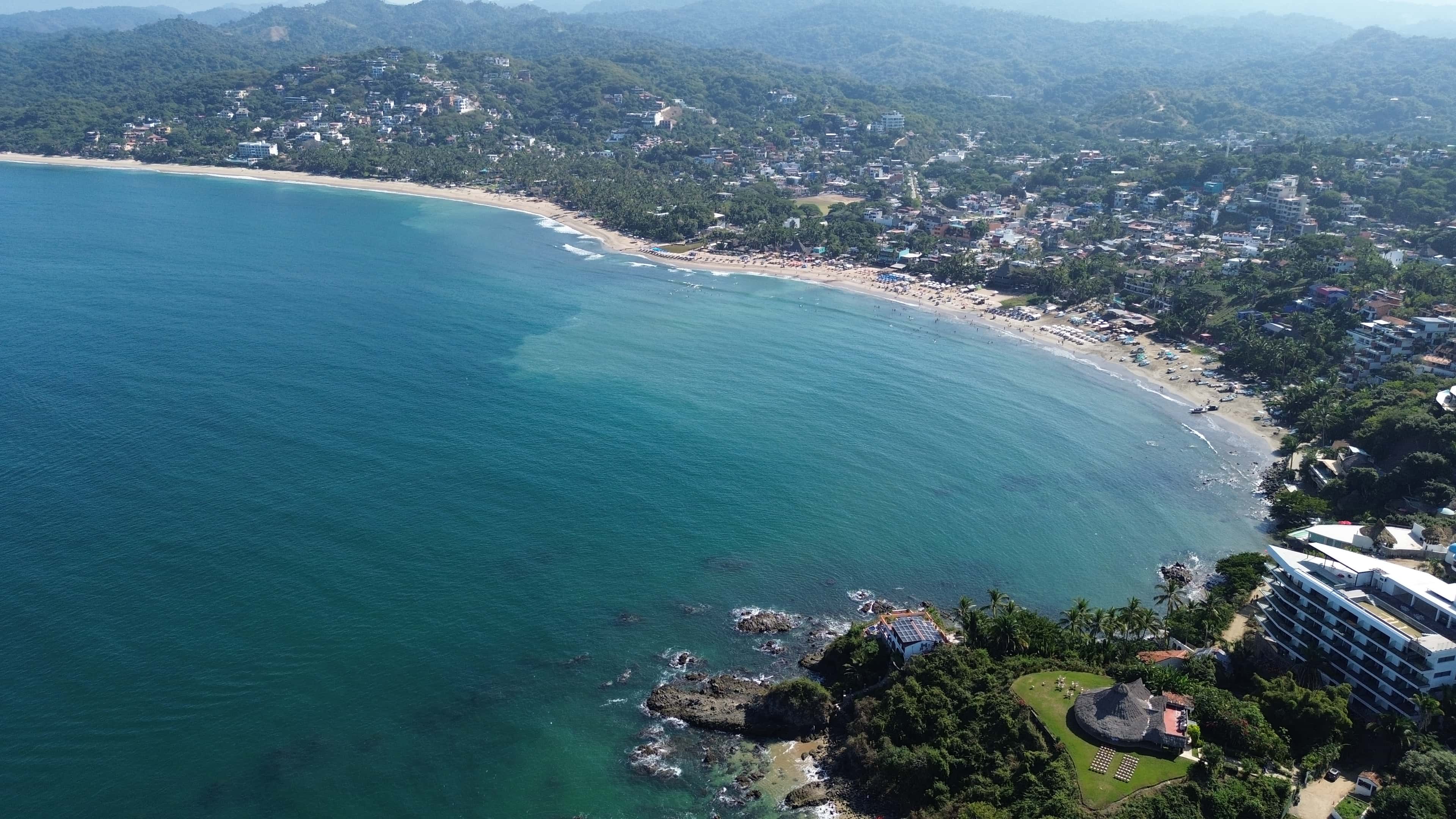
Sayulita
A surf and fishing town on the Nayarit coast just north of Banderas Bay, and a long day out by boat from the bay's marinas.
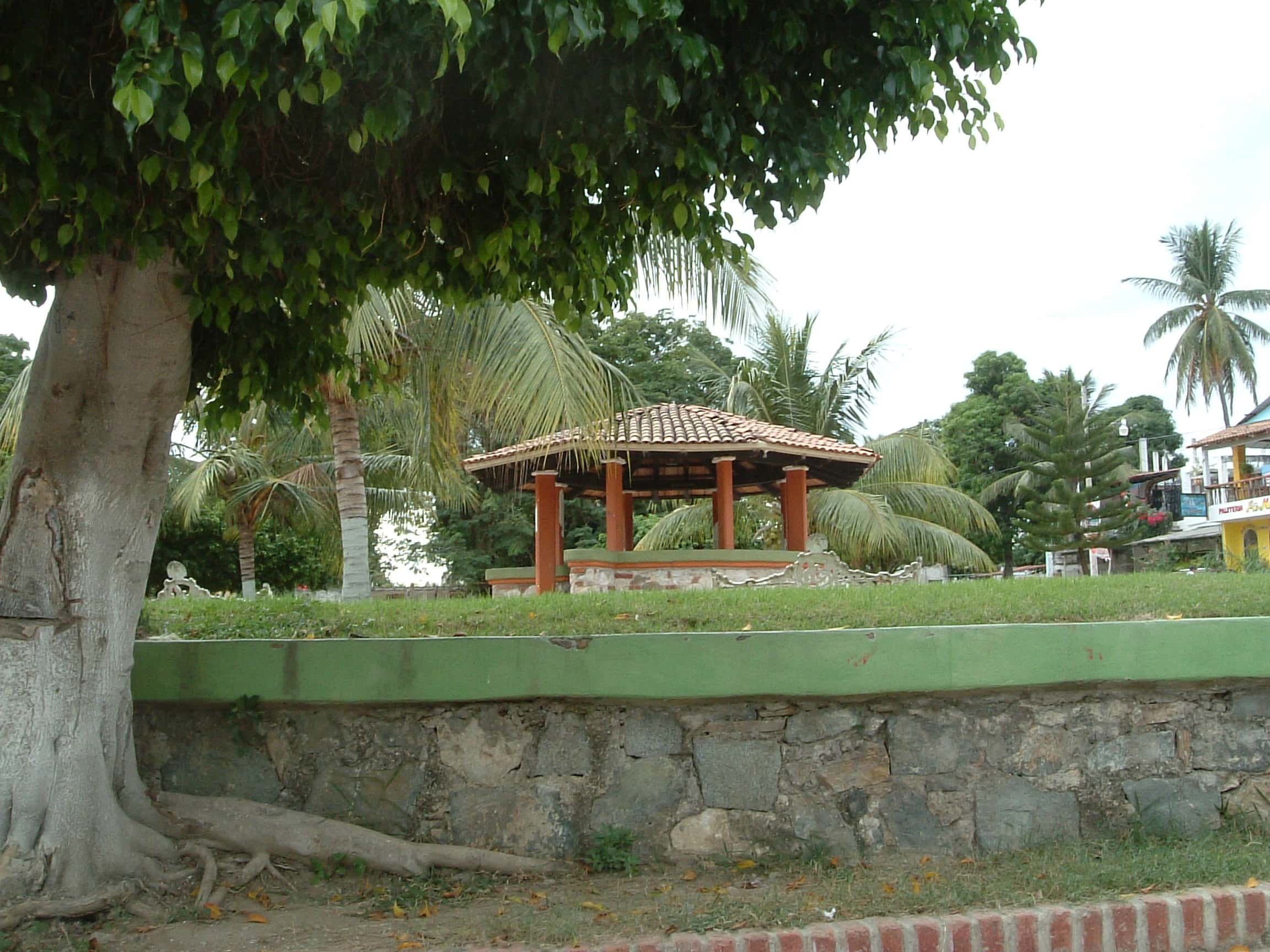
La Cruz de Huanacaxtle
A fishing village on the northern shore of Banderas Bay, in the municipality of Bahía de Banderas, Nayarit, about 25 km from Puerto Vallarta.
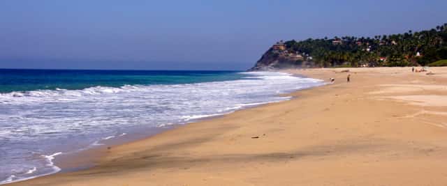
San Pancho
A small town on the open Pacific coast of Nayarit, north of Sayulita and outside Banderas Bay. Yachts reach it on longer coastal trips from the north-shore marinas, roughly 22 nautical miles by sea from La Cruz.
Banderas Bay
The Pacific bay itself, closed by Punta Mita to the north and Cabo Corrientes to the south, with Puerto Vallarta on its shore. Its islands, rocks and dive sites sit in this water.
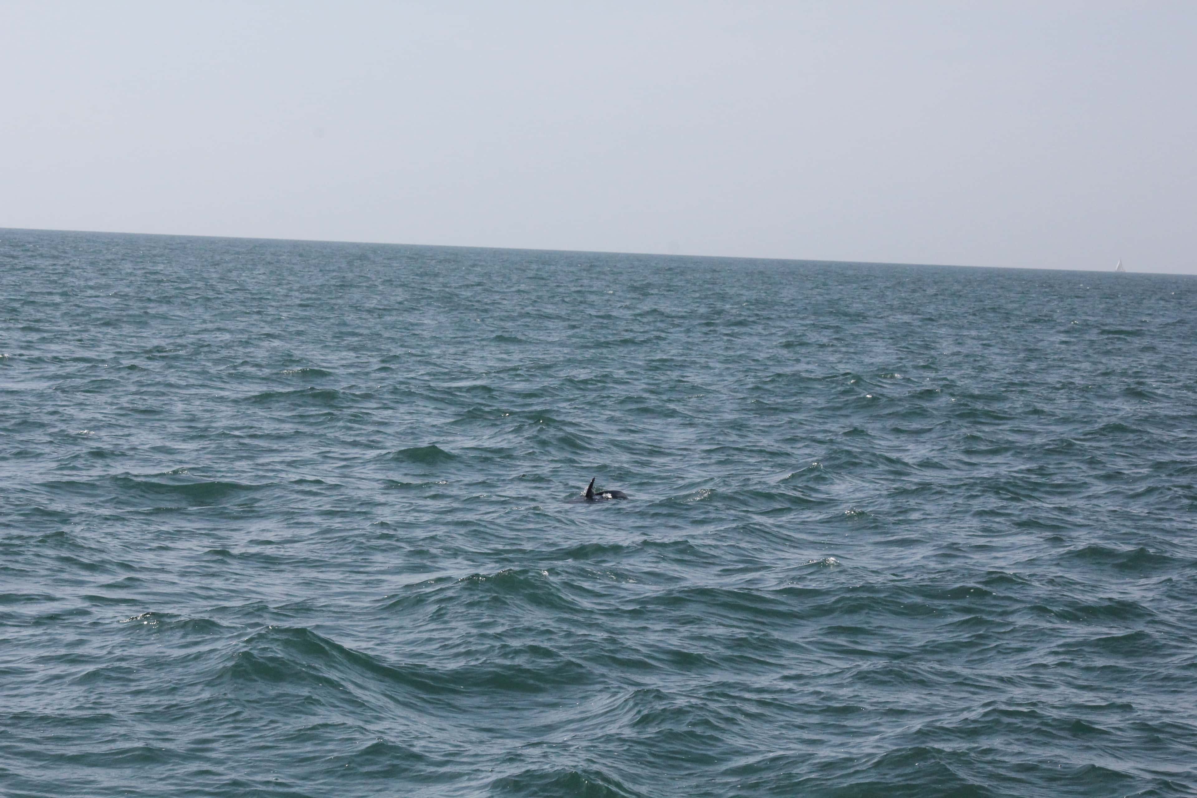
Wild Dolphins of Banderas Bay
Wild dolphins share Banderas Bay with the boats that cross it, and a morning spent looking for them is one of the quieter ways to see the bay. It is a search on open water, so a sighting is never certain.
Bucerías
A beach town of about 16,000 people on the north shore of Banderas Bay, in Nayarit. Yacht days along its shore start from Marina Riviera Nayarit at La Cruz, about 2.3 nautical miles away.
Maps © OpenStreetMap
About Punta de Mita
Getting there by boat
The anchorage lies inside the point, off the beach in front of the town, so most days start with a run across the bay. From Marina Riviera Nayarit at La Cruz it is about 8.5 nautical miles, roughly an hour at a steady 8 knots. From Marina Nuevo Vallarta and Paradise Village it is about 14 nautical miles, close to an hour and three quarters, and from Marina Vallarta or Opequimar about 17, a little over two hours at that speed. The Marietas Islands lie about 5.6 nautical miles to the south-west, so the two fit well into one day.
The town and the peninsula
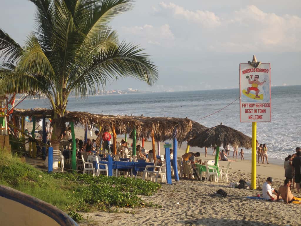
Punta de Mita is about 16 km (10 miles) north of Puerto Vallarta. The point is a 1,500-acre (6.1 km²) peninsula with resort hotels on it. Ashore near the anchorage there are palapa bars on the sand and more than one grocery store, handy for supplies before the boat heads out again.
At anchor
The bay off the beach is broad, with space for many boats at once, and yachts lie in 20 to 30 feet (6 to 9 m) of water. South-west of the basin where the fishing boats tie up, the bottom is rock cobble and slab; sand that holds better lies further out or on the east side. A cruising guide lists the spot as sheltered from the north and the west. The moorings off the beach belong to others and are not for visiting boats, and the fishing-boat basin is no place to bring a yacht in. A guide for sailors visiting the bay names this as one of its three anchorages, with La Cruz de Huanacaxtle and Yelapa, and some overnight charters spend the night at anchor off the point.
Surf and fishing
Surfers ride waves on three sides of the point: north, west and south. One surf guide says a boat from the Punta de Mita harbour is the only practical way to reach one of those breaks, and The Cove has a page of its own. Anglers fish the grounds off the point toward the islands, where one fishing chart lists sailfish, mahi mahi, jack crevalle, Spanish mackerel, amberjack, red snapper and roosterfish.
What a guest should know
Waves can break over rocky shoals a quarter of a mile or more from shore, so boats keep well clear when rounding the point, where a yellow buoy sometimes marks the turn. When the surf is high, a landing on the beach by tender gets harder; we'll confirm on the day whether the swell allows one. The rules for the islands offshore, including how close a boat may come, are on the Islas Marietas National Park page, and the wider bay is on the Banderas Bay page.