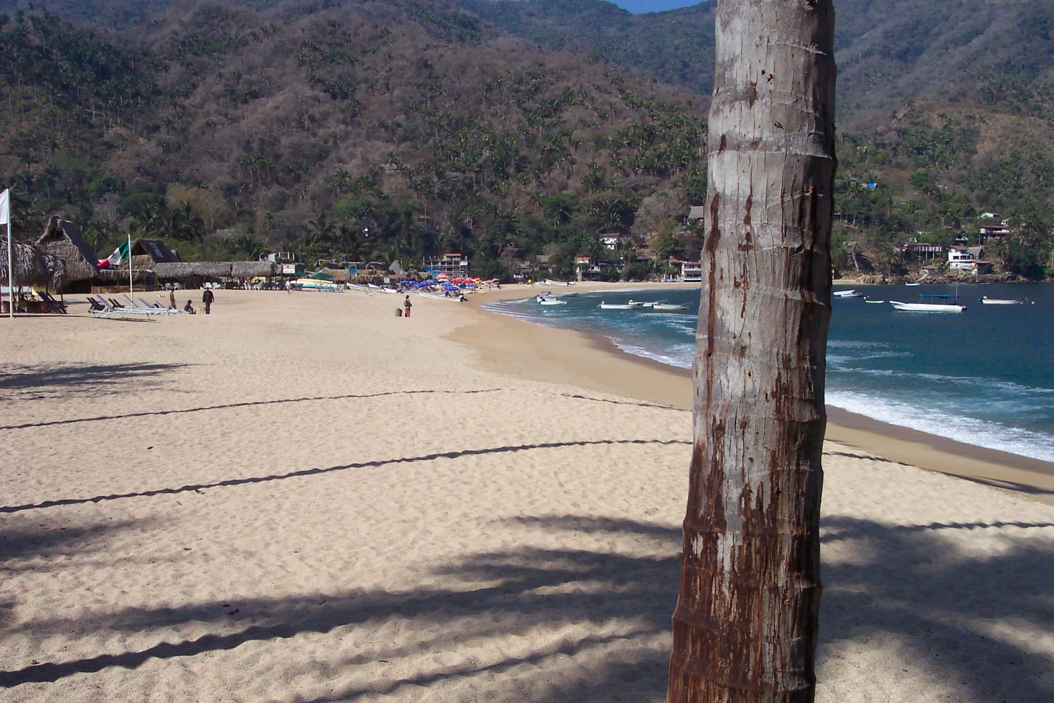
Yelapa
Village in Banderas Bay on Banderas Bay
A village in the southernmost cove of Banderas Bay, in Cabo Corrientes, Jalisco, with no road fit for ordinary vehicles.
Marinas
- Marina Nuevo Vallarta
- Marina Vallarta, Puerto Vallarta
Near Yelapa
- Snorkeling
- Swimming
Pizota
Pizota sits on the far southern shore of Banderas Bay, 2.4 nautical miles west of Yelapa. Yachts anchor off its quiet cove for a swim and a snorkel in calm, clear water.
- Snorkeling
- Scuba diving
Majahuitas
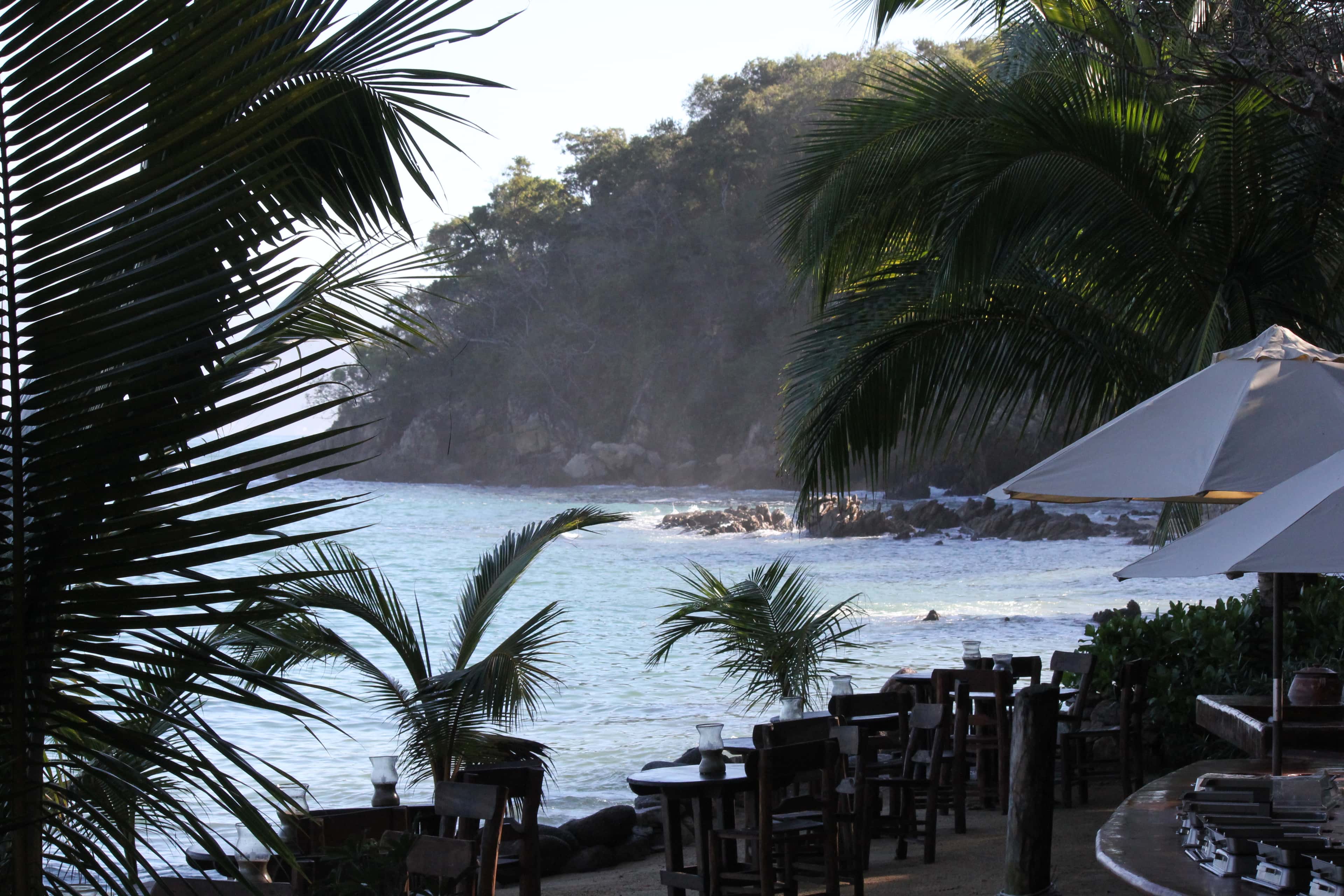
Majahuitas is a small cove on the southern shore of Banderas Bay, between Quimixto and Yelapa. No road reaches it, so guests arrive by boat.
- Snorkeling
- Scuba diving
Las Caletas
A small boat-only cove on the southern shore of Banderas Bay, below a nature preserve, where the film director John Huston once lived. One tour company runs the beach and grounds as its own day trip, and the sources do not settle whether a charter yacht's guests may go ashore.
- Snorkeling
- Swimming
Quimixto
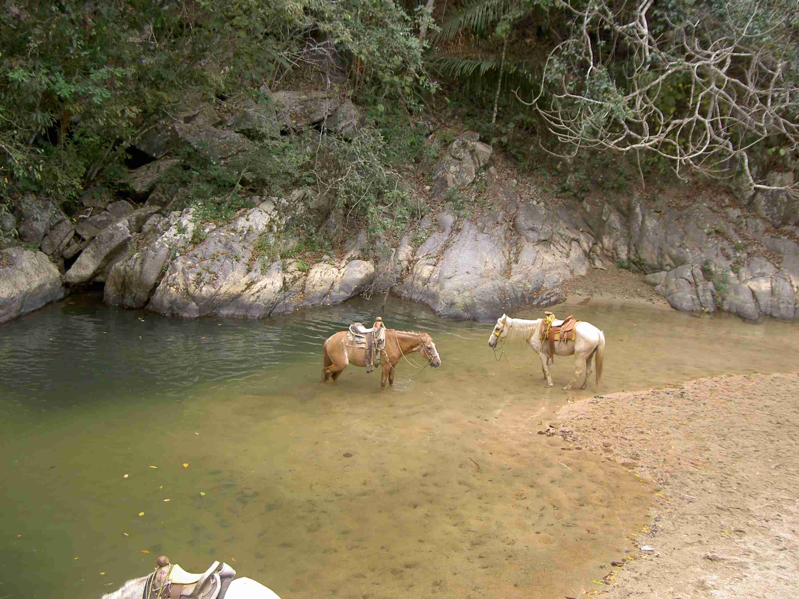
A small village on the southern shore of Banderas Bay that has no road and is reached only by boat. Palapa restaurants face the water on its beach, and a trail up the river valley behind it leads to a seasonal waterfall.
- Snorkeling
- Swimming
Las Ánimas Beach
A broad stretch of sand south-west of Puerto Vallarta, on the far side of Banderas Bay from the marinas, that works well as a lunch and swim stop on a day out by boat.
- Snorkeling
- Swimming
Playa Caballo
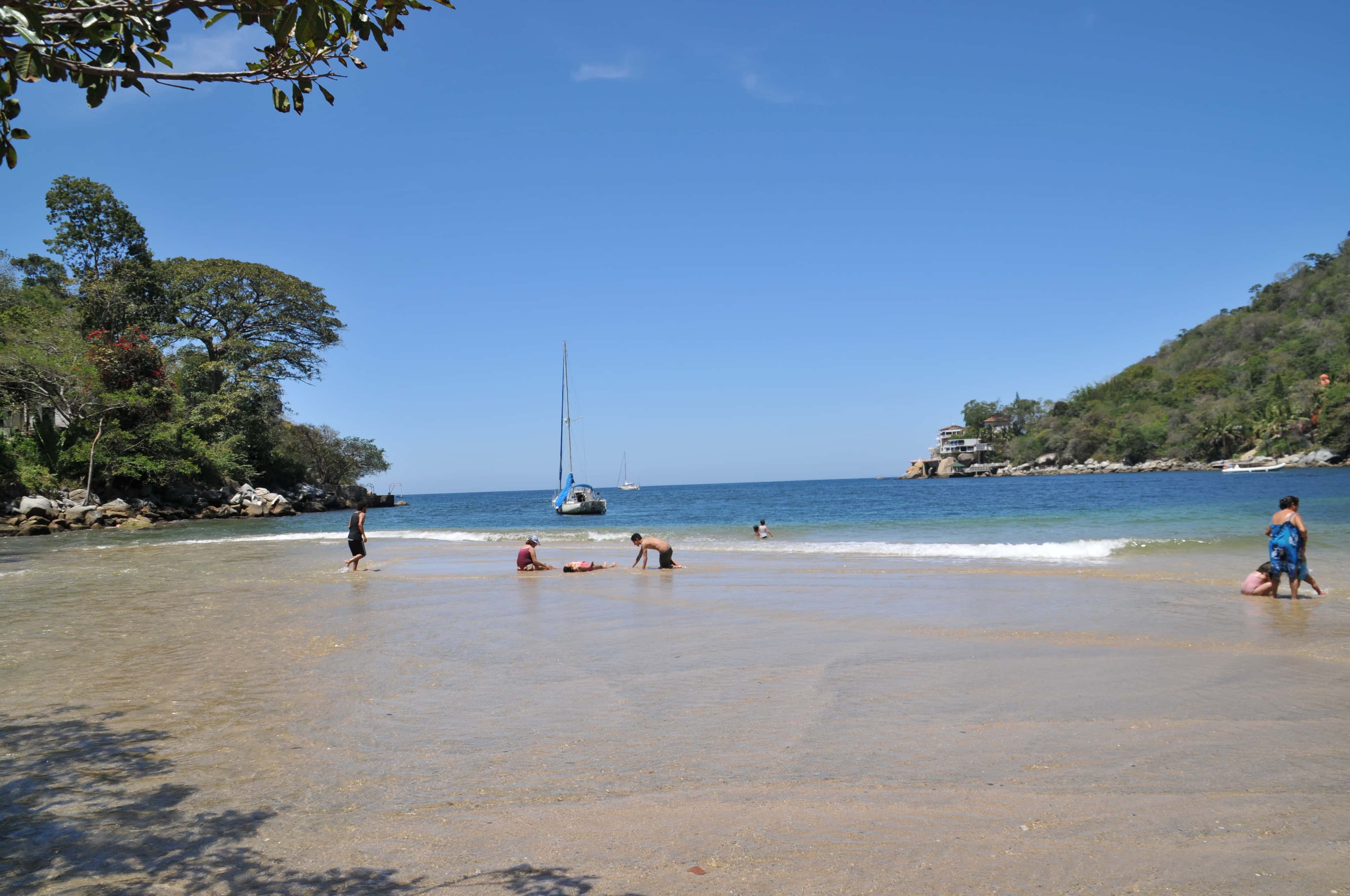
On the south shore of Banderas Bay, Playa Caballo sits just north-east of Las Ánimas, on the Boca de Tomatlán side. No road reaches the sand, so it is a swimming and snorkelling stop that guests land at from the boat or walk to on a trail.
Boca de Tomatlán
A small fishing village at the mouth of the Horcones River, about 17 km south of downtown Puerto Vallarta. Its pier is the main departure point for the public water taxis to the beaches and villages of the southern shore.
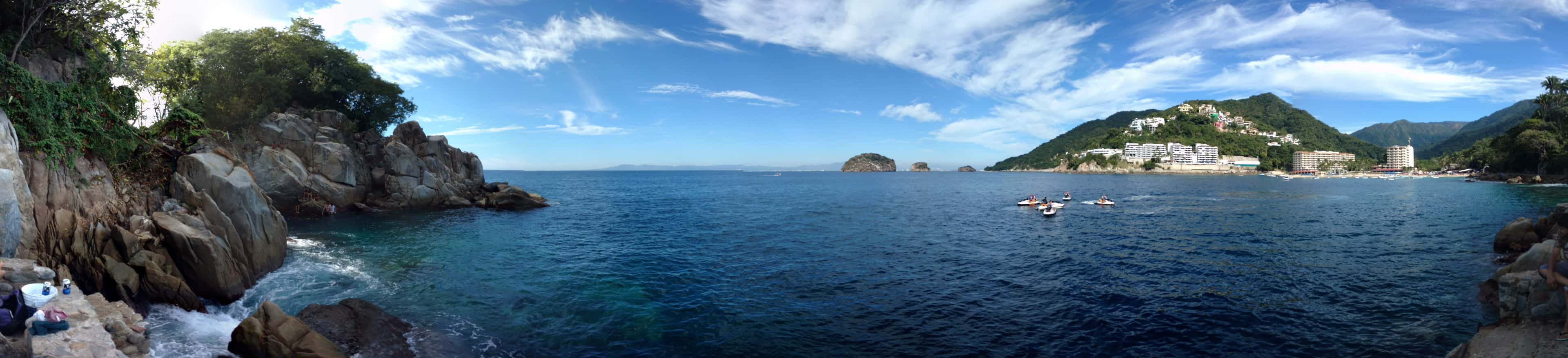
Mismaloya
A small village and beach on the southern shore of Banderas Bay, south of Puerto Vallarta, looking out to the Los Arcos rocks. The Night of the Iguana was filmed here in 1963.
Maps © OpenStreetMap
About Yelapa
Getting there by boat
Yelapa lies about 15.3 nautical miles south-west of Marina Vallarta in a straight line, which at a steady 8 knots is a little under two hours each way; the line from Marina Riviera Nayarit at La Cruz is about 16.1 nautical miles. The run crosses open water along the bay's southern shore, so a day on the water can pair it with stops closer in, such as Majahuitas, about 3.3 nautical miles to the east. Public water taxis also serve the village from Puerto Vallarta and from Boca de Tomatlán.
The village
There are no cars here. Narrow cobblestone lanes climb steep, jungle-covered slopes behind the beach, and the only other way in is a rocky trail along the coast, mostly travelled on horseback or by mule. Electricity reached the village only in 2001. The 2020 census counted 882 residents, and the name is said to come from an indigenous phrase meaning the place where two rivers meet the sea.
A waterfall just beyond the far side of the village draws many visitors ashore. It is a walk through town from the beach, so allow time for the slope.
Anchoring and landing
Yelapa is one of the few places in Banderas Bay where boats anchor, but the water off the village is deep and the anchorage is unprotected from the open sea. Local pangas work the cove. Surf on the beach can be sizeable, which makes landing a tender awkward on some days, so your captain chooses where and when to go ashore.
What to know
Bring sun cover and shoes you can walk uphill in. Swell decides how comfortable the anchorage and the landing are on the day, and we'll confirm the plan with your captain before you leave the marina.