Yachts and boat tours to Cabo Corrientes
Cape in Banderas Bay on Banderas Bay
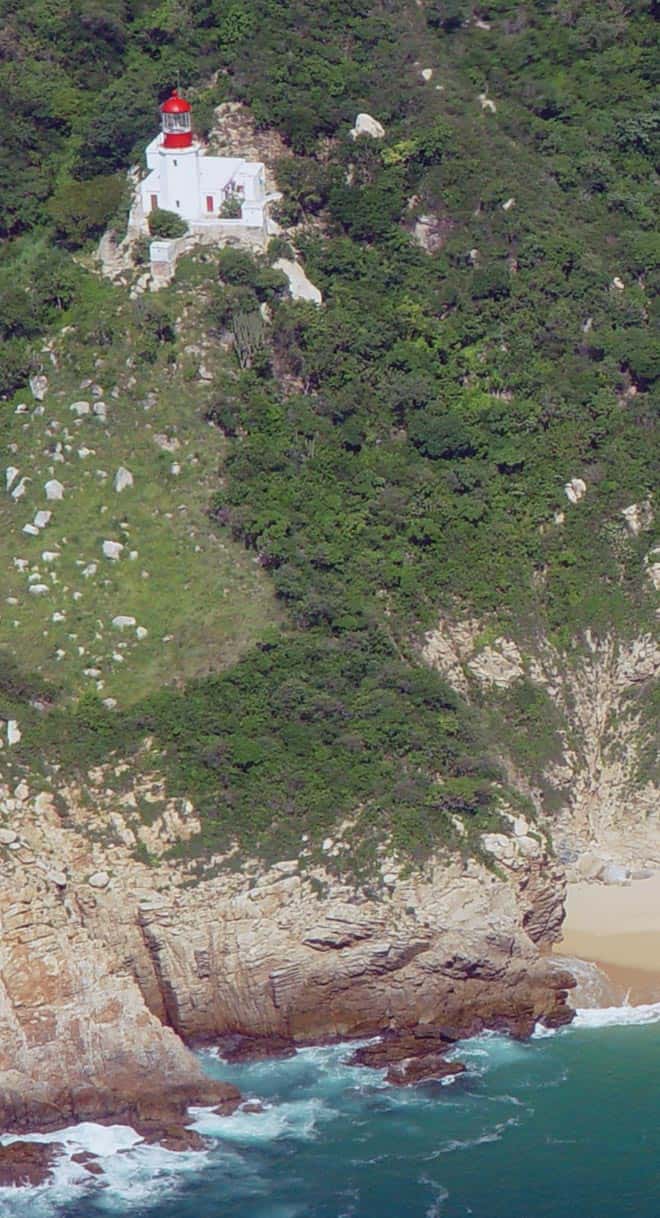
Cabo Corrientes is the point of land that closes Banderas Bay to the south, with a lighthouse on it that dates from the early 1900s. It lies 26.9 to 29.2 nautical miles in a straight line from the bay's marinas, a full day out and back.
Marinas
- Marina Vallarta, Puerto Vallarta
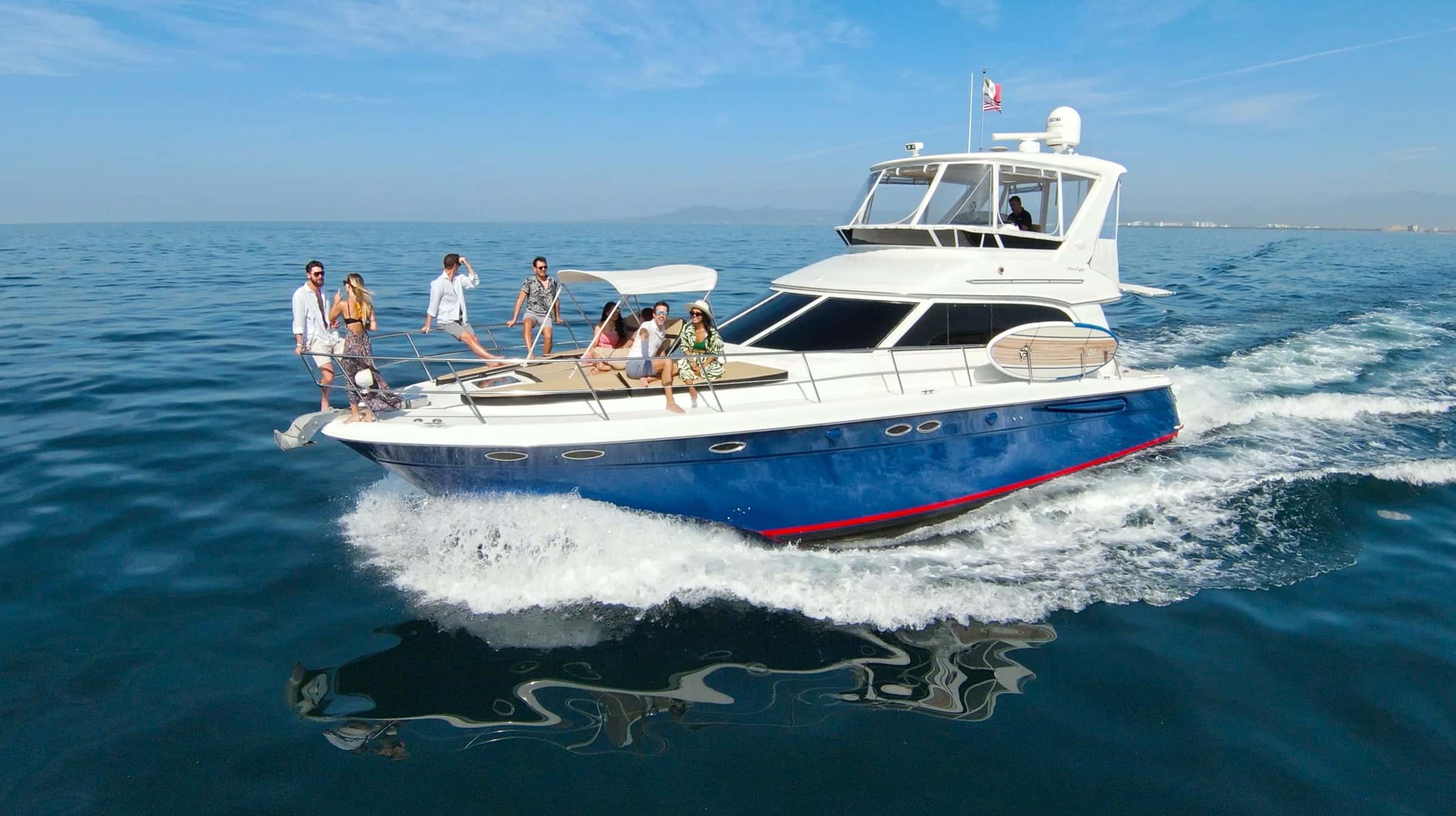
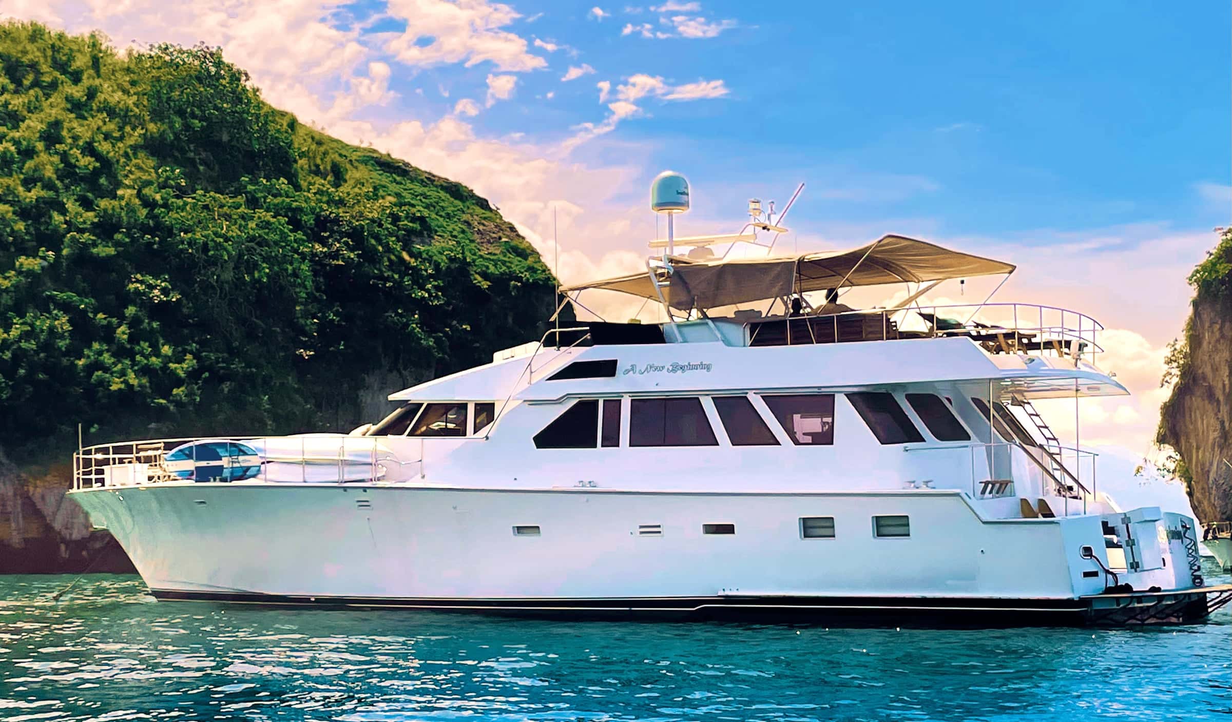
Near Cabo Corrientes
Los Corrales
A small fishing village at Cabo Corrientes in Jalisco, just around the cape at the southern point of Banderas Bay. It can be reached by boat, or overland by a long trip and then a hike, and it is known for its oysters.
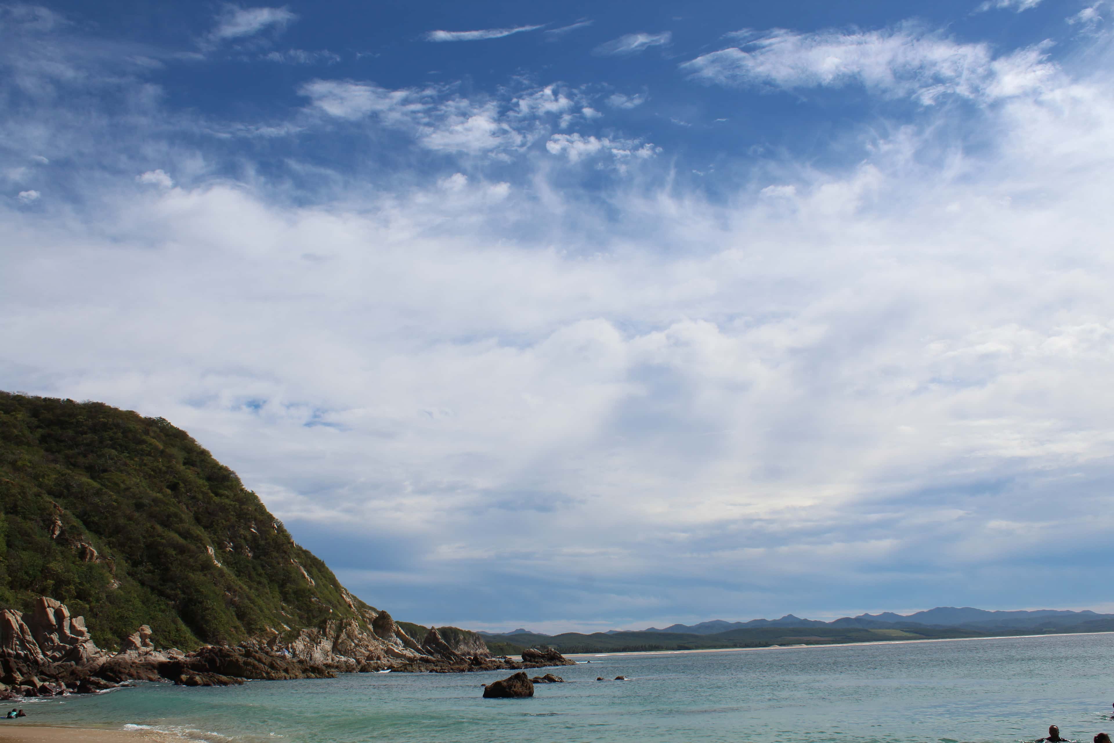
Tehuamixtle
A small bay and community in the municipality of Cabo Corrientes, Jalisco, on the open Pacific south of the cape that closes Banderas Bay. It is a long run by sea from the Puerto Vallarta marinas, best kept for a trip of more than one day.
- Snorkeling
- Swimming
Pizota
Pizota sits on the far southern shore of Banderas Bay, 2.4 nautical miles west of Yelapa. Yachts anchor off its quiet cove for a swim and a snorkel in calm, clear water.
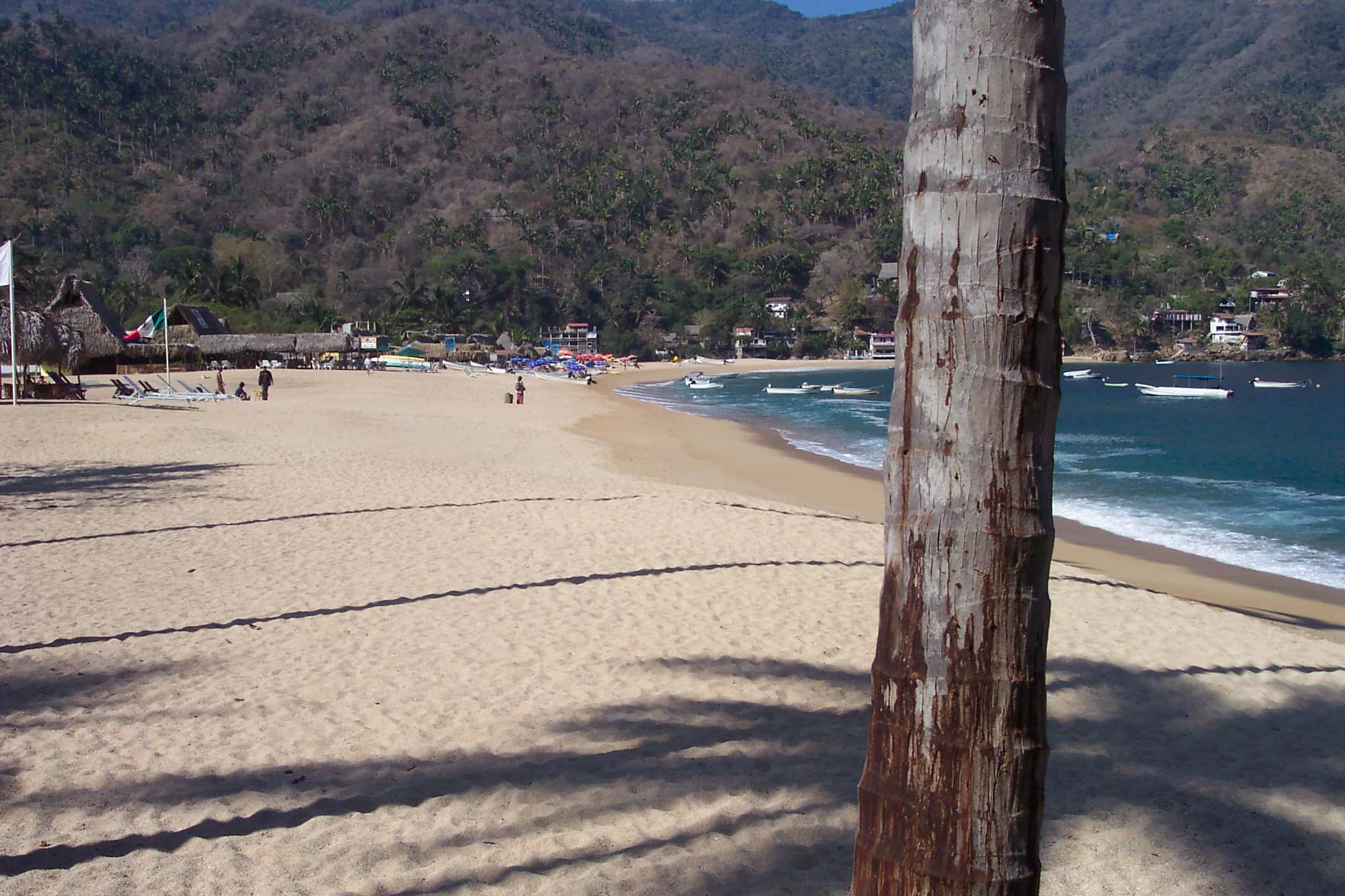
Yelapa
A village in the southernmost cove of Banderas Bay, in Cabo Corrientes, Jalisco, with no road fit for ordinary vehicles.
- Snorkeling
- Scuba diving
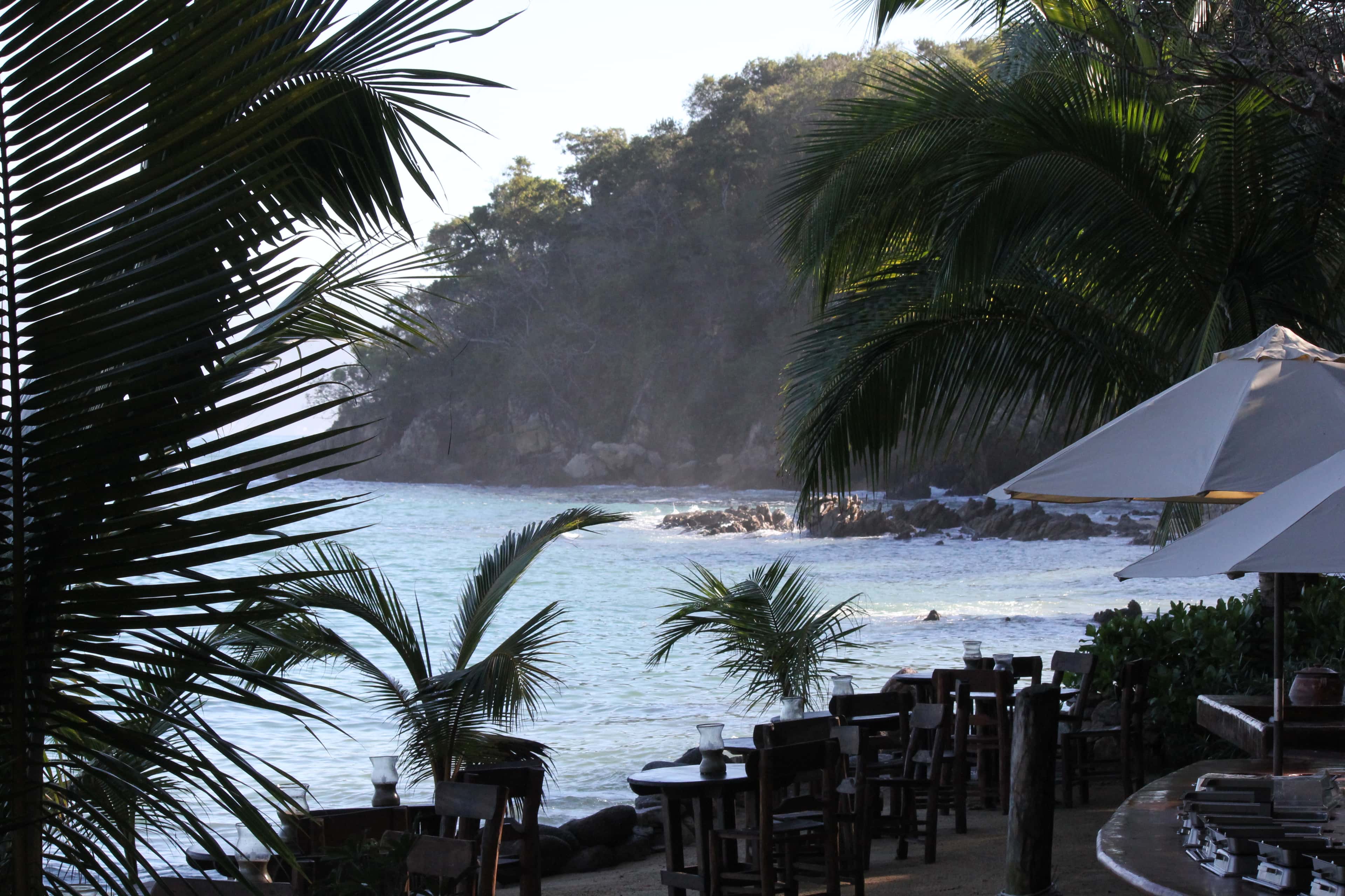
Majahuitas
Majahuitas is a small cove on the southern shore of Banderas Bay, between Quimixto and Yelapa. No road reaches it, so guests arrive by boat.
- Snorkeling
- Scuba diving
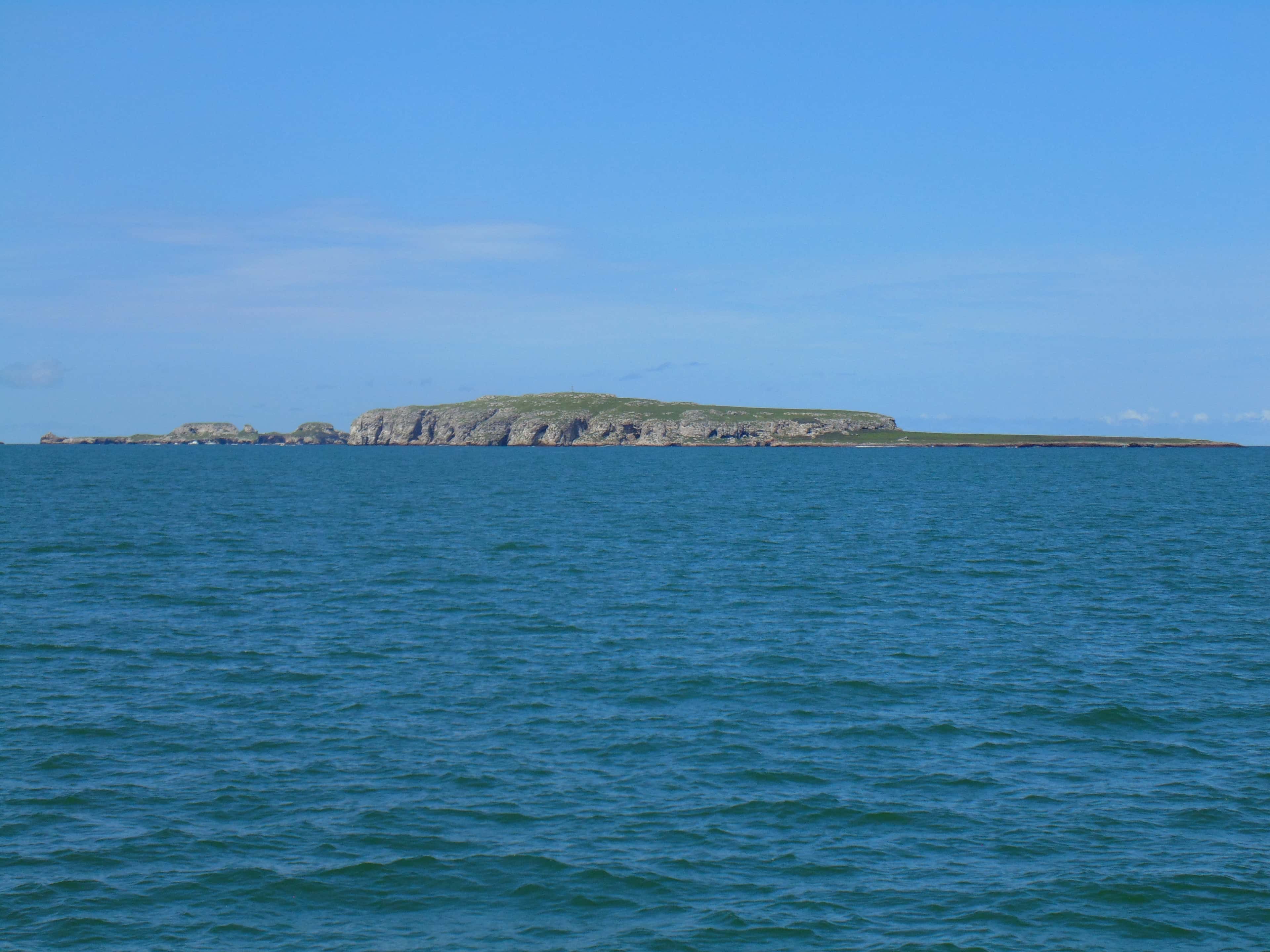
Las Caletas
A small boat-only cove on the southern shore of Banderas Bay, below a nature preserve, where the film director John Huston once lived. One tour company runs the beach and grounds as its own day trip, and the sources do not settle whether a charter yacht's guests may go ashore.
- Snorkeling
- Swimming
- Scuba diving
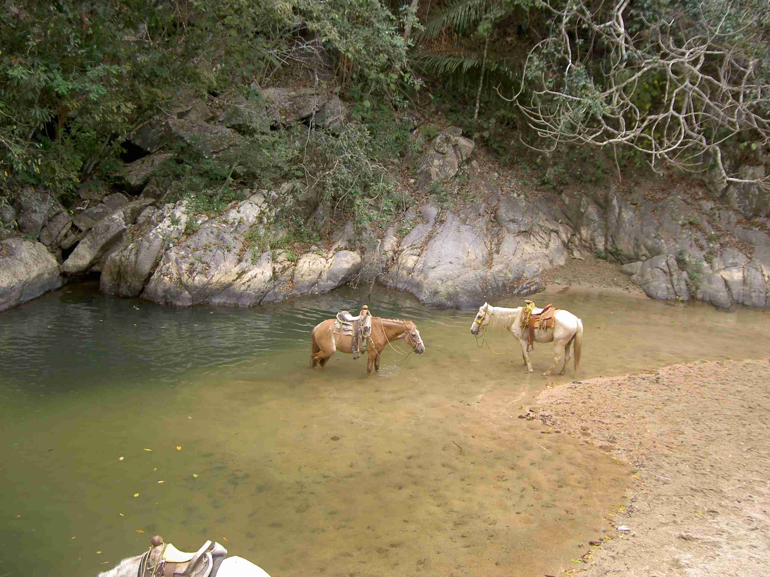
Marietas Islands
Two small islands at the western mouth of Banderas Bay, reached only by boat, with seabirds to watch and water to snorkel and dive.
- Snorkeling
- Swimming
Quimixto
A small village on the southern shore of Banderas Bay that has no road and is reached only by boat. Palapa restaurants face the water on its beach, and a trail up the river valley behind it leads to a seasonal waterfall.
Maps © OpenStreetMap
About Cabo Corrientes
Where the bay ends
Banderas Bay is framed by two points of land: Punta de Mita on the Nayarit side to the north and Cabo Corrientes in Jalisco to the south. The cape is the southernmost point of the bay, and the coastal municipality around it takes its name from it.
The lighthouse
A lighthouse stands on the cape, close to the village of Corrales. It dates from the early 1900s, so it has marked this corner of the coast for well over a century. From the water it tells you that you have reached the end of the bay.
Getting there by boat
In a straight line, the cape lies 26.9 nautical miles from Marina Riviera Nayarit at La Cruz, 28.1 from Marina Nuevo Vallarta and about 29 from Marina Vallarta and the boarding point beside it. At an assumed cruising speed of 20 knots that is roughly 80 to 90 minutes each way, and the course a boat actually steers is usually a little longer than the straight line. The run home takes as long again, so the cape suits a full day on the water rather than a short outing.
Who goes there
Sportfishing boats from the Vallarta marinas can run south as far as the cape, and trips of more than a day carry on past it toward the coast further south. On a sightseeing day the cape makes a simple goal: cruise the length of the southern shore, see the lighthouse on its point, and turn back into the bay.
What to know
Plan the day around the round trip from your boarding point; nothing we read lists a place to refuel at the cape. Bring water and sun cover for the hours under way. We'll confirm the route, the time under way and the conditions with the captain when you book.